MyTopo
Barren Butte North Dakota US Topo Map
Regular price
$16.95
Regular price
Sale price
$16.95
Unit price
per
Couldn't load pickup availability
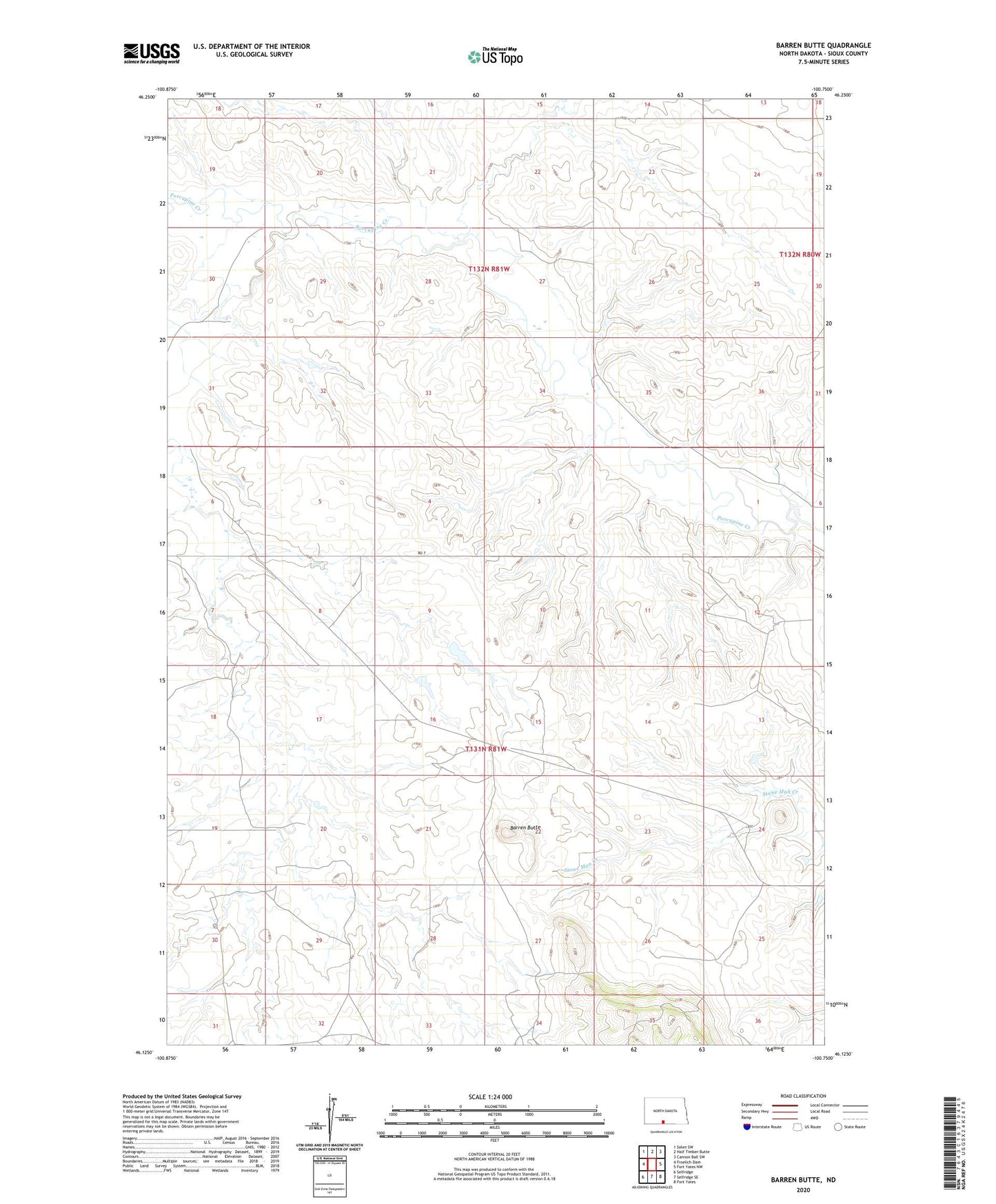
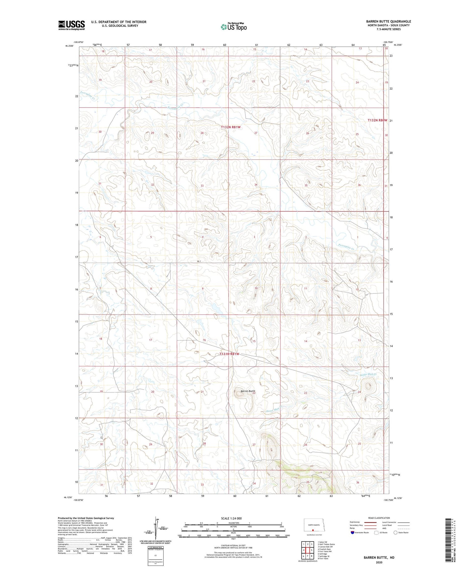
2020 topographic map quadrangle Barren Butte in the state of North Dakota. Scale: 1:24000. Based on the newly updated USGS 7.5' US Topo map series, this map is in the following counties: Sioux. The map contains contour data, water features, and other items you are used to seeing on USGS maps, but also has updated roads and other features. This is the next generation of topographic maps. Printed on high-quality waterproof paper with UV fade-resistant inks.
Quads adjacent to this one:
West: Froelich Dam
Northwest: Solen SW
North: Half Timber Butte
Northeast: Cannon Ball SW
East: Fort Yates NW
Southeast: Fort Yates
South: Selfridge SE
Southwest: Selfridge
Contains the following named places: Barren Butte