MyTopo
Alkali Creek West South Dakota US Topo Map
Couldn't load pickup availability
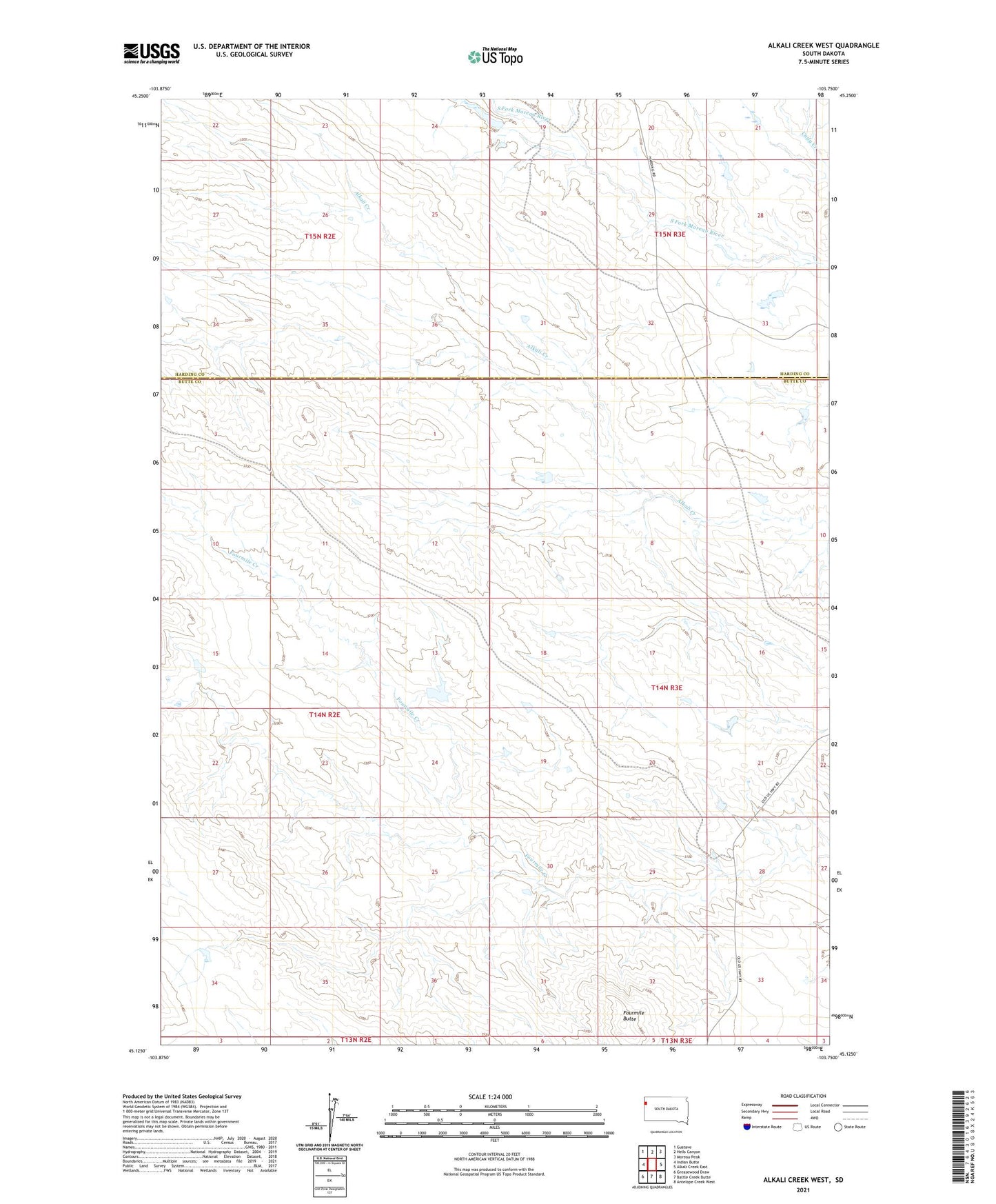
2021 topographic map quadrangle Alkali Creek West in the state of South Dakota. Scale: 1:24000. Based on the newly updated USGS 7.5' US Topo map series, this map is in the following counties: Butte, Harding. The map contains contour data, water features, and other items you are used to seeing on USGS maps, but also has updated roads and other features. This is the next generation of topographic maps. Printed on high-quality waterproof paper with UV fade-resistant inks.
Quads adjacent to this one:
West: Indian Butte
Northwest: Gustave
North: Hells Canyon
Northeast: Moreau Peak
East: Alkali Creek East
Southeast: Antelope Creek West
South: Battle Creek Butte
Southwest: Greasewood Draw
Contains the following named places: Fourmile Butte, Homer Faeller Dam, Moreau Shed Dam