
MyTopo
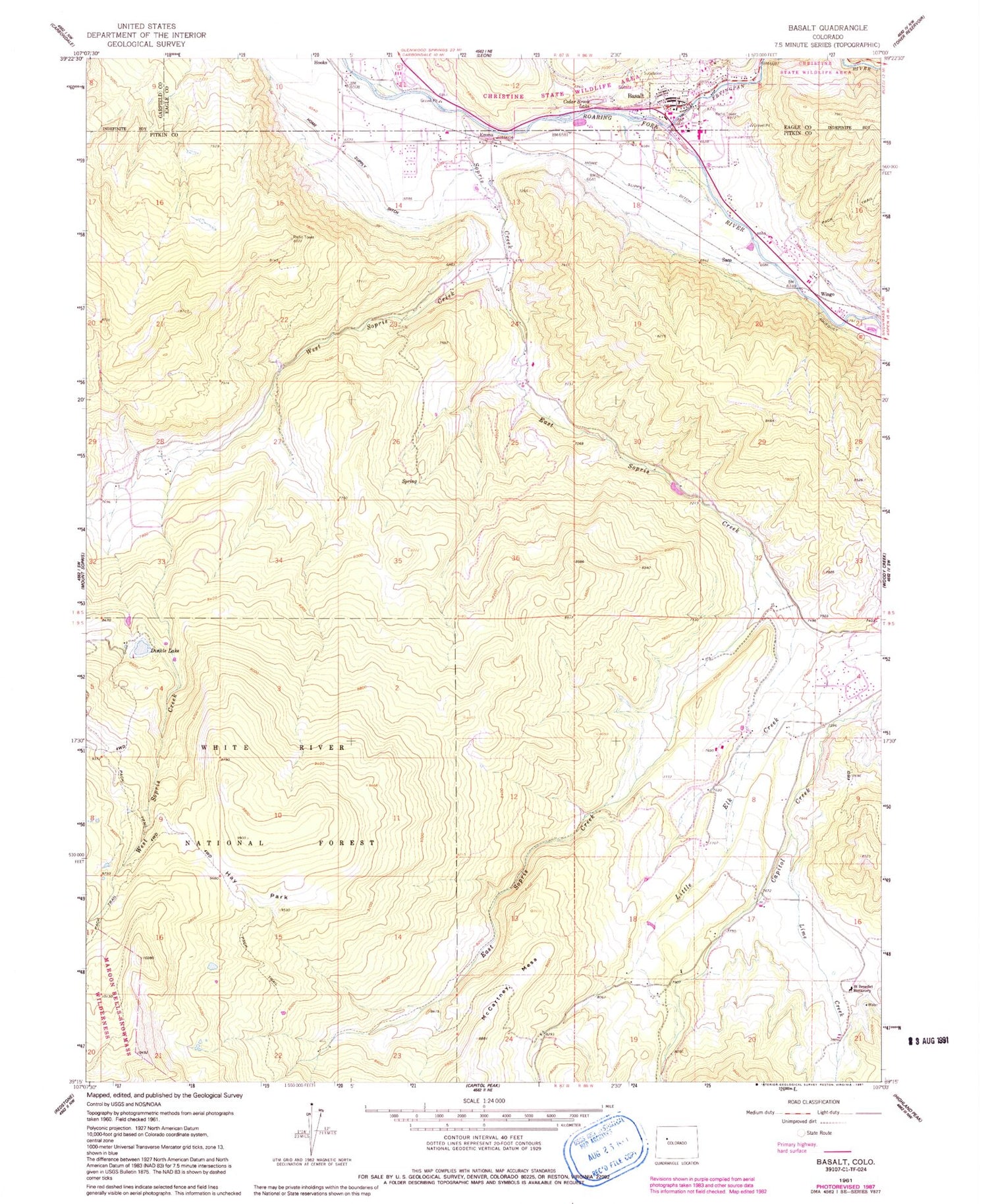
Classic USGS Basalt Colorado 7.5'x7.5' Topo Map
Couldn't load pickup availability
Historical USGS topographic quad map of Basalt in the state of Colorado. Typical map scale is 1:24,000, but may vary for certain years, if available. Print size: 24" x 27"
This quadrangle is in the following counties: Eagle, Garfield, Pitkin.
The map contains contour lines, roads, rivers, towns, and lakes. Printed on high-quality waterproof paper with UV fade-resistant inks, and shipped rolled.
Contains the following named places: Fryingpan River, McCartney Mesa, Hay Park, West Sopris Creek, Lime Creek, Saint Benedict Monastery, Dinkle Lake, East Sopris Creek, Sopris Creek, Hooks, Emma, Wingo, Cedar Brook Lake, Basalt, Basalt Work Center, Saco, Dinkle Lake Day Use Area, Lake Ann Dam, Lake Ann Reservoir, Home Supply Ditch, Homeward Bound Quarry, Bionaz Group Mine, Town of Basalt, Basalt and Rural Fire Protection District Station 41, Fairview Cemetery, Basalt Post Office, Basalt Police Department


