MyTopo
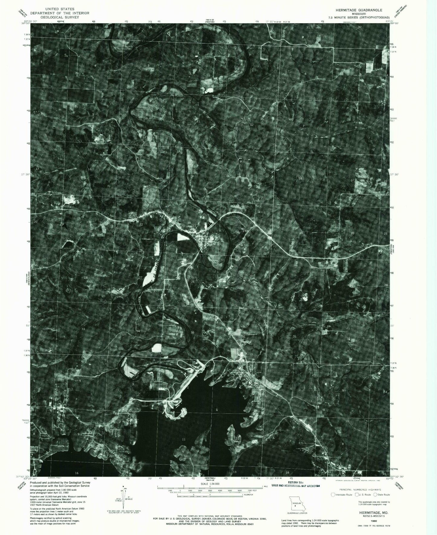
Classic USGS Hermitage Missouri 7.5'x7.5' Topo Map
Couldn't load pickup availability
Historical USGS topographic quad map of Hermitage in the state of Missouri. Map scale may vary for some years, but is generally around 1:24,000. Print size is approximately 24" x 27"
This quadrangle is in the following counties: Hickory.
The map contains contour lines, roads, rivers, towns, and lakes. Printed on high-quality waterproof paper with UV fade-resistant inks, and shipped rolled.
Contains the following named places: Big Hollow, Carsons Corner, Cedar Hollow, City of Hermitage, Clark Branch, Clark Cemetery, Clark School, Crane Creek, Cross Timbers Public Use Area, Dam Site Public Use Area, Dooley Bend, Dooley Bend Cemetery, Dooley Bend School, Dorman Cemetery, Galmey, Galmey Volunteer Fire Department, Green Branch, Hermitage, Hermitage Cemetery, Hermitage Post Office, Hermitage Volunteer Fire Department, Hermitage Volunteer Fire Department Station 2, Hickory County, Hickory County Emergency Management Rescue, Hickory County Sheriff's Office, Hopewell School, Indian Backbone, Indian Point, Jordan Branch, Liberty Cemetery, Lindley Creek, Lost Hill Island, Macedonia Church, Mill Creek, Nemo, Oak Grove Communtiy Hall, Outlet Public Use Area, Peterson Mine, Pleasant Hill Community Hall, Pomme de Terre Dam, Quarry Point Public Use Area, Rough Hollow, Saint Bernadette Church, Short Branch, Swede Branch, Township of Center, Township of Hermitage, Vanderman Branch, Wheatland Public Use Area, Williams Bend, ZIP Code: 65668