MyTopo
Classic USGS Waugh Mountain Colorado 7.5'x7.5' Topo Map
Regular price
$16.95
Regular price
Sale price
$16.95
Unit price
per
Couldn't load pickup availability
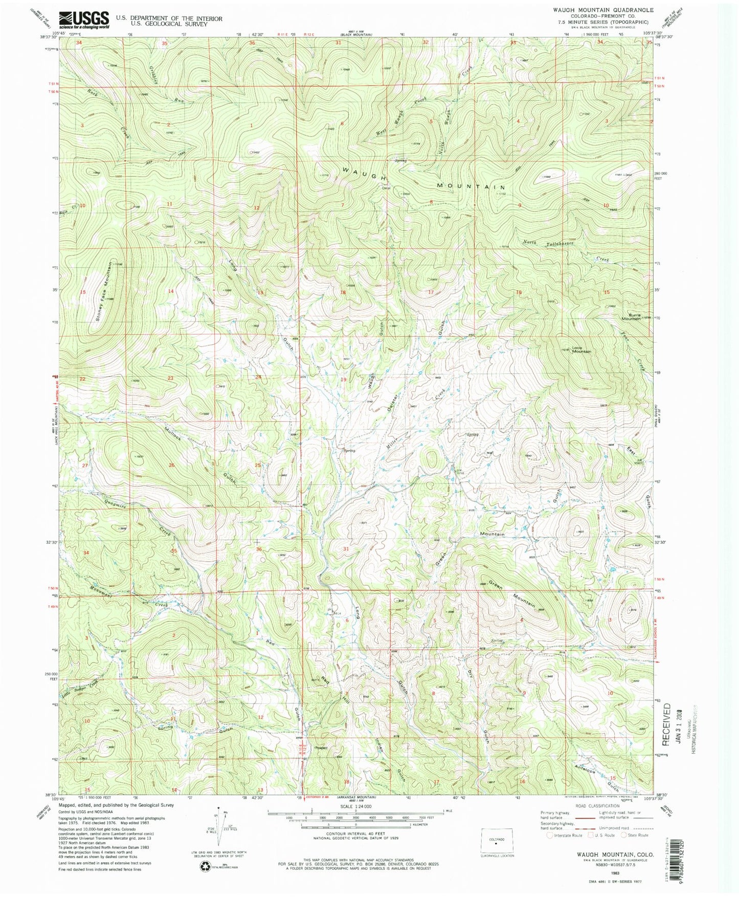
Historical USGS topographic quad map of Waugh Mountain in the state of Colorado. Typical map scale is 1:24,000, but may vary for certain years, if available. Print size: 24" x 27"
This quadrangle is in the following counties: Fremont.
The map contains contour lines, roads, rivers, towns, and lakes. Printed on high-quality waterproof paper with UV fade-resistant inks, and shipped rolled.
Contains the following named places: Waugh Mountain, Stoney Face Mountain, Loco Mountain, Burris Mountain, Green Mountain, Green Mountain Gulch, Miller Creek, Mullock Gulch, Galster Gulch, Waugh Gulch, Spring Gulch, Quagmire Creek, Red Hill, West Waugh Creek, Dry Gulch