MyTopo
Vineyard Haven Massachusetts US Topo Map
Couldn't load pickup availability
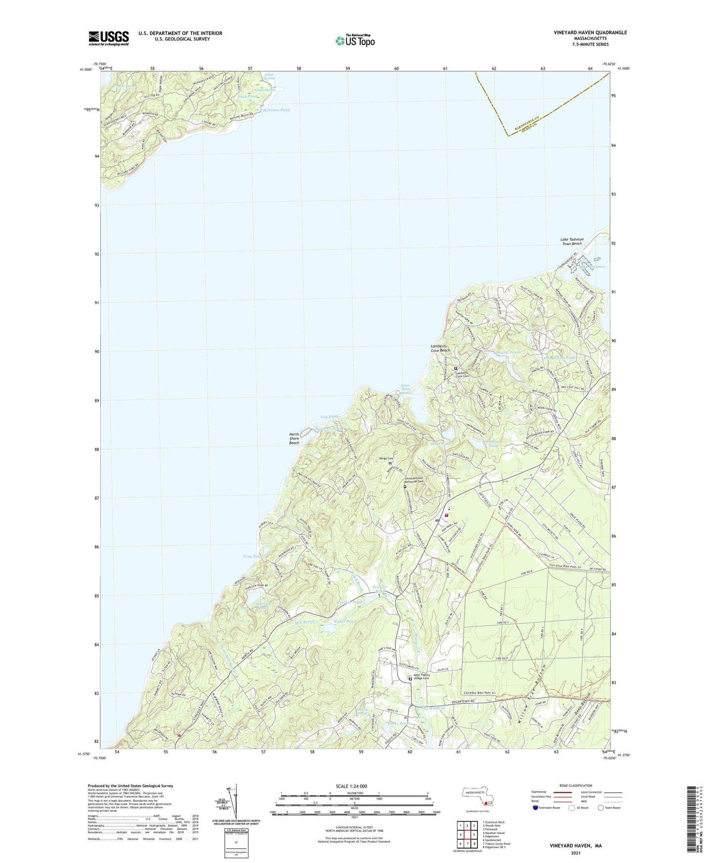
2021 topographic map quadrangle Vineyard Haven in the state of Massachusetts. Scale: 1:24000. Based on the newly updated USGS 7.5' US Topo map series, this map is in the following counties: Dukes, Barnstable. The map contains contour data, water features, and other items you are used to seeing on USGS maps, but also has updated roads and other features. This is the next generation of topographic maps. Printed on high-quality waterproof paper with UV fade-resistant inks.
Quads adjacent to this one:
West: Naushon Island
Northwest: Sconticut Neck
North: Woods Hole
Northeast: Falmouth
East: Edgartown
Southeast: Edgartown OE S
South: Tisbury Great Pond
Southwest: Squibnocket
Contains the following named places: American Youth Hostel, Blackwater Brook, Cape Higgon, Cedar Tree Neck, Cedar Tree Neck Sanctuary, Chilmark Fire Department Station 2, Christian Town, Christiantown Memorial Cemetery, Crane Pond, Crocker Pond, Crocker Pond Dam, Davis Pond, Deep Bottom, Doggetts Pond, Drew Cove, Duarte Ponds, Duck Pond, Dukes County, Eagle Hollow, Fisher Pond, Fisher Pond Dam, Flat Bottom Pond, Goat Rocks, Great Plains, Great Swamp, Grey Pond, Harlock Pond, Hullman Point, Island Christian Church, James Pond, James Pond Marshes, Jobs Neck, Joshua Slocum House, Kuffies Point, Lake Tashmoo, Lake Tashmoo East Jetty Light, Lake Tashmoo Town Beach, Lamberts Cove, Lamberts Cove Beach, Lamberts Cove Cemetery, Lamberts Cove Church, Lily Pond, Longview, Looks Pond, Lucas Shoal, Makonikey, Makonikey Head, Martha's Vineyard Public Charter School Library, Mayhew Chapel, Middle Ground, Mill Brook, Mingo Cemetery, Molasses Pond, Mount Cary, Mount Surat, Mud Creek, Naushon Station, North Shore Beach, North Tisbury, Norton Point, Norton Rock, Old House Pond, Old Millpond, Paint Mill Brook, Paul Point, Pilot Hill, Point Mill Brook, Priester Pond, Rhoda Pond, Seths Pond, South Bluff, Takemmy, Tashmoo Spring, Toikiming, Town of West Tisbury, West Tisbury, West Tisbury Fire Department, West Tisbury Police Department, West Tisbury Post Office, West Tisbury Public Library, West Tisbury Village Cemetery, Whiting Hill, Witch Brook, Witches Glen, ZIP Code: 02575