
MyTopo
Balaton SW Minnesota US Topo Map
Couldn't load pickup availability
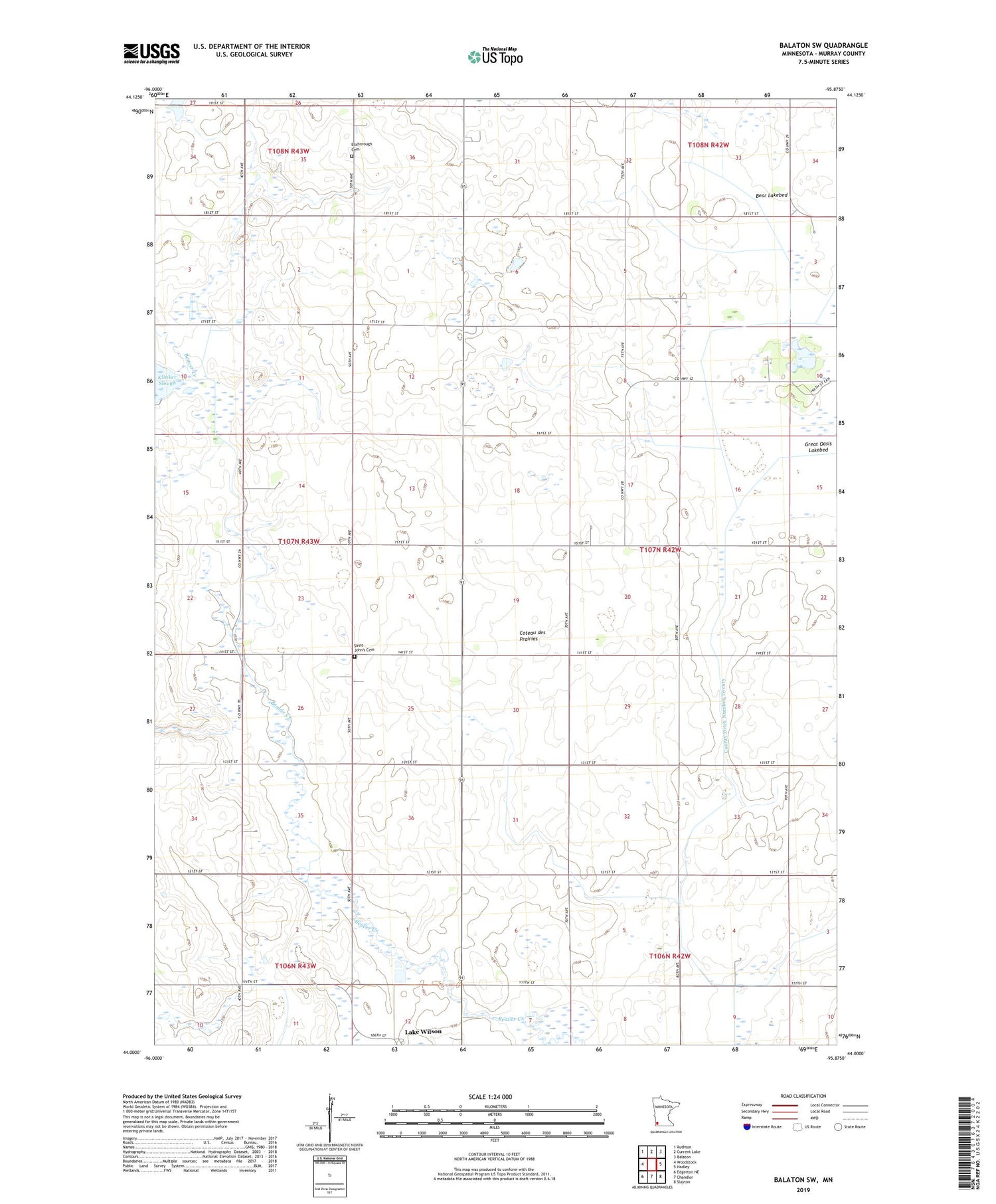
2019 topographic map quadrangle Balaton SW in the state of Minnesota. Scale: 1:24000. Based on the newly updated USGS 7.5' US Topo map series, this map is in the following counties: Murray. The map contains contour data, water features, and other items you are used to seeing on USGS maps, but also has updated roads and other features. This is the next generation of topographic maps. Printed on high-quality waterproof paper with UV fade-resistant inks.
Quads adjacent to this one:
West: Woodstock
Northwest: Ruthton
North: Current Lake
Northeast: Balaton
East: Hadley
Southeast: Slayton
South: Chandler
Southwest: Edgerton NE
Contains the following named places: Bear Lakebed, C and M Farms, County Ditch Number Twenty, Dairyview Airport, Ellsborough Cemetery, Ellsborough Church, Great Oasis Lakebed, Great Oasis State Wildlife Management Area, Hurd Hog Farms, Klinker State Wildlife Management Area, Leeds State Wildlife Management Area, McCord-Laible State Wildlife Management, Miller Farm, Peters State Wildlife Management Area, Saint John's Cemetery, Township of Lowville, Tutt State Wildlife Management Area, ZIP Code: 56151


