MyTopo
Burgen Lake Minnesota US Topo Map
Couldn't load pickup availability
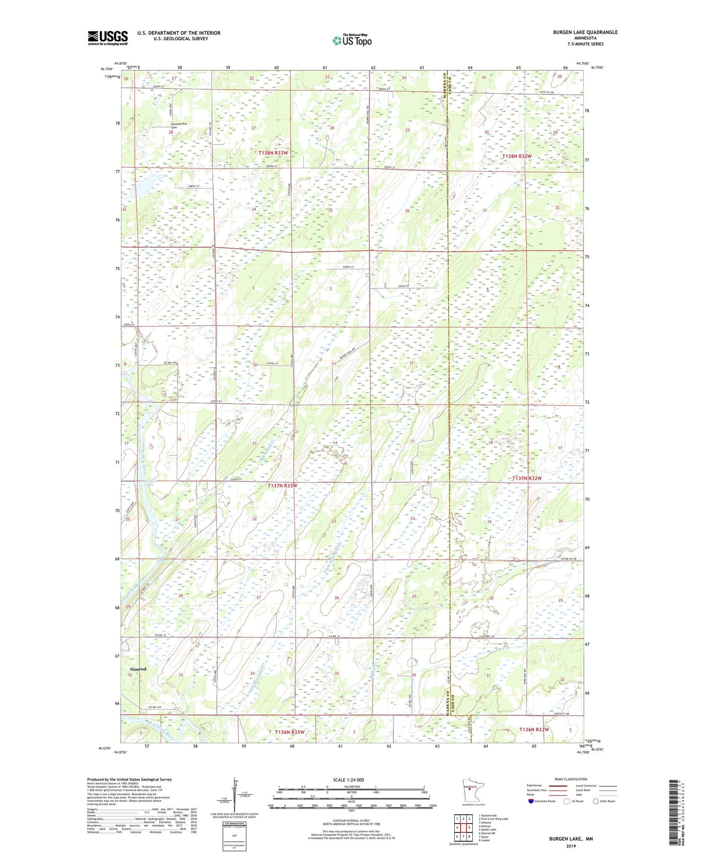
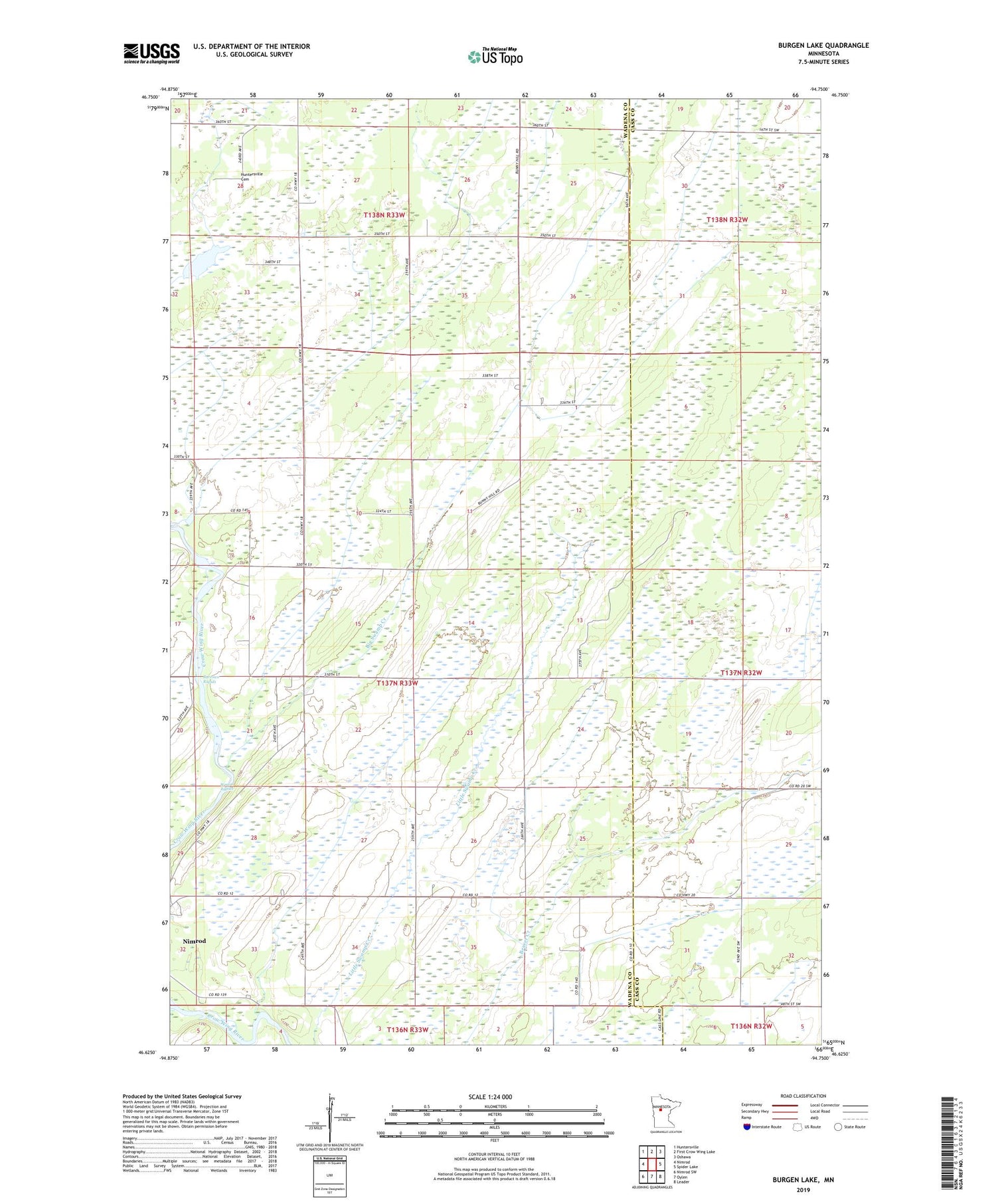
2019 topographic map quadrangle Burgen Lake in the state of Minnesota. Scale: 1:24000. Based on the newly updated USGS 7.5' US Topo map series, this map is in the following counties: Wadena, Cass. The map contains contour data, water features, and other items you are used to seeing on USGS maps, but also has updated roads and other features. This is the next generation of topographic maps. Printed on high-quality waterproof paper with UV fade-resistant inks.
Quads adjacent to this one:
West: Nimrod
Northwest: Huntersville
North: First Crow Wing Lake
Northeast: Oshawa
East: Spider Lake
Southeast: Leader
South: Oylen
Southwest: Nimrod SW
Contains the following named places: Big Swamp Creek, Burgen Lake, Burrows Rapids, Cat River, Crackel Dam, Frames Landing Campground, Huntersville Cemetery, Huntersville State Forest, Sweeney Ford, Township of Orton, Westra Rapids