MyTopo
Charlesville Minnesota US Topo Map
Couldn't load pickup availability
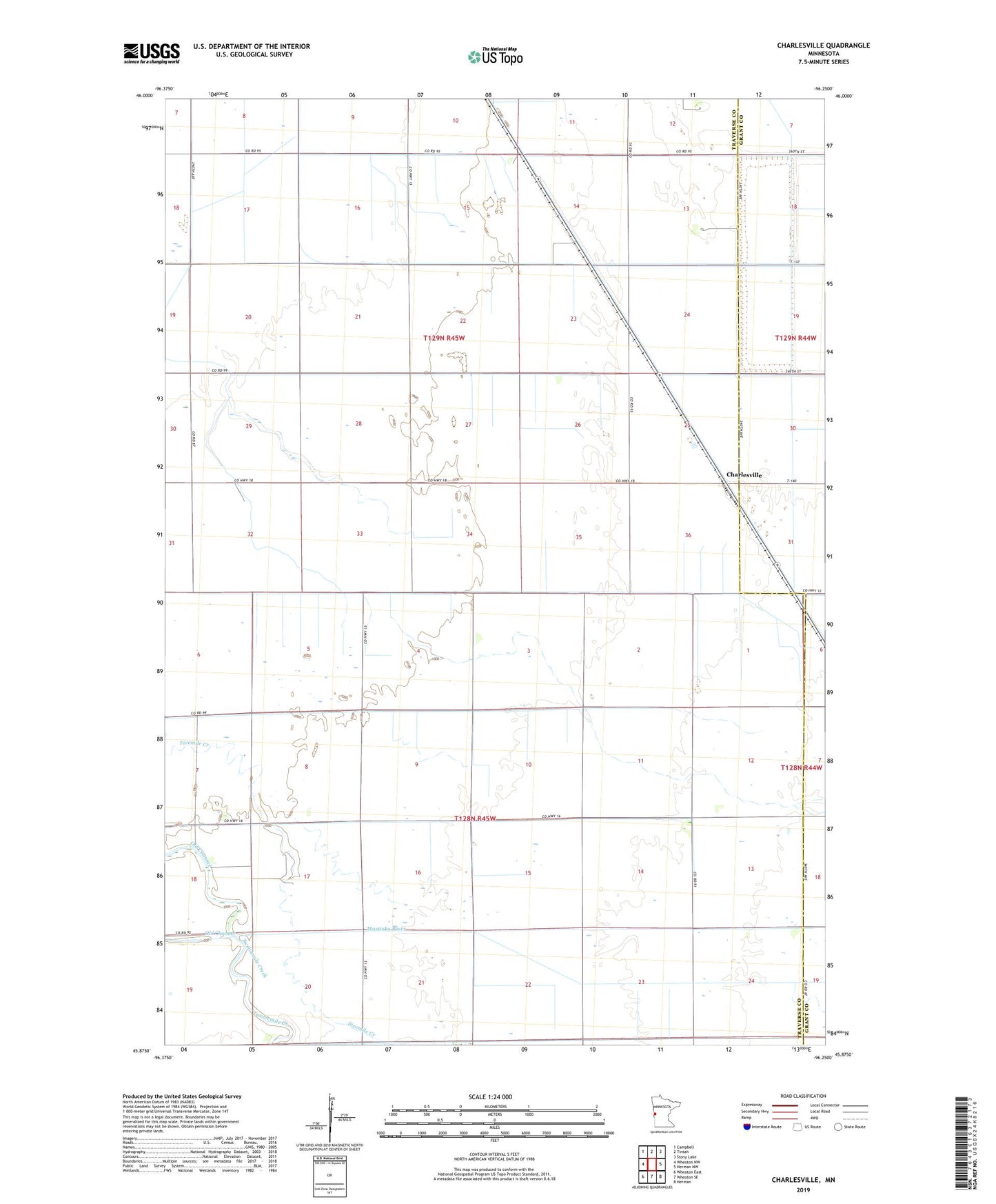
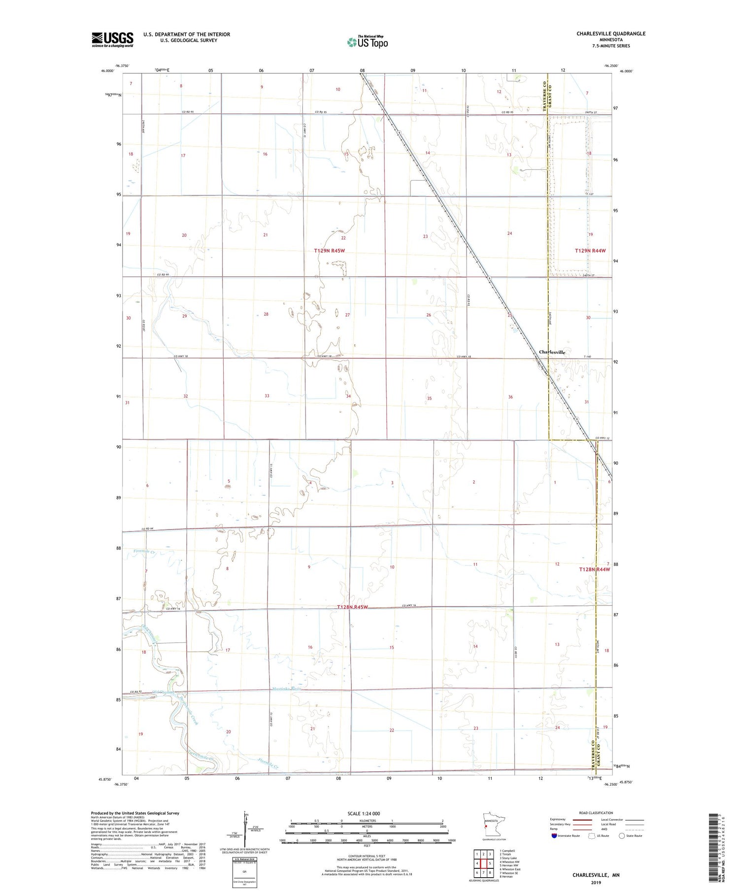
2019 topographic map quadrangle Charlesville in the state of Minnesota. Scale: 1:24000. Based on the newly updated USGS 7.5' US Topo map series, this map is in the following counties: Traverse, Grant. The map contains contour data, water features, and other items you are used to seeing on USGS maps, but also has updated roads and other features. This is the next generation of topographic maps. Printed on high-quality waterproof paper with UV fade-resistant inks.
Quads adjacent to this one:
West: Wheaton NW
Northwest: Campbell
North: Tintah
Northeast: Stony Lake
East: Herman NW
Southeast: Herman
South: Wheaton SE
Southwest: Wheaton East
Contains the following named places: Charlesville, County Ditch Number Eleven, County Ditch Number Fiftythree, County Ditch Number Fortythree, County Ditch Number Nine, County Ditch Number Ten, County Ditch Number Thirtyfive, County Ditch Number Twentyfour, County Ditch Number Twentysix, Judicial Ditch Number Twelve, Judicial Ditch Number Two, Mustinka River Ditch, School Number 14, School Number 41, Township of Redpath, Township of Tintah, Twelvemile Creek