
MyTopo
Huntersville Minnesota US Topo Map
Couldn't load pickup availability
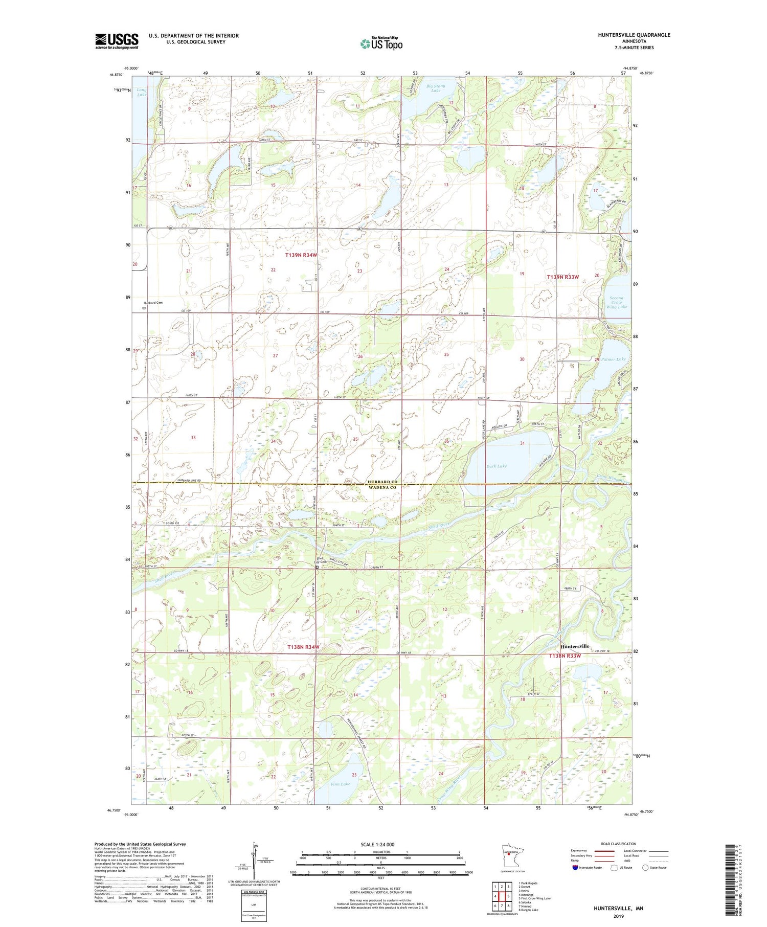
2019 topographic map quadrangle Huntersville in the state of Minnesota. Scale: 1:24000. Based on the newly updated USGS 7.5' US Topo map series, this map is in the following counties: Hubbard, Wadena. The map contains contour data, water features, and other items you are used to seeing on USGS maps, but also has updated roads and other features. This is the next generation of topographic maps. Printed on high-quality waterproof paper with UV fade-resistant inks.
Quads adjacent to this one:
West: Menahga
Northwest: Park Rapids
North: Dorset
Northeast: Nevis
East: First Crow Wing Lake
Southeast: Burgen Lake
South: Nimrod
Southwest: Sebeka
Contains the following named places: Cary Airport, Duck Lake, Finn Lake, Hubbard Cemetery, Huntersville, Huntersville Park, Palmer Lake, Roosevelt Lake, Roosevelt Lake Dam, Shell City Campground, Shell City Cemetery, Shell River, Township of Hubbard, Township of Shell River


