MyTopo
Island Minnesota US Topo Map
Couldn't load pickup availability
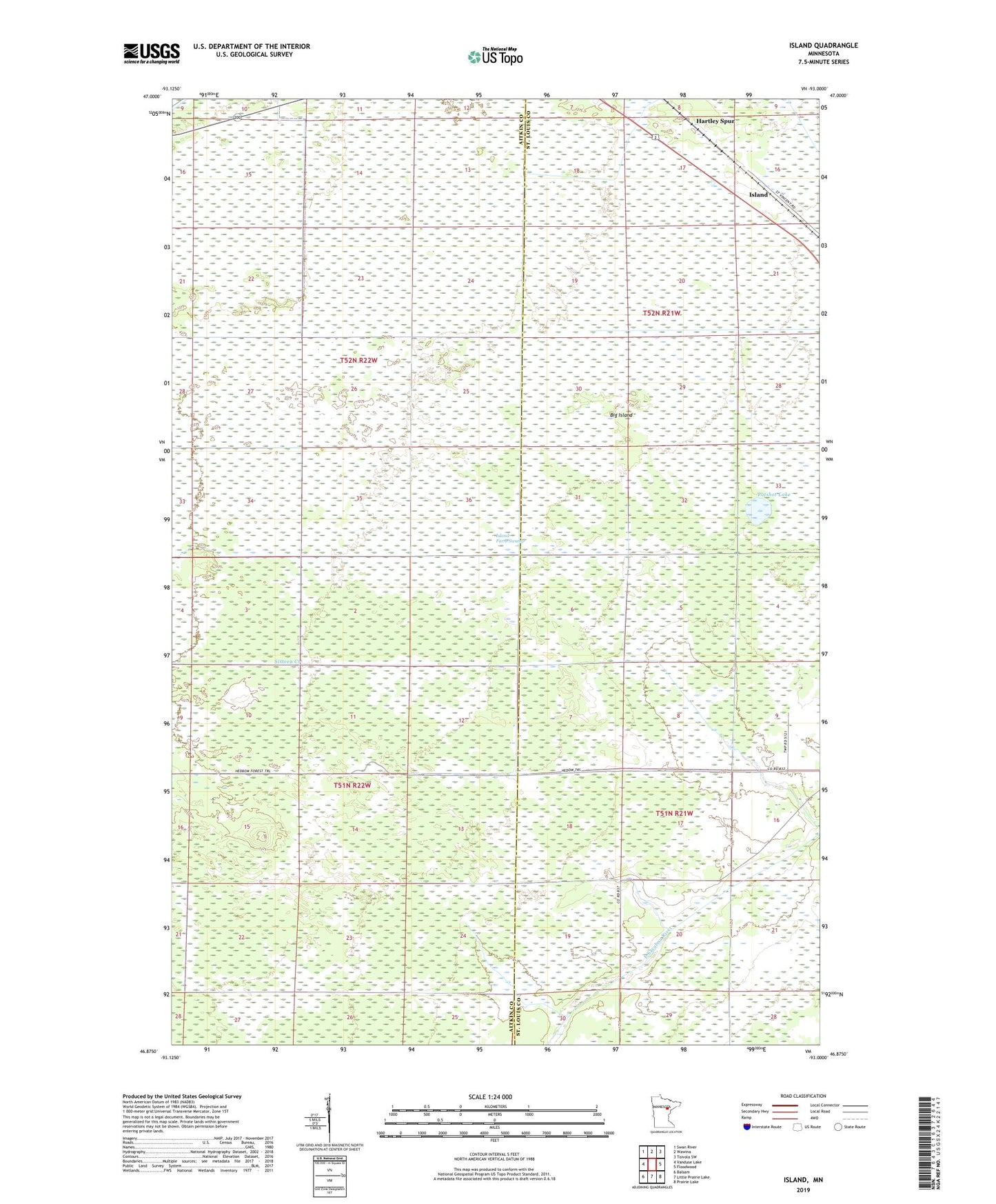
2019 topographic map quadrangle Island in the state of Minnesota. Scale: 1:24000. Based on the newly updated USGS 7.5' US Topo map series, this map is in the following counties: Aitkin, St. Louis. The map contains contour data, water features, and other items you are used to seeing on USGS maps, but also has updated roads and other features. This is the next generation of topographic maps. Printed on high-quality waterproof paper with UV fade-resistant inks.
Quads adjacent to this one:
West: Vanduse Lake
Northwest: Swan River
North: Wawina
Northeast: Toivola SW
East: Floodwood
Southeast: Prairie Lake
South: Little Prairie Lake
Southwest: Balsam
Contains the following named places: Big Island, Hartley Spur, Headboom Logging Trail, Island, Island Farm Swamp, Island Post Office, Island Station, Potshot Lake, Unorganized Territory of Northeast Aitkin