MyTopo
Loman Minnesota US Topo Map
Couldn't load pickup availability
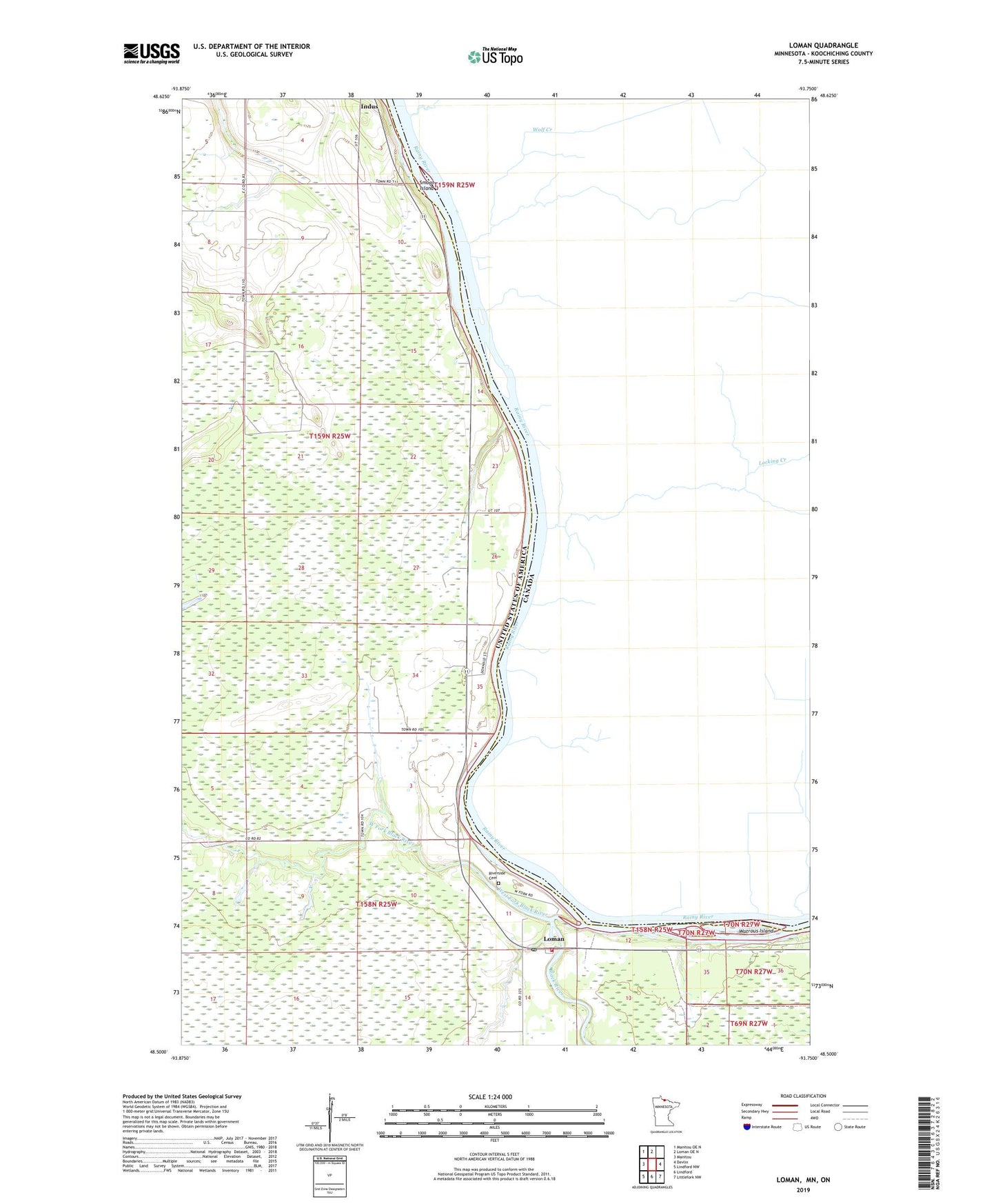
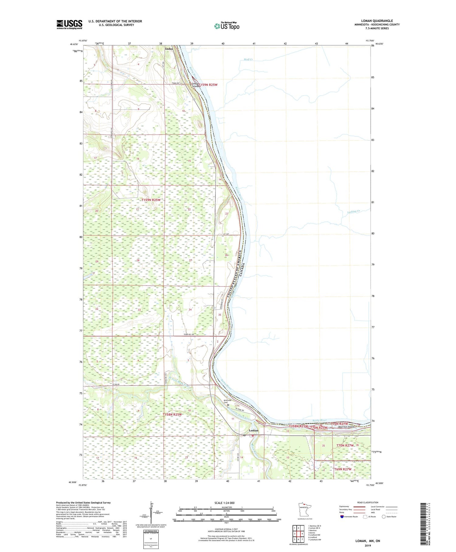
2019 topographic map quadrangle Loman in the state of Minnesota. Scale: 1:24000. Based on the newly updated USGS 7.5' US Topo map series, this map is in the following counties: Koochiching. The map contains contour data, water features, and other items you are used to seeing on USGS maps, but also has updated roads and other features. This is the next generation of topographic maps. Printed on high-quality waterproof paper with UV fade-resistant inks.
Quads adjacent to this one:
West: Manitou
Northwest: Manitou OE N
North: Loman OE N
East: Devlin
Southeast: Littlefork NW
South: Lindford
Southwest: Lindford NW
Contains the following named places: Black River, KBHW-FM (International Falls), Lamon Lookout Tower, Loman, Loman Police Department, Loman Post Office, Loman Rural Fire Department, Loman School, Loman Station, Lomen Wayside Park, Riverside Cemetery, Smoot Island, Watrous Island, West Fork Black River