MyTopo
Medford West Minnesota US Topo Map
Couldn't load pickup availability
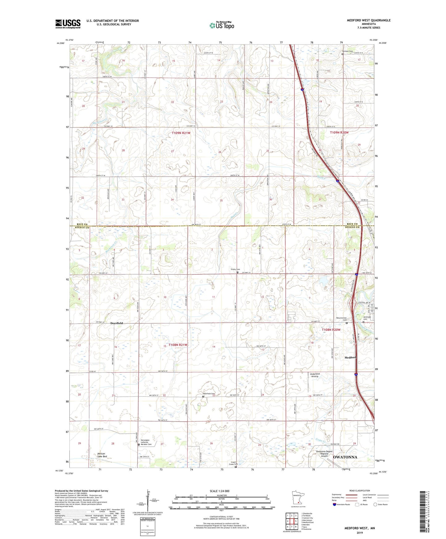
2019 topographic map quadrangle Medford West in the state of Minnesota. Scale: 1:24000. Based on the newly updated USGS 7.5' US Topo map series, this map is in the following counties: Steele, Rice. The map contains contour data, water features, and other items you are used to seeing on USGS maps, but also has updated roads and other features. This is the next generation of topographic maps. Printed on high-quality waterproof paper with UV fade-resistant inks.
Quads adjacent to this one:
West: Morristown
Northwest: Shieldsville
North: Faribault
Northeast: Cannon City
East: Medford East
Southeast: Owatonna
South: Saco
Southwest: Meriden
Contains the following named places: Crane Creek Cemetery, Deerfield, Deerfield Cemetery, Deerfield Post Office, Denison Cemetery, Grandview State Institution, Harkins School, Judicial Ditch Number Six, Lazy U Mobile Home Park, Malone School, Medford Outlet Mall, Norwegian Lutheran Meraker Cemetery, Pelican Lake Bed, Resurrection Cemetery, Riverside Cemetery, Sammon School, Township of Deerfield, Township of Warsaw, Trinity Cemetery, Underland Airstrip, Voegele School