MyTopo
Oak Island Minnesota US Topo Map
Couldn't load pickup availability
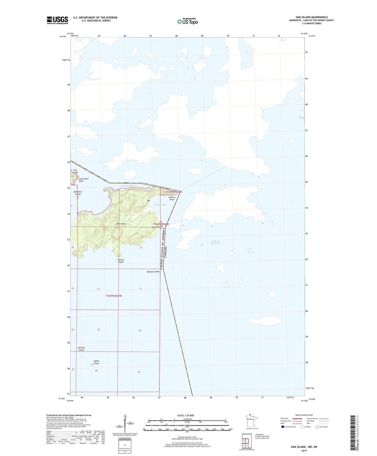
2019 topographic map quadrangle Oak Island in the state of Minnesota. Scale: 1:24000. Based on the newly updated USGS 7.5' US Topo map series, this map is in the following counties: Lake of the Woods. The map contains contour data, water features, and other items you are used to seeing on USGS maps, but also has updated roads and other features. This is the next generation of topographic maps. Printed on high-quality waterproof paper with UV fade-resistant inks.
Quads adjacent to this one:
West: Flag Island
South: Garden Island East
Southwest: Garden Island West
Contains the following named places: Blackbird Island, Bobbies Bay, Butterfield Harbor, Cases Point, Dawson Island, Flag Island Point, Marian Island, Oak Island, Oak Island Post Office, O'Dell Island, Soldiers Point, Sturgeon Channel, Techout Island, ZIP Code: 56741