MyTopo
Rosendale Minnesota US Topo Map
Couldn't load pickup availability
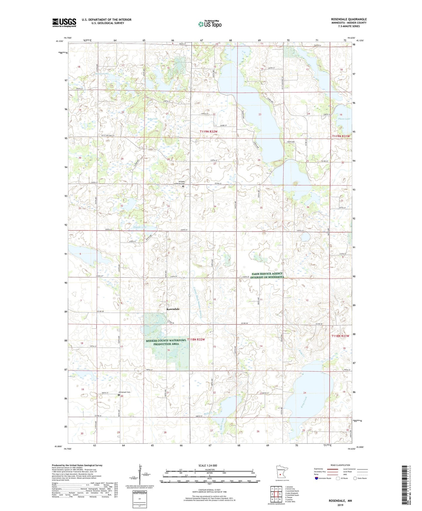
2019 topographic map quadrangle Rosendale in the state of Minnesota. Scale: 1:24000. Based on the newly updated USGS 7.5' US Topo map series, this map is in the following counties: Meeker. The map contains contour data, water features, and other items you are used to seeing on USGS maps, but also has updated roads and other features. This is the next generation of topographic maps. Printed on high-quality waterproof paper with UV fade-resistant inks.
Quads adjacent to this one:
West: Lake Elizabeth
Northwest: Atwater
North: Grove City
Northeast: Litchfield North
East: Litchfield South
Southeast: Cedar Mills
South: Cosmos
Southwest: Thorpe
Contains the following named places: Acton, Acton Incident Historical Monument, Acton Post Office, Acton State Monument, Acton State Wildlife Management Area, Arndahl Church, Arndahl Lutheran Cemetery, Belle Lake, County Ditch Number Sixteen, County Ditch Number Twentysix, Daxton Lake, Grass Lake, Hope Lake, Immanuel Cemetery, Immanuel Church, Kelley Lake, King Lake, Long Lake, Popple Lake, Popular State Wildlife Management Area, Rosendale, Rosendale Post Office, Sather Lake, Thoen Lake, Township of Acton, Township of Danielson, Wieker State Wildlife Management Area