MyTopo
Starbuck Minnesota US Topo Map
Couldn't load pickup availability
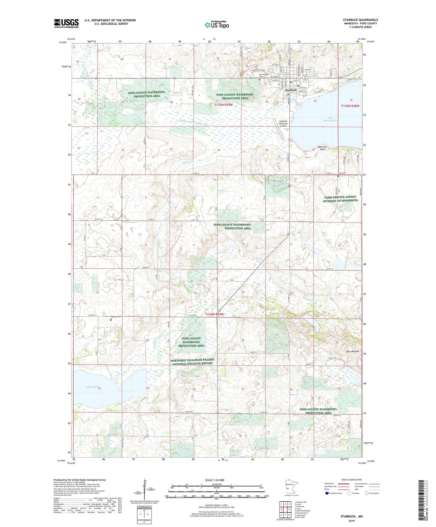
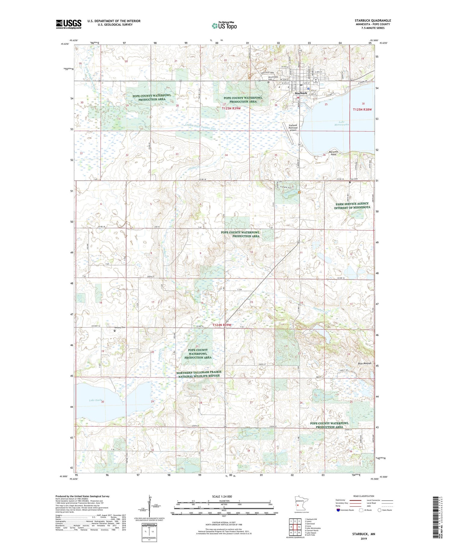
2019 topographic map quadrangle Starbuck in the state of Minnesota. Scale: 1:24000. Based on the newly updated USGS 7.5' US Topo map series, this map is in the following counties: Pope. The map contains contour data, water features, and other items you are used to seeing on USGS maps, but also has updated roads and other features. This is the next generation of topographic maps. Printed on high-quality waterproof paper with UV fade-resistant inks.
Quads adjacent to this one:
West: Cyrus
Northwest: Starbuck NW
North: Lowry
Northeast: Glenwood
East: Lake Minnewaska
Southeast: Swift Falls
South: Lake Hassel
Southwest: Clontarf North
Contains the following named places: Barsness Point, Bethany Cemetery, Bethany Church, City of Starbuck, County Ditch Number Two, Fron Cemetery, Fron Lutheran Church, Glacial Lakes State Park, Hobo Park, Hobo Park Campground, Holly Skogen, Lakeshore Park, Minnesaska Lutheran Church, Minnewaska Cemetery, Minnewaska District Hospital, Minnewaska Lutheran Home, Outlet Creek, Signalness Creek, Signalness Lake, Starbuck, Starbuck Clinic, Starbuck Depot, Starbuck Elementary School, Starbuck Fire Department, Starbuck Municipal Airport, Starbuck Police Department, Starbuck Post Office, Township of Blue Mounds, ZIP Code: 56381