MyTopo
Ship Island Mississippi US Topo Map
Couldn't load pickup availability
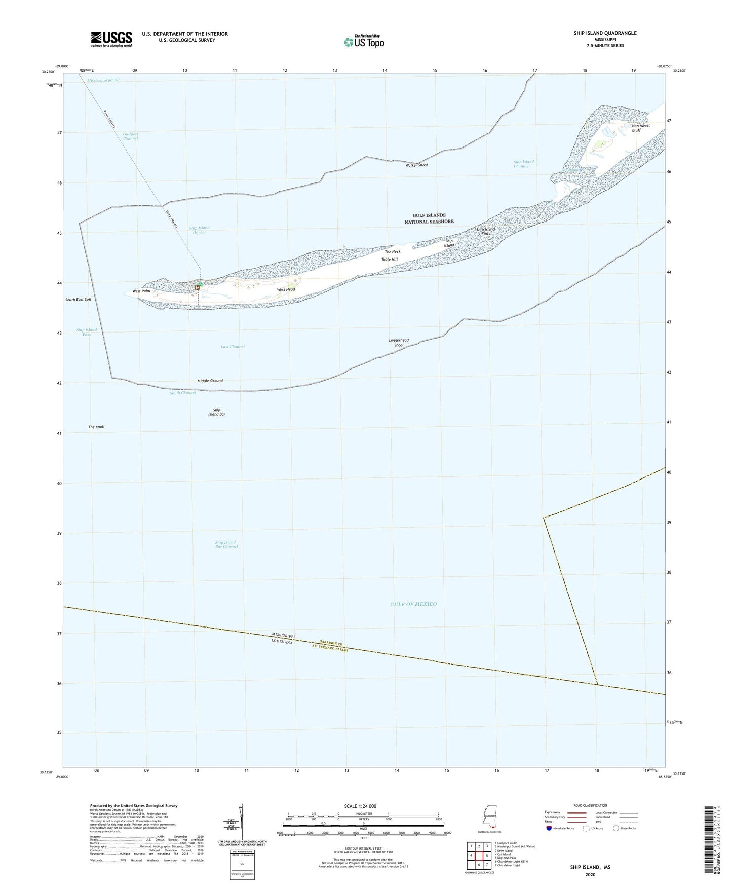
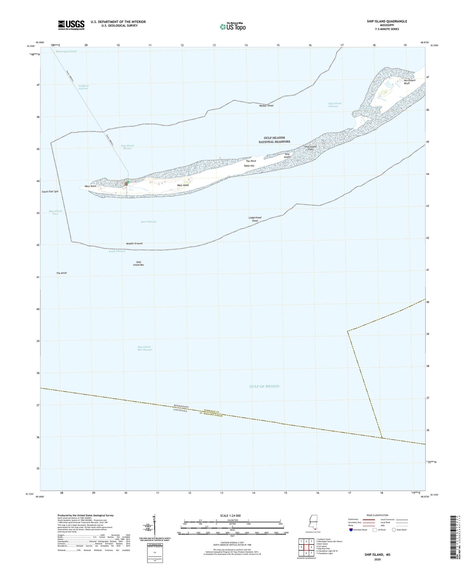
2020 topographic map quadrangle Ship Island in the state of Mississippi. Scale: 1:24000. Based on the newly updated USGS 7.5' US Topo map series, this map is in the following counties: Harrison. The map contains contour data, water features, and other items you are used to seeing on USGS maps, but also has updated roads and other features. This is the next generation of topographic maps. Printed on high-quality waterproof paper with UV fade-resistant inks.
Quads adjacent to this one:
West: Cat Island
Northwest: Gulfport South
Northeast: Deer Island
East: Dog Keys Pass
Southeast: Chandeleur Light
South: Chandeleur Light OE W
Contains the following named places: East Channel, Gulf Island National Seashore, Loggerhead Shoal, Middle Ground, Northwest Bluff, Old Fort Massachusetts, Ship Island, Ship Island Bar, Ship Island Bar Channel, Ship Island Channel, Ship Island Flats, Ship Island Harbor, Ship Island Lighthouse, Ship Island Pass, South Channel, Table Hill, The Knoll, The Lagoon, The Neck, Walker Shoal, West Head, West Point