MyTopo
Coatsville Missouri US Topo Map
Couldn't load pickup availability
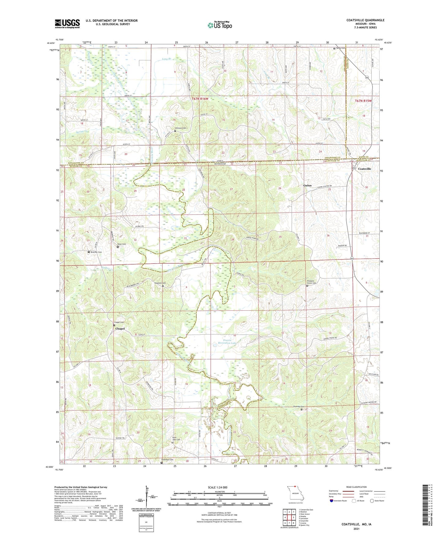
2021 topographic map quadrangle Coatsville in the states of Missouri, Iowa. Scale: 1:24000. Based on the newly updated USGS 7.5' US Topo map series, this map is in the following counties: Schuyler, Putnam, Appanoose, Davis. The map contains contour data, water features, and other items you are used to seeing on USGS maps, but also has updated roads and other features. This is the next generation of topographic maps. Printed on high-quality waterproof paper with UV fade-resistant inks.
Quads adjacent to this one:
West: Omaha
Northwest: Centerville East
North: Moulton
Northeast: West Grove
East: Lancaster
Southeast: Queen City
South: Livonia
Southwest: Graysville
Contains the following named places: Beatty School, Bratcher Cemetery, Chapel, Chapel Cemetery, Coal City, Coal City Post Office, Coatsville, Coatsville School, Dean Cemetery, Franklin School, Guinn, Hargrave Cemetery, Hilltown Cemetery, Hilltown Church, Hinerman Cemetery, Kemigala, Kemigala Post Office, Kerby Cemetery, Long Branch, Montgomery School, Northeast Missouri Planning Region, Number 522 Dam, Packard Creek, Pleasant Grove Cemetery, Prairie Lake Dam, Prairie Recreation Lake, Saint John Cemetery, Shumate Cemetery, Spring Creek, Township of Chariton, Township of Grant, Turkey Creek, Watkins School, Well's Mills Post Office, ZIP Codes: 63535, 63541, 63551