MyTopo
Decaturville Missouri US Topo Map
Couldn't load pickup availability
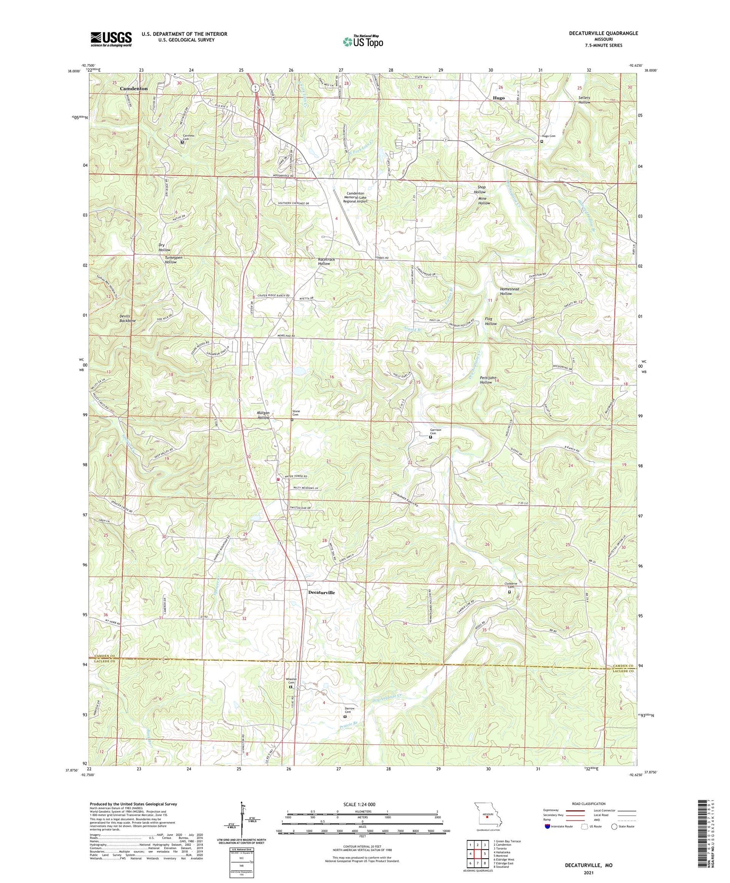
2021 topographic map quadrangle Decaturville in the state of Missouri. Scale: 1:24000. Based on the newly updated USGS 7.5' US Topo map series, this map is in the following counties: Camden, Laclede. The map contains contour data, water features, and other items you are used to seeing on USGS maps, but also has updated roads and other features. This is the next generation of topographic maps. Printed on high-quality waterproof paper with UV fade-resistant inks.
Quads adjacent to this one:
West: Hahatonka
Northwest: Green Bay Terrace
North: Camdenton
Northeast: Toronto
East: Montreal
Southeast: Stoutland
South: Eldridge East
Southwest: Eldridge West
Contains the following named places: Arnold Branch, Camdenton Memorial-Lake Regional Airport, Caviness Cemetery, Claiborne Cemetery, Darrow Cemetery, Decaturville, Devils Backbone, Flag Hollow, Forbes Branch, Ganter State Public Hunting Area, Garrison Cemetery, Homestead Hollow, Hugo, Hugo Cemetery, Lone Star School, Mid - County Fire Protection District Station 5, Mine Hollow, Mount Horeb Church, Myetta Church, Pettijohn Hollow, Prairie Branch, Sellers Hollow, Shop Hollow, Southside Church, Stone Cemetery, Township of Warren, Union Church, Union School, Watered Hollow Branch, Wheeler Cemetery, ZIP Code: 65591