MyTopo
Franklin Missouri US Topo Map
Couldn't load pickup availability
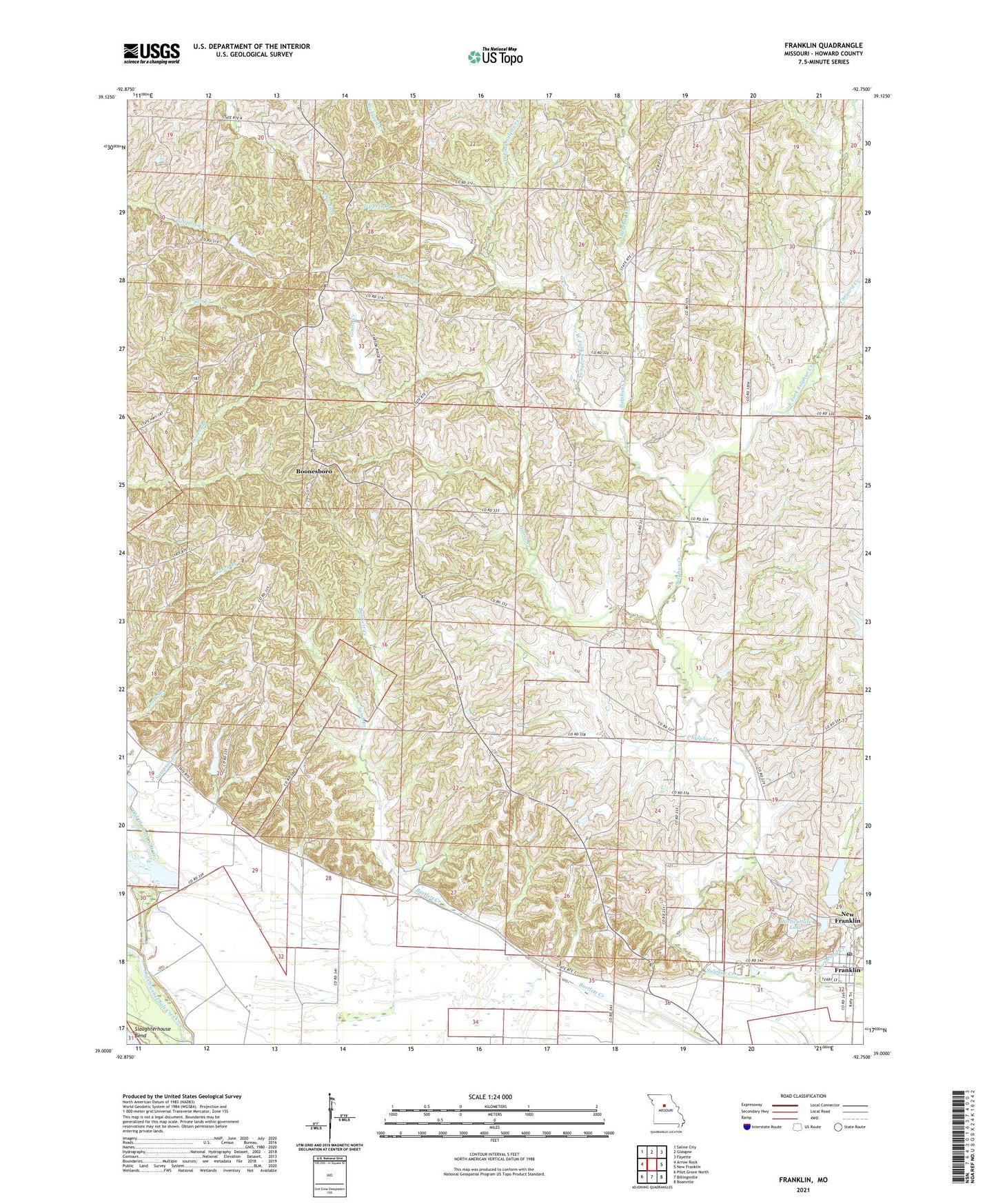
2021 topographic map quadrangle Franklin in the state of Missouri. Scale: 1:24000. Based on the newly updated USGS 7.5' US Topo map series, this map is in the following counties: Howard. The map contains contour data, water features, and other items you are used to seeing on USGS maps, but also has updated roads and other features. This is the next generation of topographic maps. Printed on high-quality waterproof paper with UV fade-resistant inks.
Quads adjacent to this one:
West: Arrow Rock
Northwest: Saline City
North: Glasgow
Northeast: Fayette
East: New Franklin
Southeast: Boonville
South: Billingsville
Southwest: Pilot Grove North
Contains the following named places: Ashland School, Blankenbaker School, Boonesboro, Boonsboro School, Burton School, Carson Branch, Church of God, City of Franklin, Clarks Chapel, Clarks Chapel School, Cottonwood Creek, East Fork Sulphur Creek, Fairview School, Farmers Hill School, Franklin, Franklin Post Office, Goose Creek, Horticulture Lake, Lippold Lake Dam, M K T Lake, Missouri Department of Conservation Forestry Central Regional Field Fire Office New Franklin, New Horticulture Farm Dam, Okaydy Reservoir Dam, Sampson Branch, Sand Branch, Tanyard Creek, Tippett Branch, Township of Boonslick, West Fork Sulphur Creek, ZIP Code: 65250