MyTopo
Lesterville SE Missouri US Topo Map
Couldn't load pickup availability
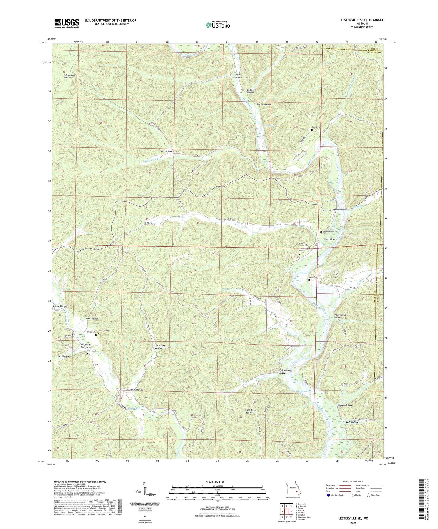
2021 topographic map quadrangle Lesterville SE in the state of Missouri. Scale: 1:24000. Based on the newly updated USGS 7.5' US Topo map series, this map is in the following counties: Reynolds, Iron. The map contains contour data, water features, and other items you are used to seeing on USGS maps, but also has updated roads and other features. This is the next generation of topographic maps. Printed on high-quality waterproof paper with UV fade-resistant inks.
Quads adjacent to this one:
West: Redford
Northwest: Centerville
North: Lesterville
Northeast: Glover
East: Des Arc
Southeast: Piedmont
South: Clearwater Dam
Southwest: Ellington
Contains the following named places: Baker Pond, Bear Branch, Bolch Hollow, Boyd Hollow, Brawley Hollow, Carpenter Cemetery, Carpenter Hollow, Cave Spring, Champion Spring Branch, Colyotte Hollow, Dafron Hollow, Funk Branch, Funk Branch Wilderness Camping Site, Goose Creek, Gulliams Cemetery, Hackworth Hollow, Hampton Cemetery, Highway K Public Use Area, Hyatts Creek, James Wesley Lewis Cemetery, Leonards Lake, Low Hollow, Mann Cemetery, Martha, Martha Post Office, Mayberry Branch, Mayberry School, Pyles Hollow, Pyrtle Hollow, Raucom School, Rutter Cemetery, Shed School, Sycamore Hollow, Well Hollow, Wet Hollow, Whizenhunt Bay, Whizenhunt Hollow, ZIP Code: 63665