MyTopo
Prairie Home Missouri US Topo Map
Couldn't load pickup availability
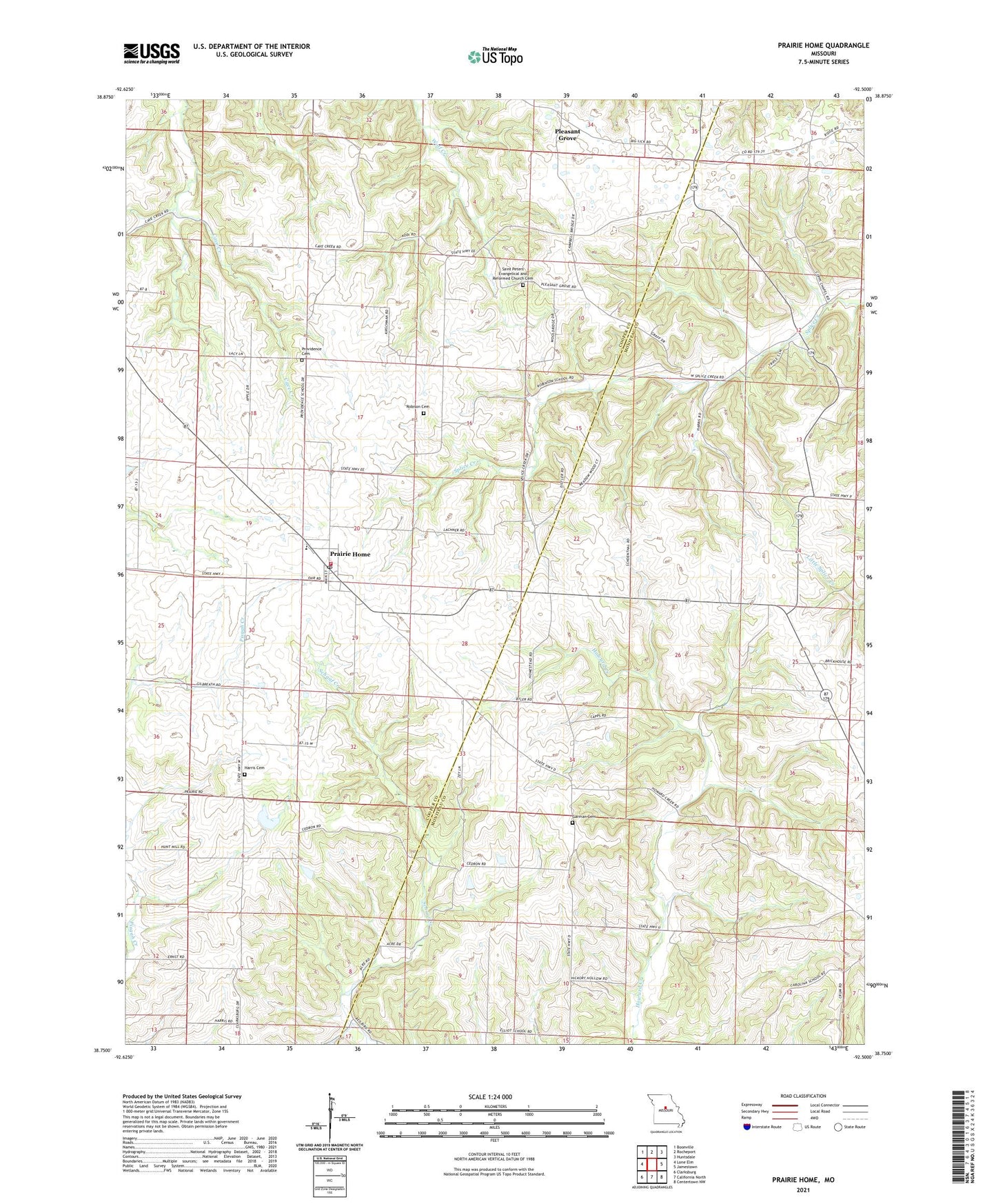
2021 topographic map quadrangle Prairie Home in the state of Missouri. Scale: 1:24000. Based on the newly updated USGS 7.5' US Topo map series, this map is in the following counties: Cooper, Moniteau. The map contains contour data, water features, and other items you are used to seeing on USGS maps, but also has updated roads and other features. This is the next generation of topographic maps. Printed on high-quality waterproof paper with UV fade-resistant inks.
Quads adjacent to this one:
West: Lone Elm
Northwest: Boonville
North: Rocheport
Northeast: Huntsdale
East: Jamestown
Southeast: Centertown NW
South: California North
Southwest: Clarksburg
Contains the following named places: Carlos School, Cedron, Cedron School, City of Prairie Home, Elliott School, Felder School, Garman Cemetery, Harris Cemetery, Hickory Flat School, KMIZ-TV (Columbia), North Carolina School, Pleasant Grove, Prairie Home, Prairie Home Elementary School, Prairie Home High School, Prairie Home Post Office, Prairie Home Rural Fire Station, Prairie Home State Wildlife Area, Providence Cemetery, Providence School, Renfro, Robison Cemetery, Robison School, Saint Peters Church, Splice Creek Church, Splice Creek School, Township of Prairie Home, Union Church, ZIP Code: 65068