MyTopo
Round Butte Montana US Topo Map
Couldn't load pickup availability
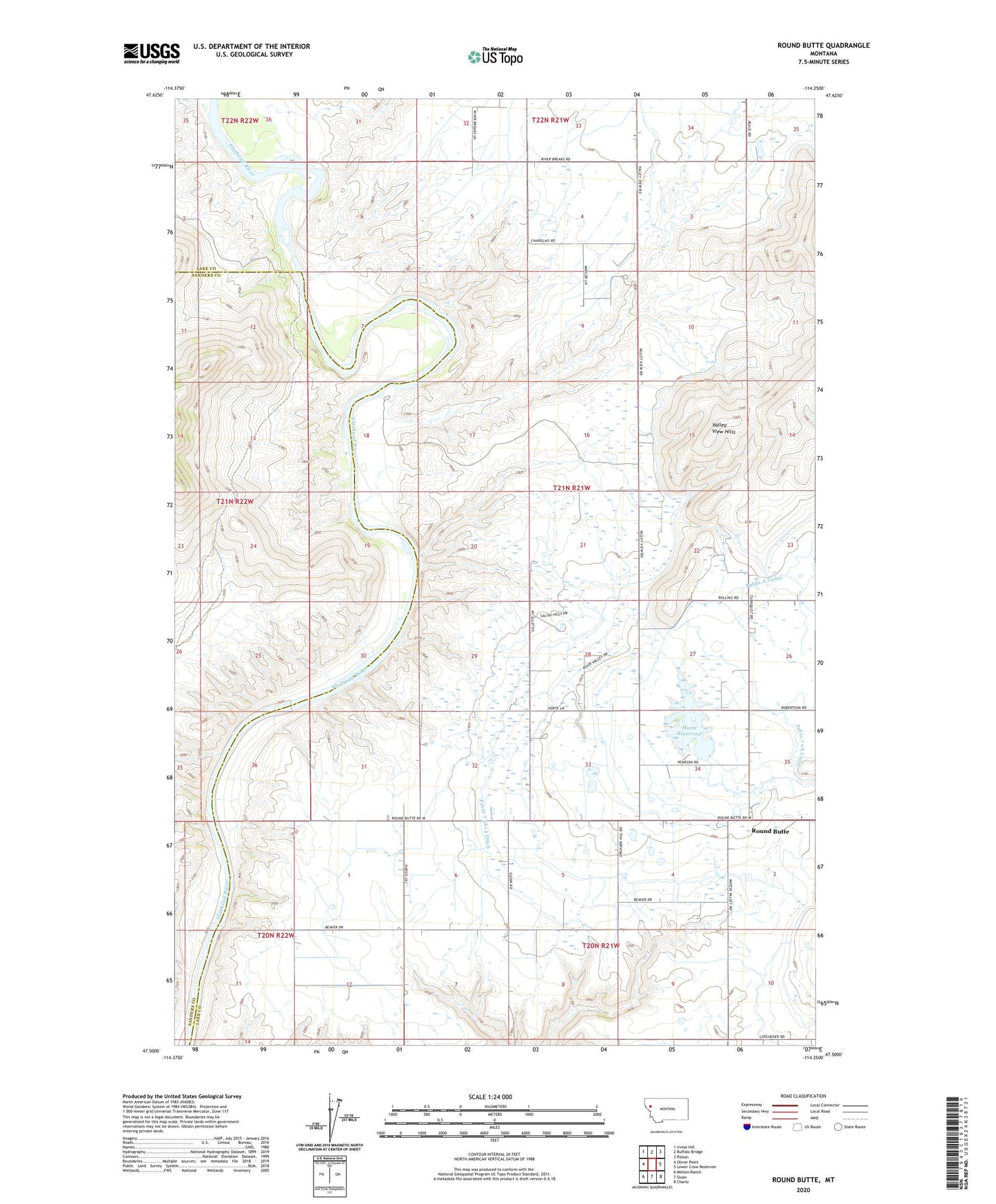
2020 topographic map quadrangle Round Butte in the state of Montana. Scale: 1:24000. Based on the newly updated USGS 7.5' US Topo map series, this map is in the following counties: Lake, Sanders. The map contains contour data, water features, and other items you are used to seeing on USGS maps, but also has updated roads and other features. This is the next generation of topographic maps. Printed on high-quality waterproof paper with UV fade-resistant inks.
Quads adjacent to this one:
West: Oliver Point
Northwest: Irvine Hill
North: Buffalo Bridge
Northeast: Polson
East: Lower Crow Reservoir
Southeast: Charlo
South: Sloan
Southwest: Melton Ranch
Contains the following named places: 20N21W10BCB_01 Well, 20N21W36CCD_01 Well, 21N21W05BAAA01 Well, 21N21W09AAB_01 Well, 21N21W15CBB_01 Well, 21N21W22DCC_01 Well, 21N21W26BBA_01 Well, 21N21W35CCC_01 Well, 21N22W36BDCC01 Well, 21N22W36BDCC02 Well, 24N21W30CABB01 Well, Flathead Reservation, Horte Dam, Horte Reservoir, Pablo 73A14 Ditch, Pablo 73A4 Ditch, Pablo 73A5 Ditch, Round Butte, Round Butte Methodist Church, Round Butte Post Office, Round Butte School