MyTopo
Hackberry Creek Nebraska US Topo Map
Couldn't load pickup availability
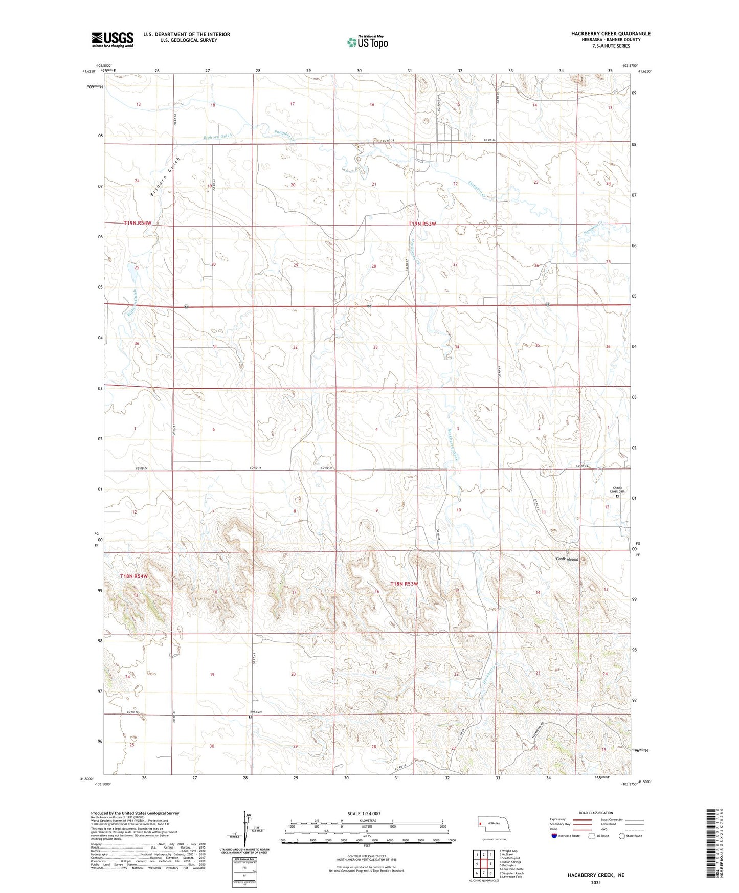
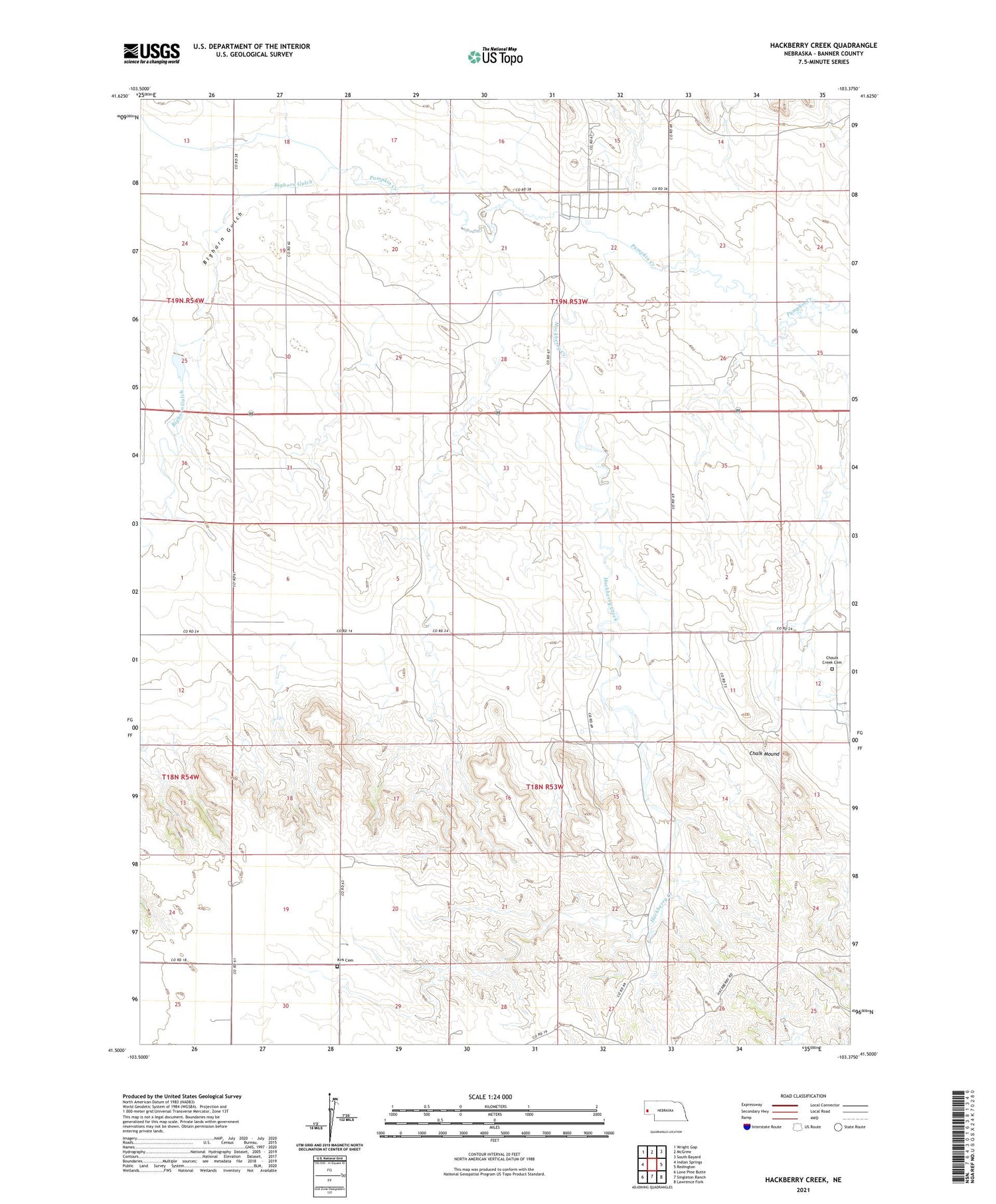
2021 topographic map quadrangle Hackberry Creek in the state of Nebraska. Scale: 1:24000. Based on the newly updated USGS 7.5' US Topo map series, this map is in the following counties: Banner. The map contains contour data, water features, and other items you are used to seeing on USGS maps, but also has updated roads and other features. This is the next generation of topographic maps. Printed on high-quality waterproof paper with UV fade-resistant inks.
Quads adjacent to this one:
West: Indian Springs
Northwest: Wright Gap
North: McGrew
Northeast: South Bayard
East: Redington
Southeast: Lawrence Fork
South: Singleton Ranch
Southwest: Lone Pine Butte
Contains the following named places: Bighorn Gulch, Chalk Mound, Chaulk Creek Cemetery, Darnall Feedlot, Hackberry Creek, Kirk Cemetery, Muhr Dam, Muhr Reservoir