
MyTopo
Max NE Nebraska US Topo Map
Couldn't load pickup availability
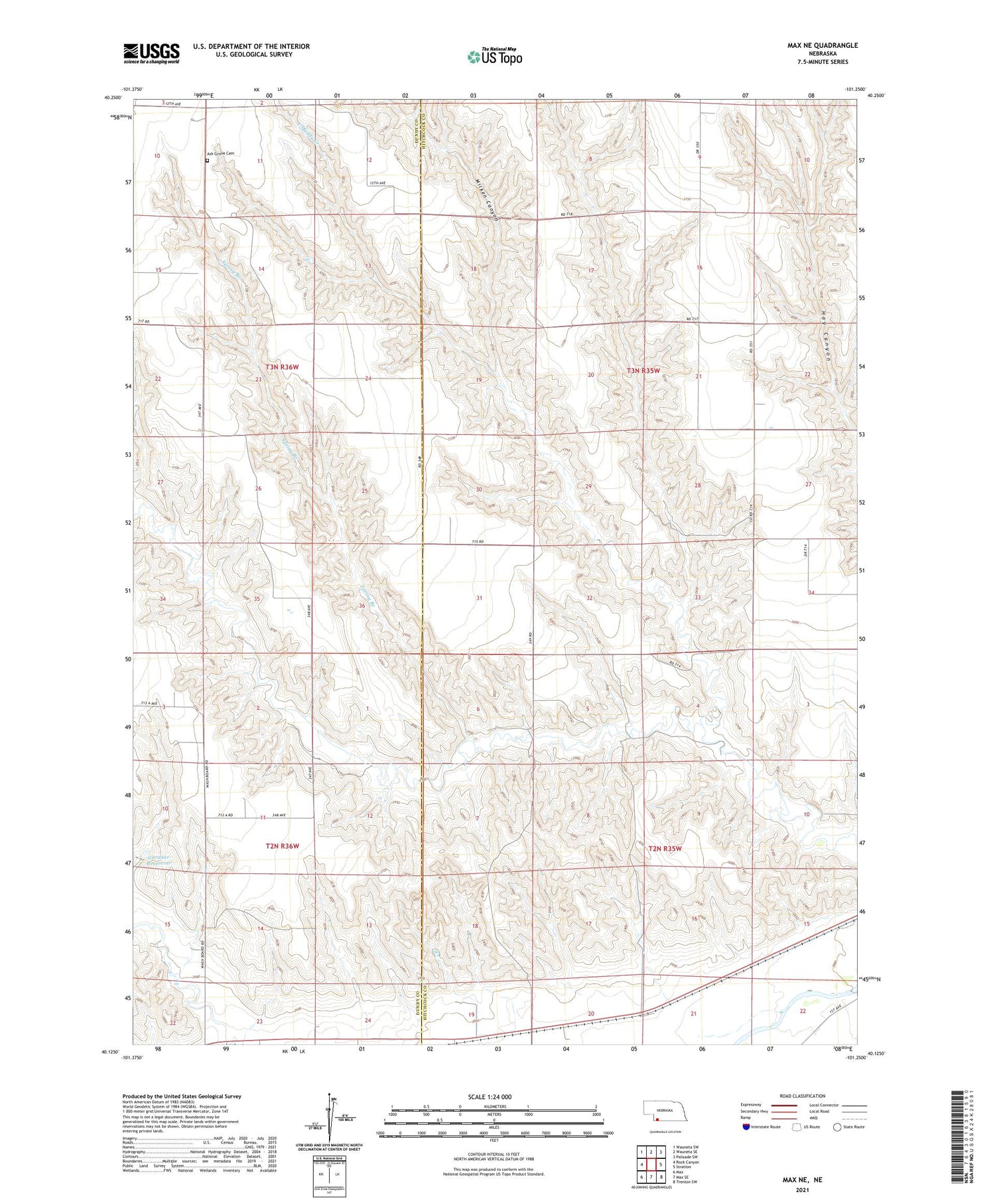
2021 topographic map quadrangle Max NE in the state of Nebraska. Scale: 1:24000. Based on the newly updated USGS 7.5' US Topo map series, this map is in the following counties: Hitchcock, Dundy. The map contains contour data, water features, and other items you are used to seeing on USGS maps, but also has updated roads and other features. This is the next generation of topographic maps. Printed on high-quality waterproof paper with UV fade-resistant inks.
Quads adjacent to this one:
West: Rock Canyon
Northwest: Wauneta SW
North: Wauneta SE
Northeast: Palisade SW
East: Stratton
Southeast: Trenton SW
South: Max SE
Southwest: Max
Contains the following named places: Ash Grove Cemetery, East Muddy Creek, Gardner Dam, Gardner Reservoir, Milken Canyon, Spring Branch, Stratton Election Precinct, Township of Stratton, Township of Webster, Webster Election Precinct, ZIP Code: 69043


