MyTopo
Smiley Canyon Nebraska US Topo Map
Couldn't load pickup availability
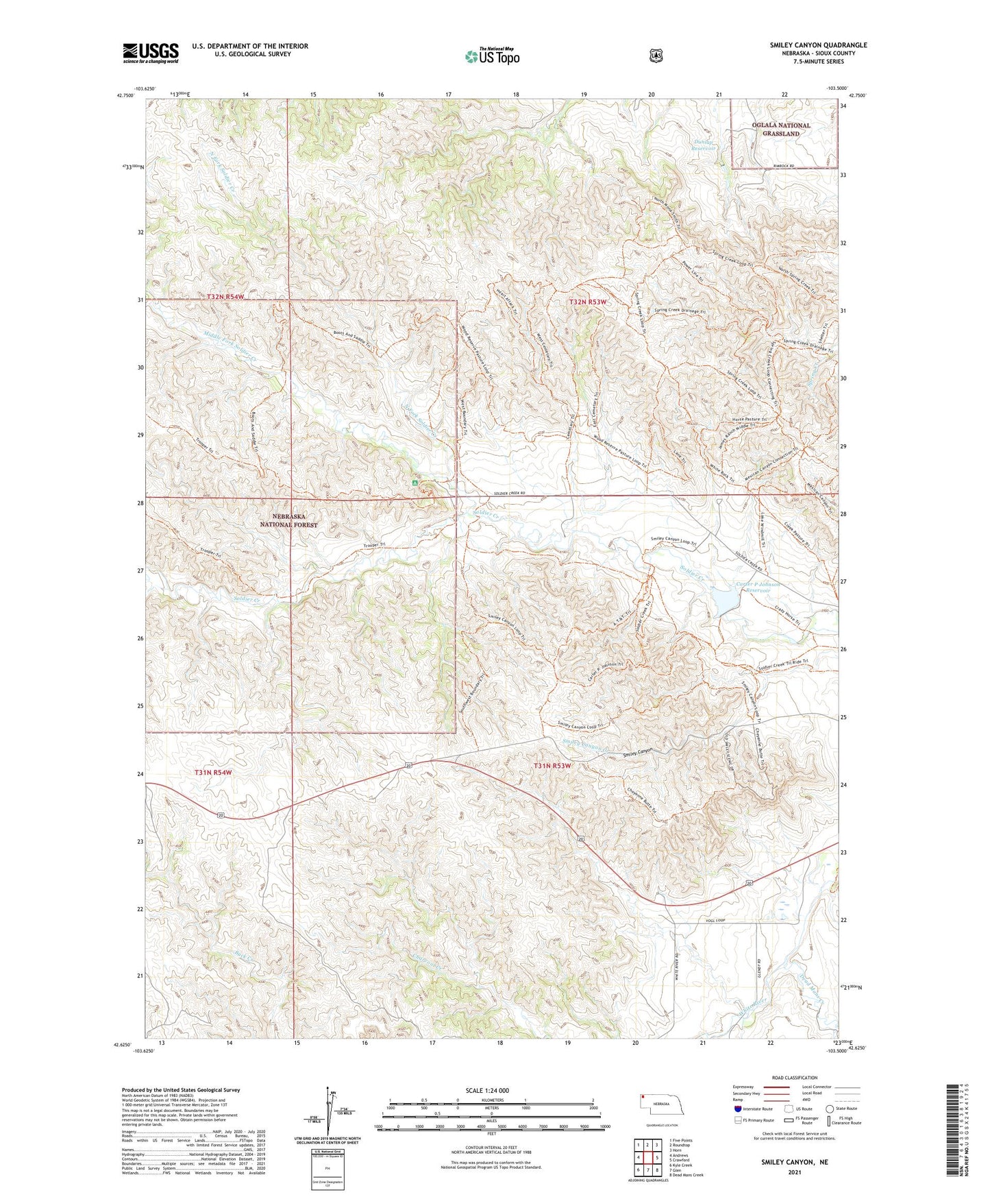
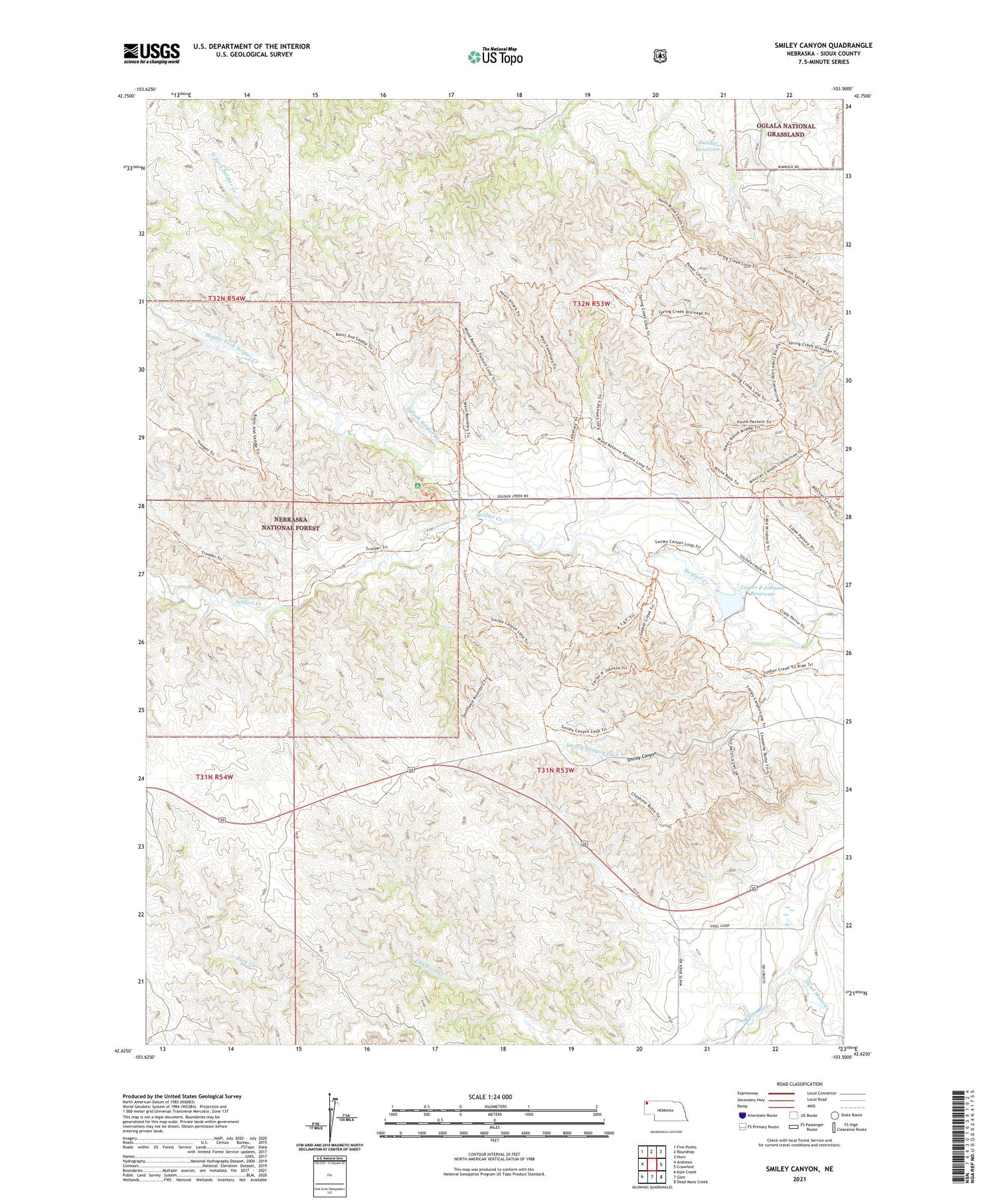
2021 topographic map quadrangle Smiley Canyon in the state of Nebraska. Scale: 1:24000. Based on the newly updated USGS 7.5' US Topo map series, this map is in the following counties: Sioux. The map contains contour data, water features, and other items you are used to seeing on USGS maps, but also has updated roads and other features. This is the next generation of topographic maps. Printed on high-quality waterproof paper with UV fade-resistant inks.
Quads adjacent to this one:
West: Andrews
Northwest: Five Points
North: Roundtop
Northeast: Horn
East: Crawford
Southeast: Dead Mans Creek
South: Glen
Southwest: Kyle Creek
Contains the following named places: Boardgate Dam, Boots and Saddle Trail, Carter P Johnson Dam, Carter P Johnson Reservoir, Dead Mans Creek, Dunlap Dam, Dunlap Reservoir, Fort Robinson State Park, Fort Robinson Wildlife Area, Middle Fork Soldier Creek, North Fork Soldier Creek, Peterson State Special Use Area, Smiley Canyon, Soldier Creek Trailhead, Soldier Creek Wilderness, Trooper Trail