MyTopo
Carson Lake Nevada US Topo Map
Couldn't load pickup availability
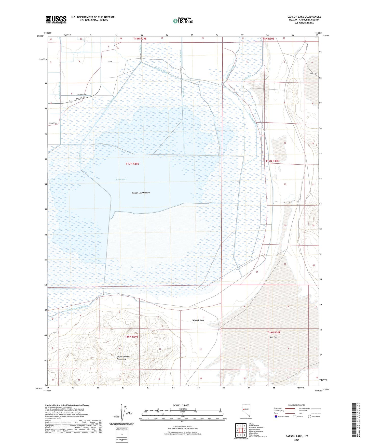
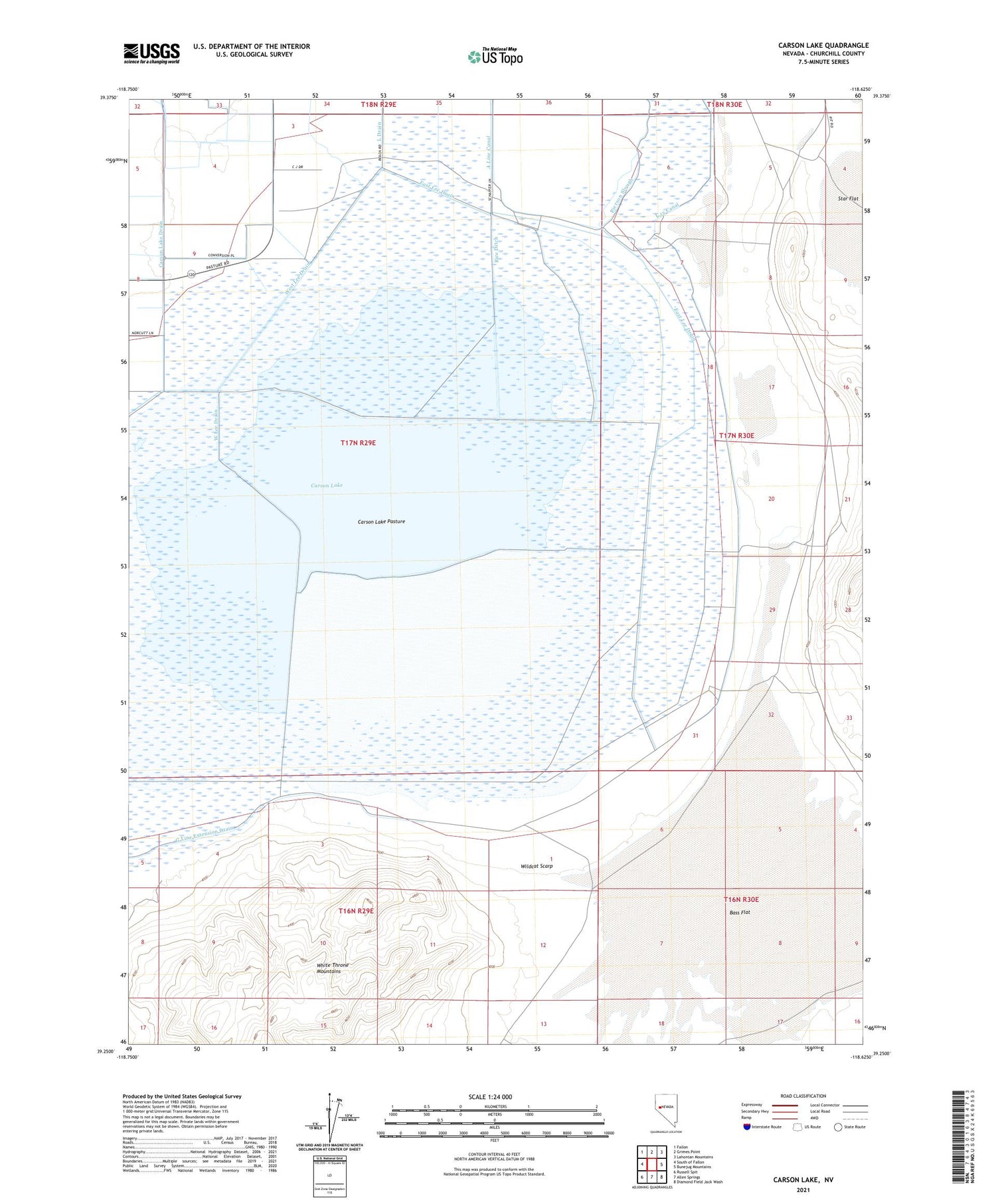
2021 topographic map quadrangle Carson Lake in the state of Nevada. Scale: 1:24000. Based on the newly updated USGS 7.5' US Topo map series, this map is in the following counties: Churchill. The map contains contour data, water features, and other items you are used to seeing on USGS maps, but also has updated roads and other features. This is the next generation of topographic maps. Printed on high-quality waterproof paper with UV fade-resistant inks.
Quads adjacent to this one:
West: South of Fallon
Northwest: Fallon
North: Grimes Point
Northeast: Lahontan Mountains
East: Bunejug Mountains
Southeast: Diamond Field Jack Wash
South: Allen Springs
Southwest: Russell Spit
Contains the following named places: Bass Flat, Carson Lake, Carson Lake Pasture, East Lee Drain, Greenhead Duck Club, Home Corral, Pierson Slough, Rice Ditch, South Branch Carson River, Southeast Corral, West Lee Drain, White Throne Mountains, Wildcat Freight Station, Wildcat Scarp