
MyTopo
South Bastian Spring Nevada US Topo Map
Couldn't load pickup availability
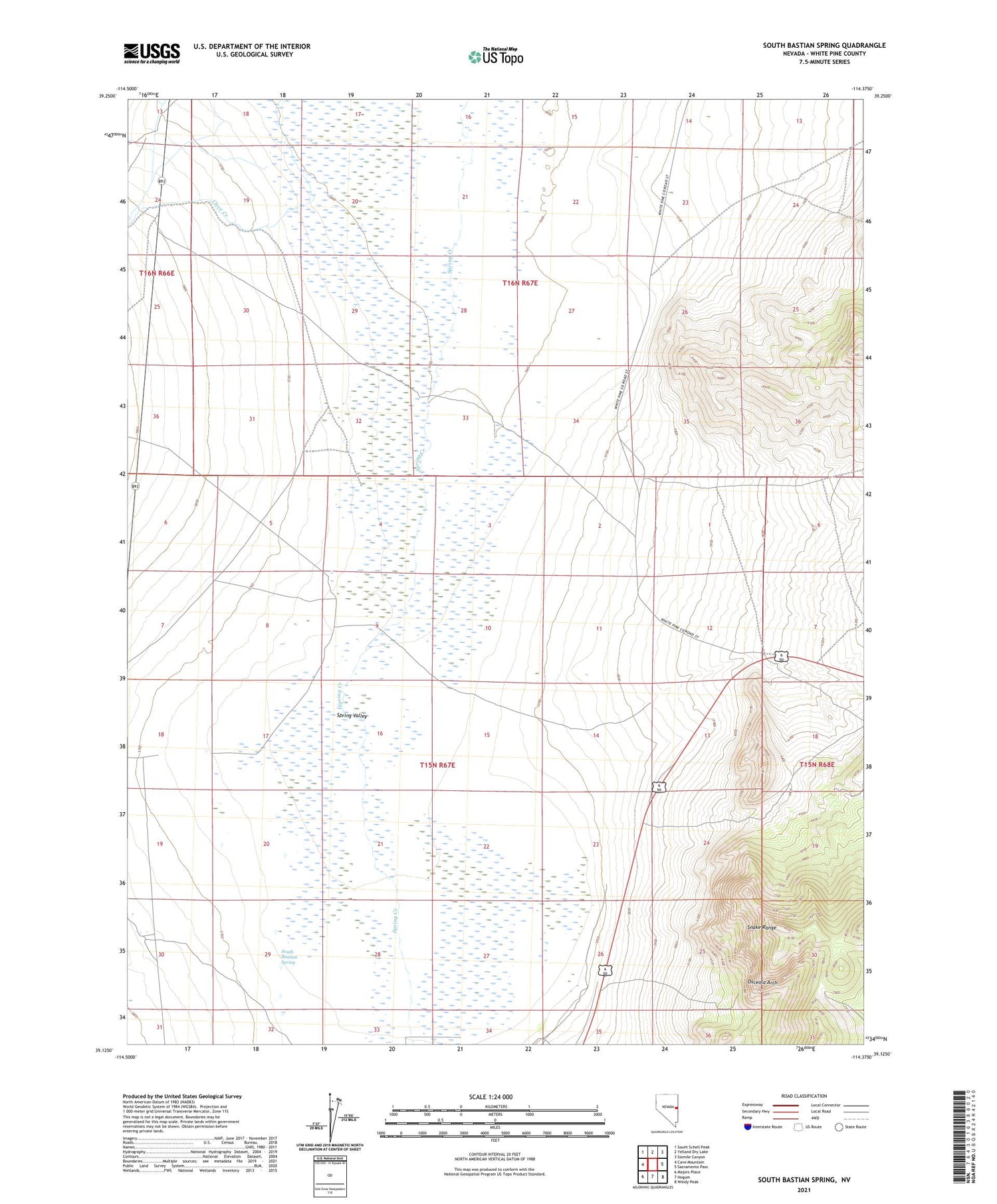
2021 topographic map quadrangle South Bastian Spring in the state of Nevada. Scale: 1:24000. Based on the newly updated USGS 7.5' US Topo map series, this map is in the following counties: White Pine. The map contains contour data, water features, and other items you are used to seeing on USGS maps, but also has updated roads and other features. This is the next generation of topographic maps. Printed on high-quality waterproof paper with UV fade-resistant inks.
Quads adjacent to this one:
West: Cave Mountain
Northwest: South Schell Peak
North: Yelland Dry Lake
Northeast: Sixmile Canyon
East: Sacramento Pass
Southeast: Windy Peak
South: Hogum
Southwest: Majors Place
Contains the following named places: Cleve Creek, Fera Well, Gilded Age Number 1 Mine, Indian Creek, Osceola Arch, Rose Cave Guano Mine, South Bastian Spring, Swamp Cedar Natural Area, Woodman Mine


