MyTopo
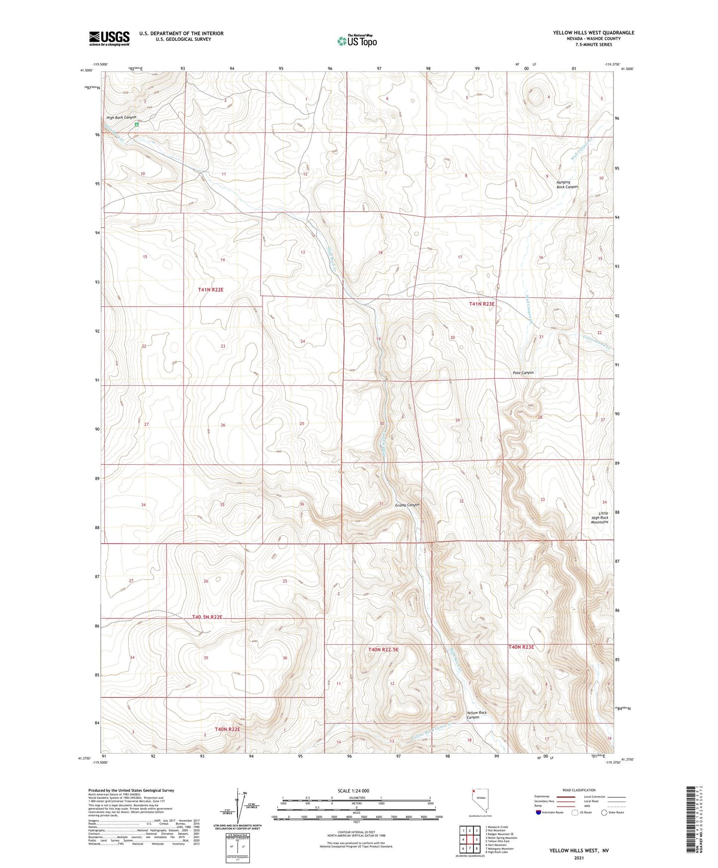
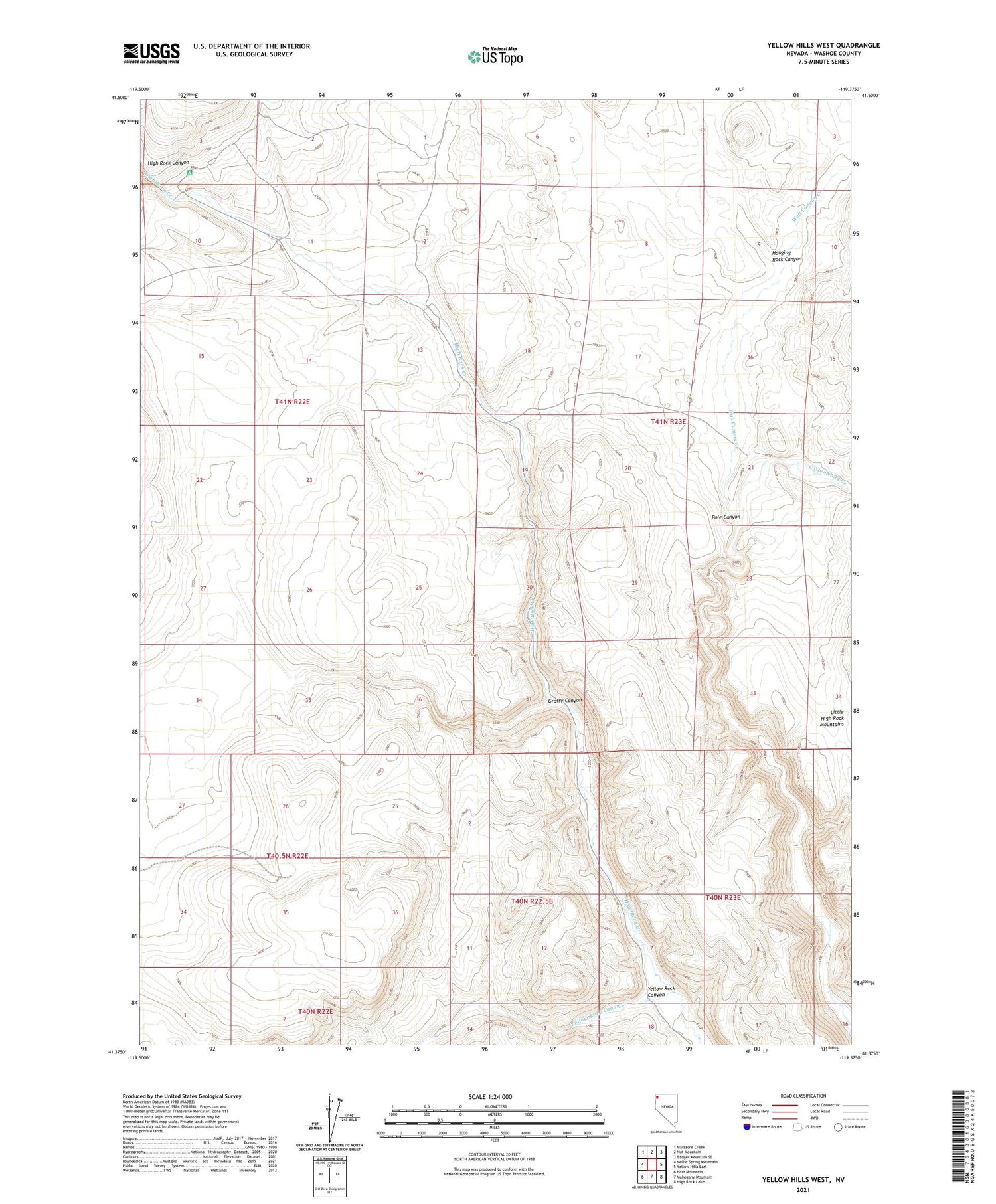
Yellow Hills West Nevada US Topo Map
Couldn't load pickup availability
2021 topographic map quadrangle Yellow Hills West in the state of Nevada. Scale: 1:24000. Based on the newly updated USGS 7.5' US Topo map series, this map is in the following counties: Washoe. The map contains contour data, water features, and other items you are used to seeing on USGS maps, but also has updated roads and other features. This is the next generation of topographic maps. Printed on high-quality waterproof paper with UV fade-resistant inks.
Quads adjacent to this one:
West: Nellie Spring Mountain
Northwest: Massacre Creek
North: Nut Mountain
Northeast: Badger Mountain SE
East: Yellow Hills East
Southeast: High Rock Lake
South: Mahogany Mountain
Southwest: Hart Mountain
Contains the following named places: Bernard Place, Bernards Corrals, Cottonwood Creek, Grassy Canyon, Hanging Rock Canyon, High Rock Canyon Wilderness, Stevens Camp, Van Riper Place, Wall Canyon Creek, Yellow Rock Canon Creek, Yellow Rock Canyon