MyTopo
Bristol New Hampshire US Topo Map
Couldn't load pickup availability
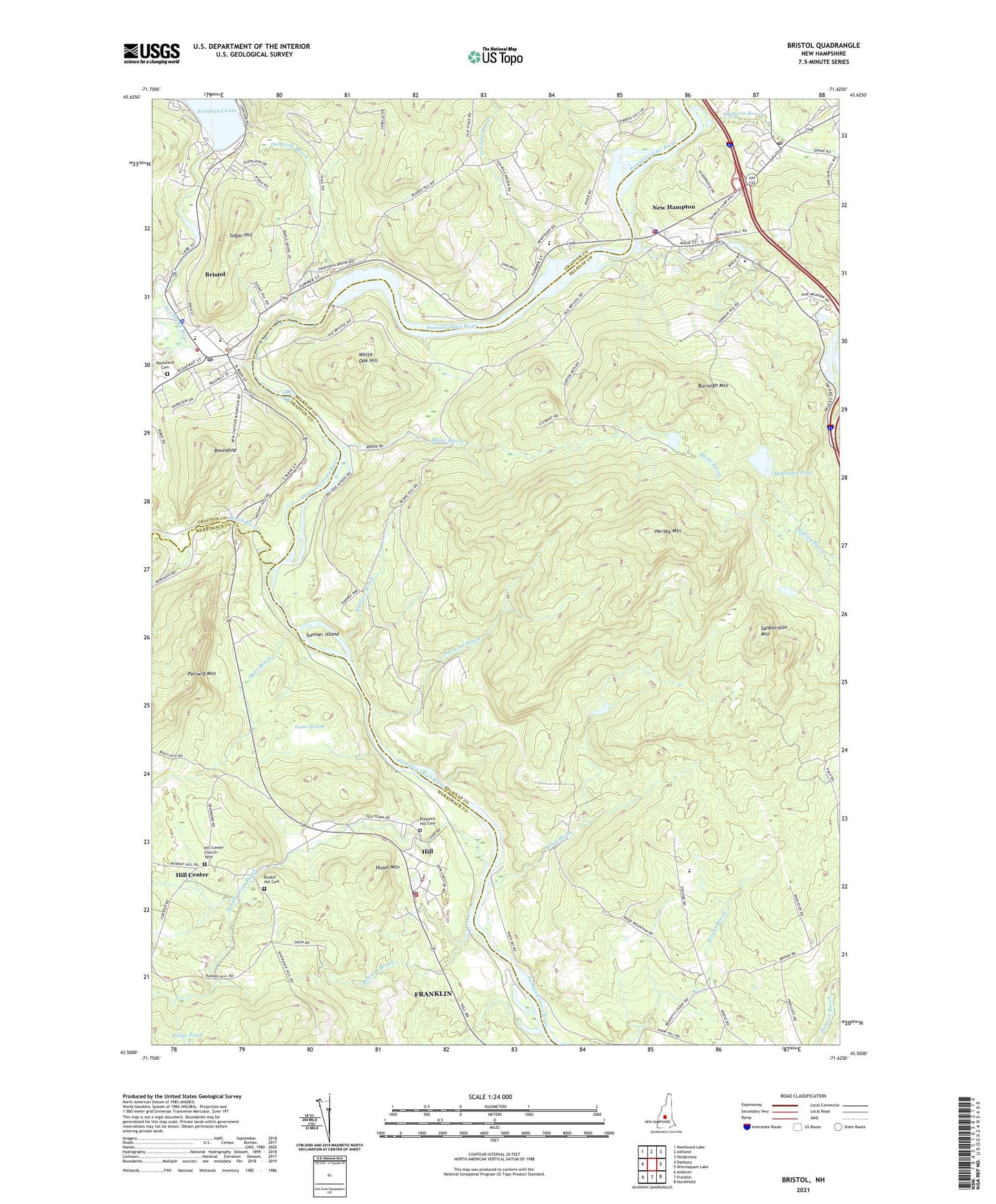
2021 topographic map quadrangle Bristol in the state of New Hampshire. Scale: 1:24000. Based on the newly updated USGS 7.5' US Topo map series, this map is in the following counties: Belknap, Merrimack, Grafton. The map contains contour data, water features, and other items you are used to seeing on USGS maps, but also has updated roads and other features. This is the next generation of topographic maps. Printed on high-quality waterproof paper with UV fade-resistant inks.
Quads adjacent to this one:
West: Danbury
Northwest: Newfound Lake
North: Ashland
Northeast: Holderness
East: Winnisquam Lake
Southeast: Northfield
South: Franklin
Southwest: Andover
Contains the following named places: Ayer Island Station Pond, Ayers Island Dam, Bennett Brook, Blake Brook, Blake School, Bristol, Bristol Baptist Church, Bristol Census Designated Place, Bristol Elementary School, Bristol Federated Church, Bristol Fire Department, Bristol Police Dept, Bristol Post Office, Bunker Hill Cemetery, Burleigh Mountain, Central Square Historic District, Danforth Brook, Dyer Brook, Fisk School, Foster Swamp, George Duncan State Forest, Hersey Mountain, Hill, Hill Center, Hill Center Church, Hill Center Church Yard, Hill Fire Department, Hill Police Department, Hill Post Office, Hill Village Bible Church, Homeland Cemetery, Huses Mountain, International Packings Corporation Lower Dam, International Packings Corporation Upper Dam, Jennie D Blake School, Knox Brook, Lige Pond, Lige Pond Dam, Magoon Brook, Minot-Sleeper Library, Mountain Pond, Mountain Pond North Dam, Mountain Pond South Dam, Needle Shop Brook, New Hampshire Fish Hatchery, New Hampton, New Hampton Census Designated Place, New Hampton Community Church, New Hampton Community School, New Hampton Fire Department, New Hampton Police Dept, New Hampton Post Office, New Hampton School, Newfound Lake, Newfound Lake Dam, Newfound Memorial Middle School, Newfound Region Chamber of Commerce, Newfound Regional High School, Newfound River, Newfound River Reservoir, Periwig Mountain, Pine Meadow Golf Club, Pleasant Hill Cemetery, Prescott Brook, Roundtop, Sanbornton Mountain, Sant Bani School, Smith River, Spectacle Pond, Sugar Hill, Sugar Hill State Forest, Sumner Island, Tenmile Brook, Town of Bristol, Town of New Hampton, Wallace Brook, White Oak Hill, ZIP Code: 03256