MyTopo
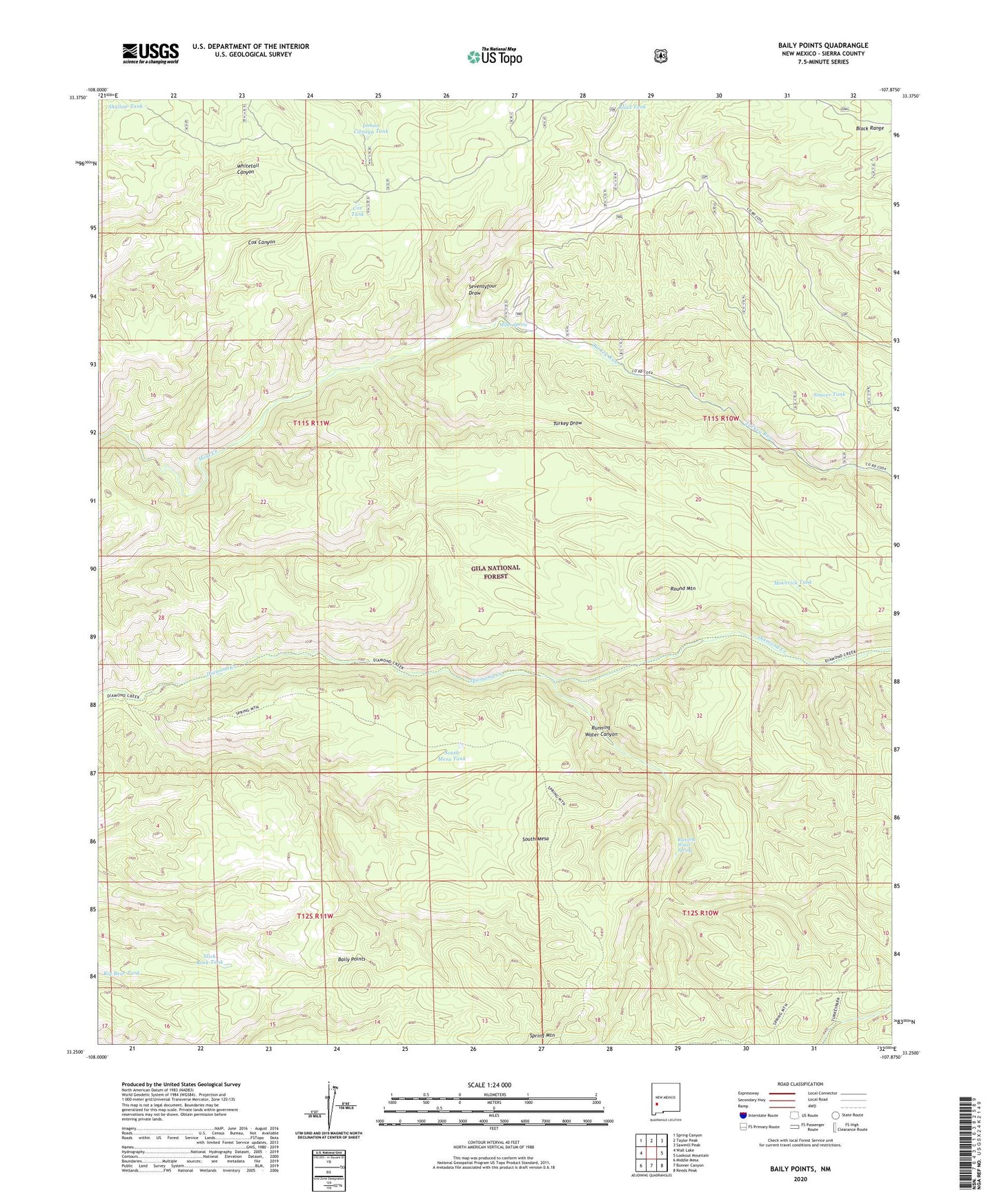
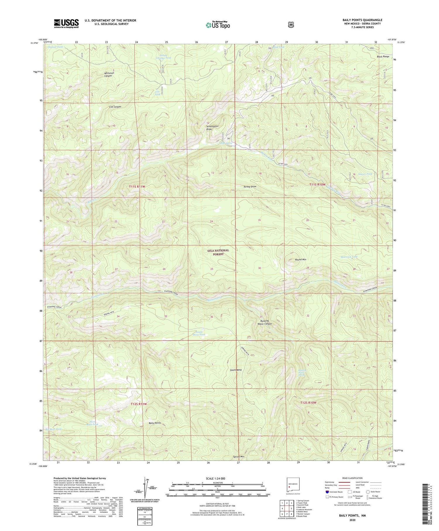
Baily Points New Mexico US Topo Map
Couldn't load pickup availability
2020 topographic map quadrangle Baily Points in the state of New Mexico. Scale: 1:24000. Based on the newly updated USGS 7.5' US Topo map series, this map is in the following counties: Sierra. The map contains contour data, water features, and other items you are used to seeing on USGS maps, but also has updated roads and other features. This is the next generation of topographic maps. Printed on high-quality waterproof paper with UV fade-resistant inks.
Quads adjacent to this one:
West: Wall Lake
Northwest: Spring Canyon
North: Taylor Peak
Northeast: Sawmill Peak
East: Lookout Mountain
Southeast: Reeds Peak
South: Bonner Canyon
Southwest: Middle Mesa
Contains the following named places: Baily Creek, Baily Points, Big Bear Tank, Black Range Ranger District, Caves Well, Cox Tank, Inman Cienega Tank, Maverick Tank, McCauley Ranch, Miller Spring, Road Tank, Round Mountain, Running Water Canyon, Running Water Spring, Saucer Tank, Seventyfour Draw, Seventy-Four Draw, Sevety-four Draw Well, Shallow Tank, Slick Rock Tank, South Mesa, South Mesa Tank, Turkey Draw, Turkey Run, Upper Dry Tank