MyTopo
Custer Mountain New Mexico US Topo Map
Couldn't load pickup availability
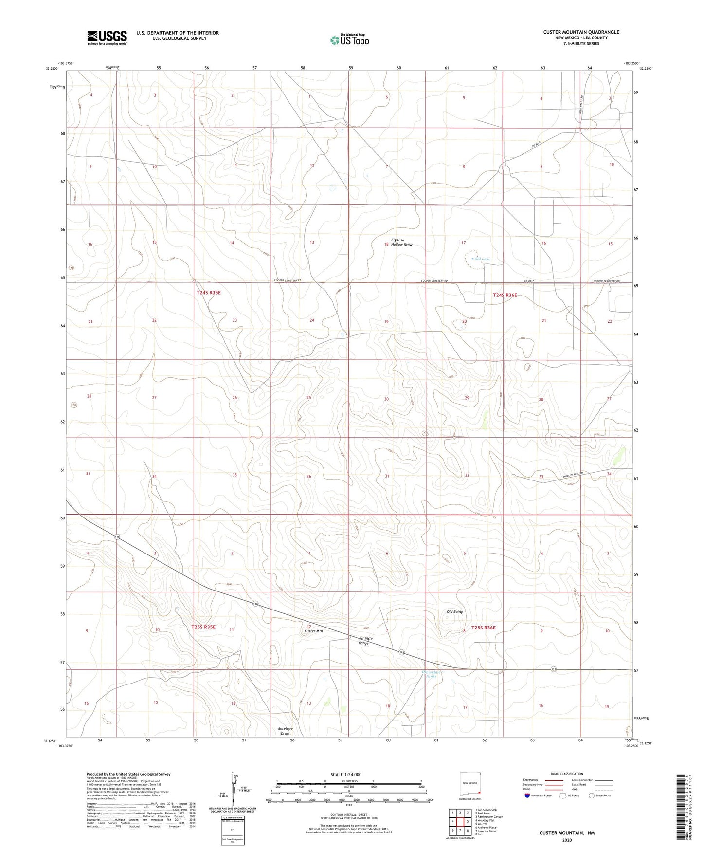
2020 topographic map quadrangle Custer Mountain in the state of New Mexico. Scale: 1:24000. Based on the newly updated USGS 7.5' US Topo map series, this map is in the following counties: Lea. The map contains contour data, water features, and other items you are used to seeing on USGS maps, but also has updated roads and other features. This is the next generation of topographic maps. Printed on high-quality waterproof paper with UV fade-resistant inks.
Quads adjacent to this one:
West: Woodley Flat
Northwest: San Simon Sink
North: East Lake
Northeast: Rattlesnake Canyon
East: Jal NW
Southeast: Jal
South: Javelina Basin
Southwest: Andrews Place
Contains the following named places: 10580 Water Well, 10581 Water Well, 10582 Water Well, 10583 Water Well, 10584 Water Well, 10585 Water Well, 10586 Water Well, Coats Windmill, Custer Mountain, Custer Mountain School, Dinwiddie Ranch, Dinwiddie Tanks, Humphreys Windmill, Jal Rifle Range, New Windmill, North K Windmill, North Well, Old Baldy, Old Lake, Sewell Tank, West Dublin Windmill, West Windmill, Whitten Ranch