MyTopo
Fort Union New Mexico US Topo Map
Couldn't load pickup availability
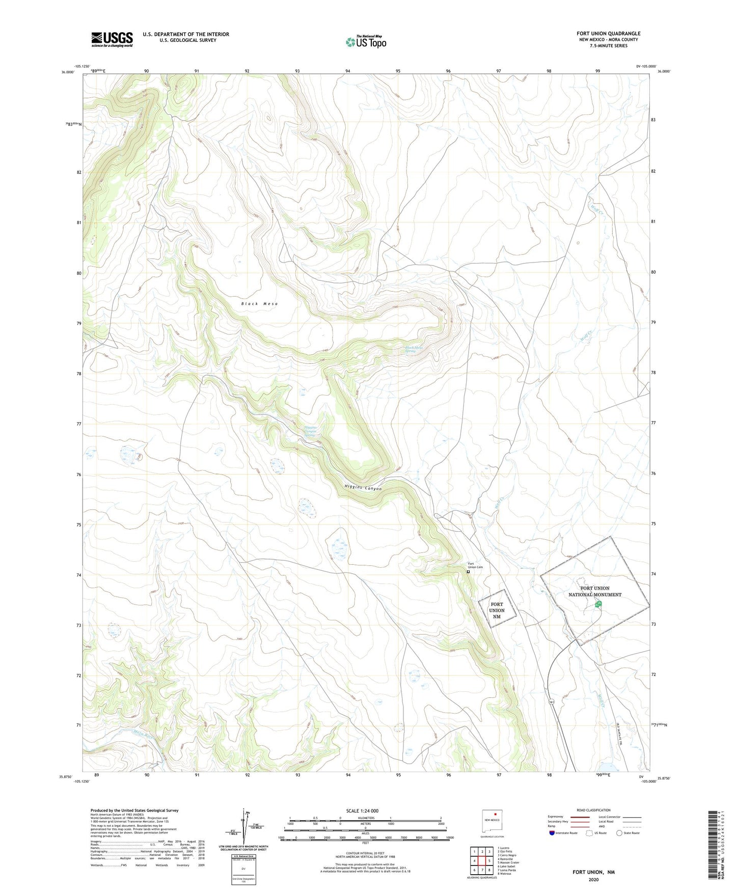
2020 topographic map quadrangle Fort Union in the state of New Mexico. Scale: 1:24000. Based on the newly updated USGS 7.5' US Topo map series, this map is in the following counties: Mora. The map contains contour data, water features, and other items you are used to seeing on USGS maps, but also has updated roads and other features. This is the next generation of topographic maps. Printed on high-quality waterproof paper with UV fade-resistant inks.
Quads adjacent to this one:
West: Rainsville
Northwest: Lucero
North: Ojo Feliz
Northeast: Cerro Negro
East: Maxson Crater
Southeast: Watrous
South: Loma Parda
Southwest: Lake Isabel
Contains the following named places: Black Mesa, Black Mesa Spring, Fort Union, Fort Union Cemetery, Fort Union National Monument, Fort Union National Monument Historical Marker, Fort Union Post Office, Fort Union Ranch, Higgins Canyon, Higgins Canyon Spring, Martinez