MyTopo
Indian Flats New Mexico US Topo Map
Couldn't load pickup availability
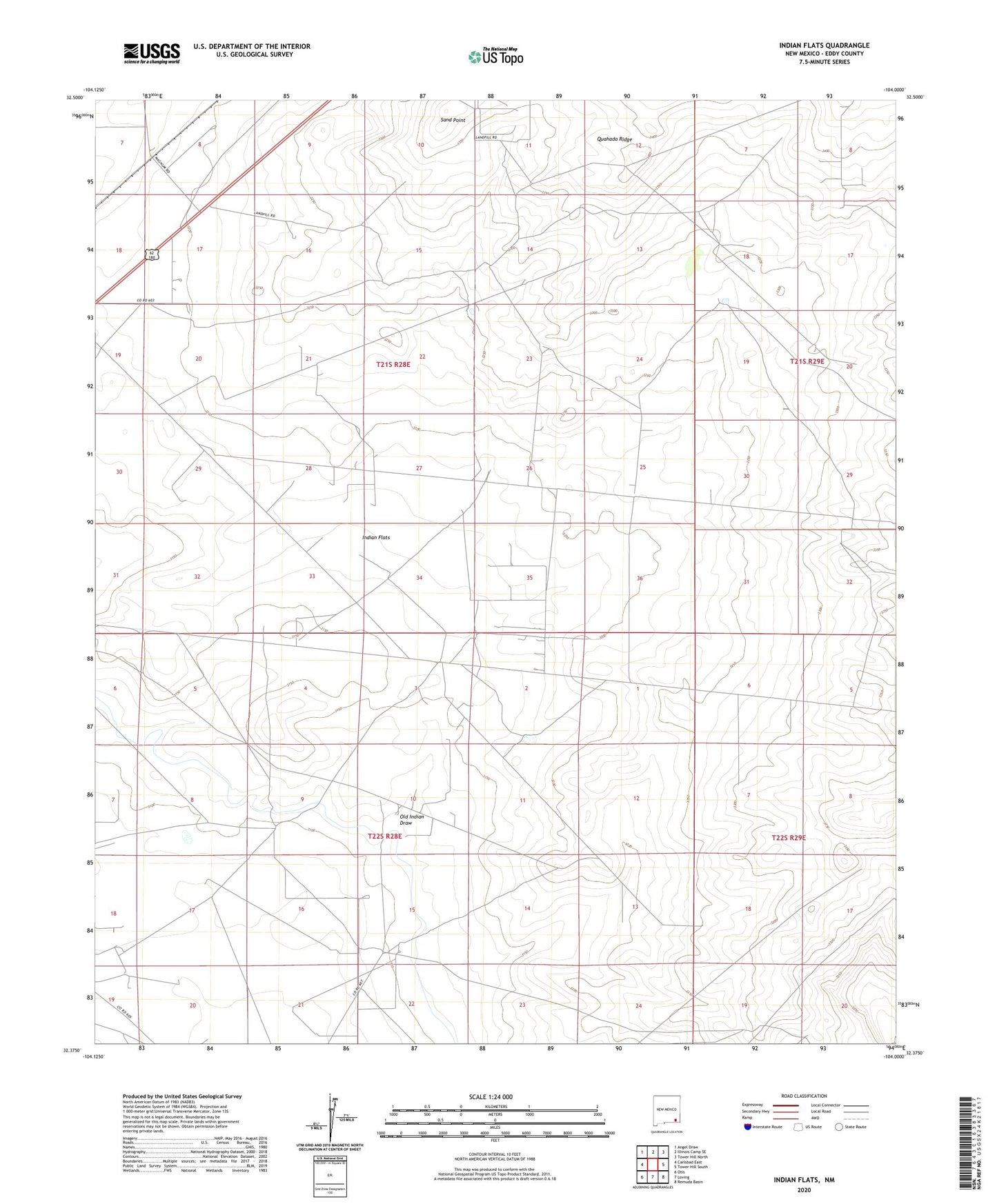
2020 topographic map quadrangle Indian Flats in the state of New Mexico. Scale: 1:24000. Based on the newly updated USGS 7.5' US Topo map series, this map is in the following counties: Eddy. The map contains contour data, water features, and other items you are used to seeing on USGS maps, but also has updated roads and other features. This is the next generation of topographic maps. Printed on high-quality waterproof paper with UV fade-resistant inks.
Quads adjacent to this one:
West: Carlsbad East
Northwest: Angel Draw
North: Illinois Camp SE
Northeast: Tower Hill North
East: Tower Hill South
Southeast: Remuda Basin
South: Loving
Southwest: Otis
Contains the following named places: Andrews Well, Dublin Ranch, Indian Flats, Joe Lusk East Well, Old Indian Draw, Quahada Ridge, Sand Point