
MyTopo
Indian Peak New Mexico US Topo Map
Couldn't load pickup availability
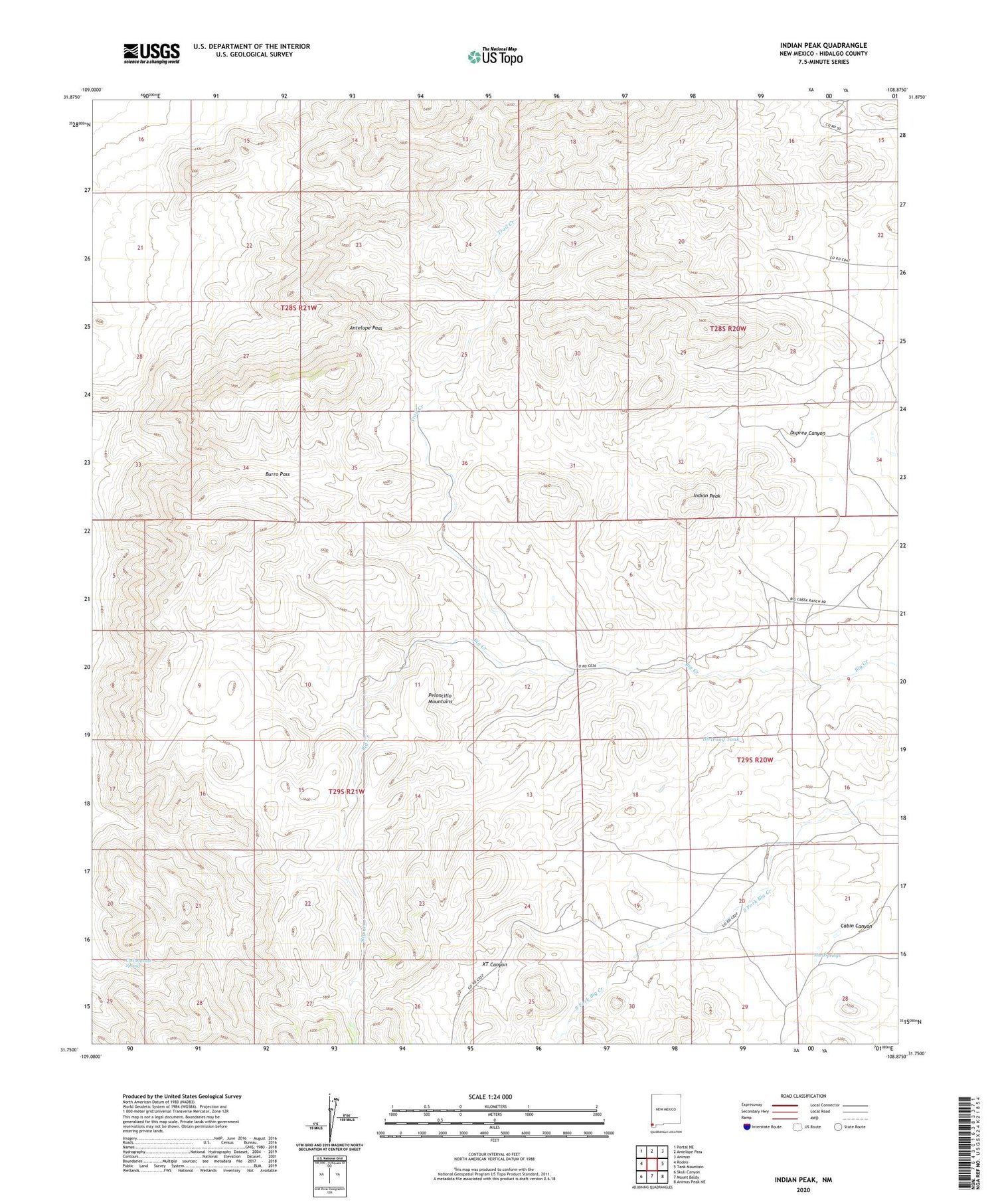
2020 topographic map quadrangle Indian Peak in the state of New Mexico. Scale: 1:24000. Based on the newly updated USGS 7.5' US Topo map series, this map is in the following counties: Hidalgo. The map contains contour data, water features, and other items you are used to seeing on USGS maps, but also has updated roads and other features. This is the next generation of topographic maps. Printed on high-quality waterproof paper with UV fade-resistant inks.
Quads adjacent to this one:
West: Rodeo
Northwest: Portal NE
North: Antelope Pass
Northeast: Animas
East: Tank Mountain
Southeast: Animas Peak NE
South: Mount Baldy
Southwest: Skull Canyon
Contains the following named places: Antelope Pass, Birtrong Tank, Burro Pass, Coe Ranch, Cottonwood Spring, Dupree Canyon, Gibson Place, Indian Peak, Maloney, Maloney Ranch, Mouser Place, Mud Springs, Old Maddox School, Owl Canyon, Pages Store, Rough Creek, Tase Golman, Trail Creek, XT Canyon, ZIP Code: 88056


