MyTopo
Laguna Del Perro North New Mexico US Topo Map
Couldn't load pickup availability
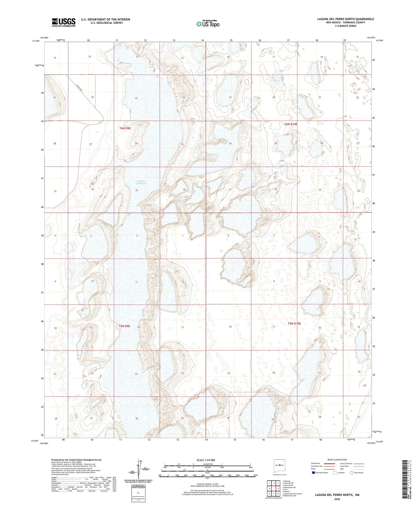
2020 topographic map quadrangle Laguna Del Perro North in the state of New Mexico. Scale: 1:24000. Based on the newly updated USGS 7.5' US Topo map series, this map is in the following counties: Torrance. The map contains contour data, water features, and other items you are used to seeing on USGS maps, but also has updated roads and other features. This is the next generation of topographic maps. Printed on high-quality waterproof paper with UV fade-resistant inks.
Quads adjacent to this one:
West: Mountainair NE
Northwest: Estancia
North: Lobo Hill SW
Northeast: Lobo Hill SE
East: Lucy
Southeast: Rattlesnake Hill
South: Laguna Del Perro South
Southwest: Willard
Contains the following named places: 10240 Water Well, El Ranchero Berkshire, La Salina, La Salle Grant, Laguna del Perro, Laguna Del Perro Historical Marker, Salt Lakes Historical Marker