MyTopo
Maljamar NE New Mexico US Topo Map
Couldn't load pickup availability
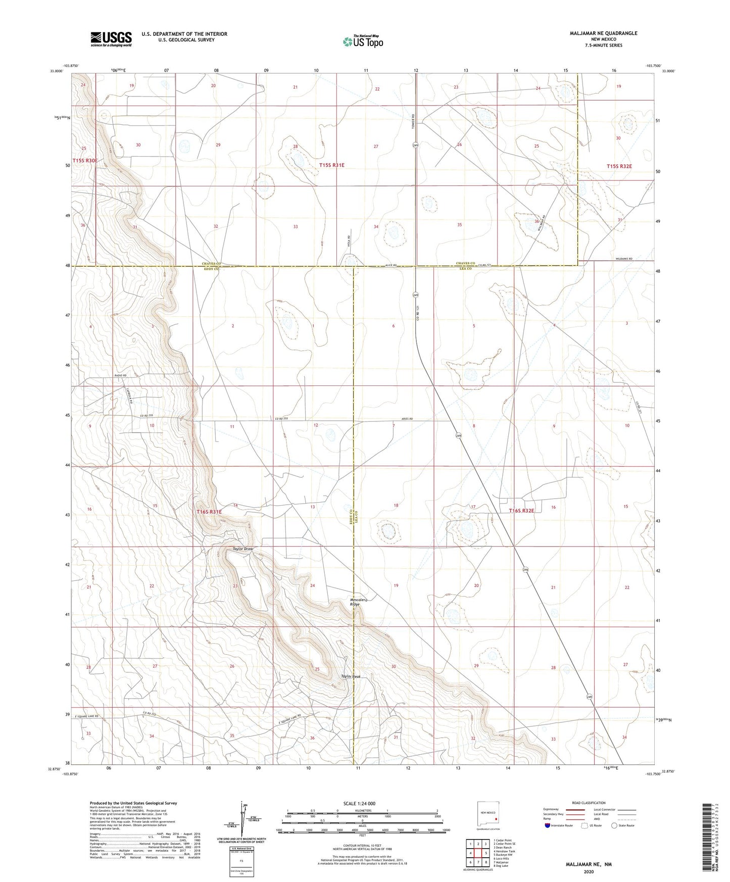
2020 topographic map quadrangle Maljamar NE in the state of New Mexico. Scale: 1:24000. Based on the newly updated USGS 7.5' US Topo map series, this map is in the following counties: Eddy, Lea, Chaves. The map contains contour data, water features, and other items you are used to seeing on USGS maps, but also has updated roads and other features. This is the next generation of topographic maps. Printed on high-quality waterproof paper with UV fade-resistant inks.
Quads adjacent to this one:
West: Henshaw Tank
Northwest: Cedar Point
North: Cedar Point SE
Northeast: Dean Ranch
East: Buckeye NW
Southeast: Dog Lake
South: Maljamar
Southwest: Loco Hills
Contains the following named places: 12355 Water Well, 12358 Water Well, 12360 Water Well, 12361 Water Well, 12758 Water Well, 13605 Water Well, Anderson Ranch, Bond Ranch, Four Bac Windmill, Holeman-Taylor Ranch, KMTH-FM (Maljamar), Liman Windmill, Lone Well, New Fletcher Well, Old Fletcher Well, Old Ranch Windmill, Pipeline Windmill, Robinson Oil Field, South Caprock Oil Field, Taylor Peak, West Anderson Oil Field