
MyTopo
Santa Rosa Lake New Mexico US Topo Map
Couldn't load pickup availability
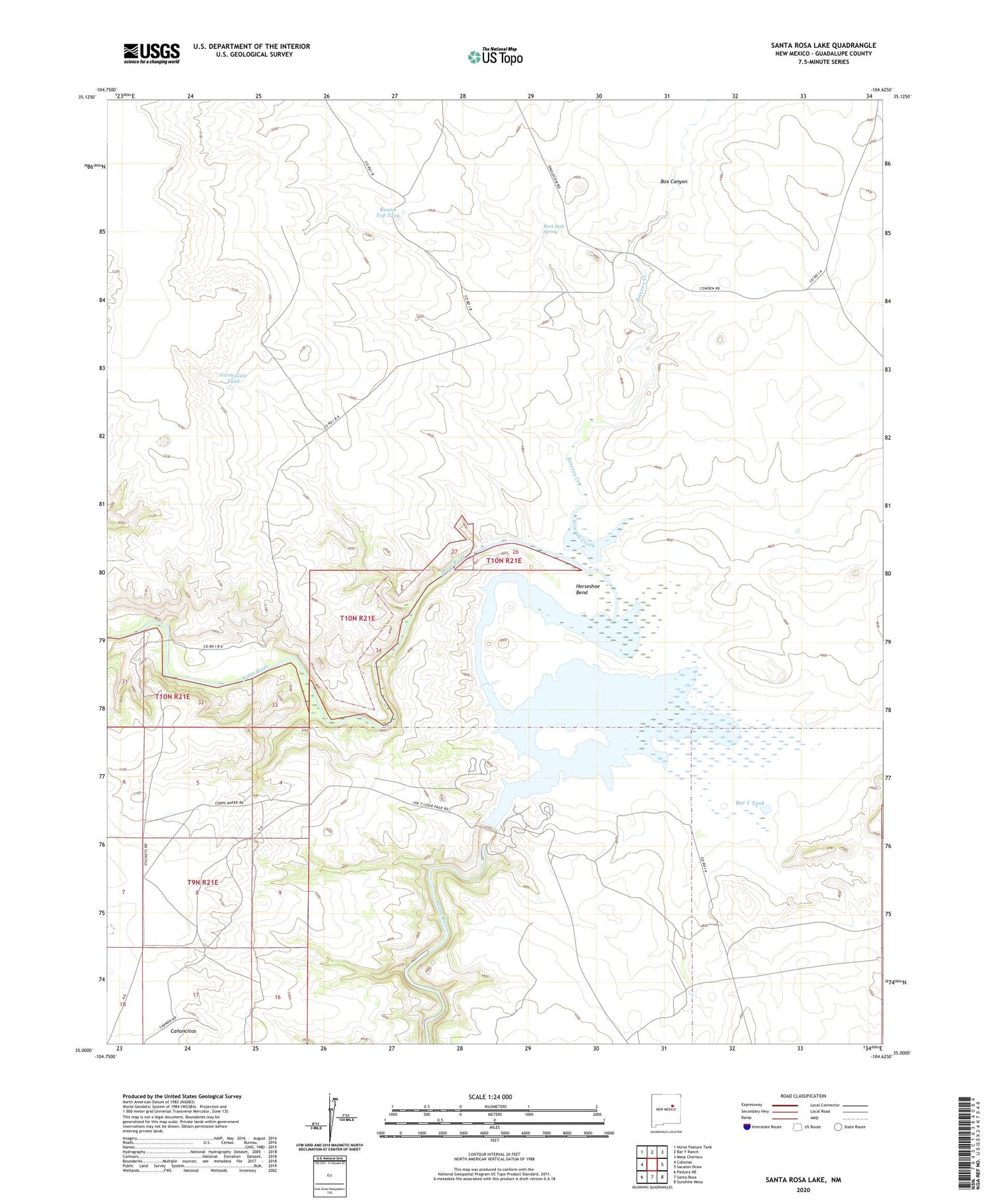
2020 topographic map quadrangle Santa Rosa Lake in the state of New Mexico. Scale: 1:24000. Based on the newly updated USGS 7.5' US Topo map series, this map is in the following counties: Guadalupe. The map contains contour data, water features, and other items you are used to seeing on USGS maps, but also has updated roads and other features. This is the next generation of topographic maps. Printed on high-quality waterproof paper with UV fade-resistant inks.
Quads adjacent to this one:
West: Colonias
Northwest: Horse Pasture Tank
North: Bar Y Ranch
Northeast: Mesa Cherisco
East: Sacaton Draw
Southeast: Sunshine Mesa
South: Santa Rosa
Southwest: Pastura NE
Contains the following named places: Bar Y Tank, Bogey Well, Box Canyon, Catfish Falls, Creek Pasture Tank, Esteros Creek, Farm Gate Tank, Horseshoe Bend, Jose Perea, Miser Well, North Tank, Oil Well Windmill, Reilly Ranch, River Ranch, Rock Hole Spring, Round Top Tank, Santa Rosa Dam, Santa Rosa Lake, Santa Rosa Lake State Park, Shaw and Craig Walker, Stinking Well, Telephone Tank


