MyTopo
Ivory New York US Topo Map
Couldn't load pickup availability
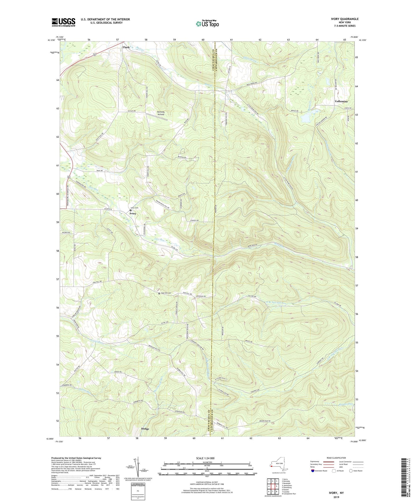
2019 topographic map quadrangle Ivory in the state of New York. Scale: 1:24000. Based on the newly updated USGS 7.5' US Topo map series, this map is in the following counties: Chautauqua, Cattaraugus. The map contains contour data, water features, and other items you are used to seeing on USGS maps, but also has updated roads and other features. This is the next generation of topographic maps. Printed on high-quality waterproof paper with UV fade-resistant inks.
Quads adjacent to this one:
West: Jamestown
Northwest: Gerry
North: Kennedy
Northeast: Randolph
East: Steamburg
Southeast: Cornplanter Run
South: Scandia
Southwest: Russell
Contains the following named places: Clark, Clarks Corners Community Church, Dodge, Dry Brook, Ivory, Ivory Baptist Church, Ivory Cemetery, J - High Acres, Kennedy Airfield, Kost Family Apiary, Little Bone Run, Oak Hill Cemetery, Oak Hill Church, Town of Carroll, Vollentine, Wheeler Hill Church, ZIP Code: 14738