MyTopo
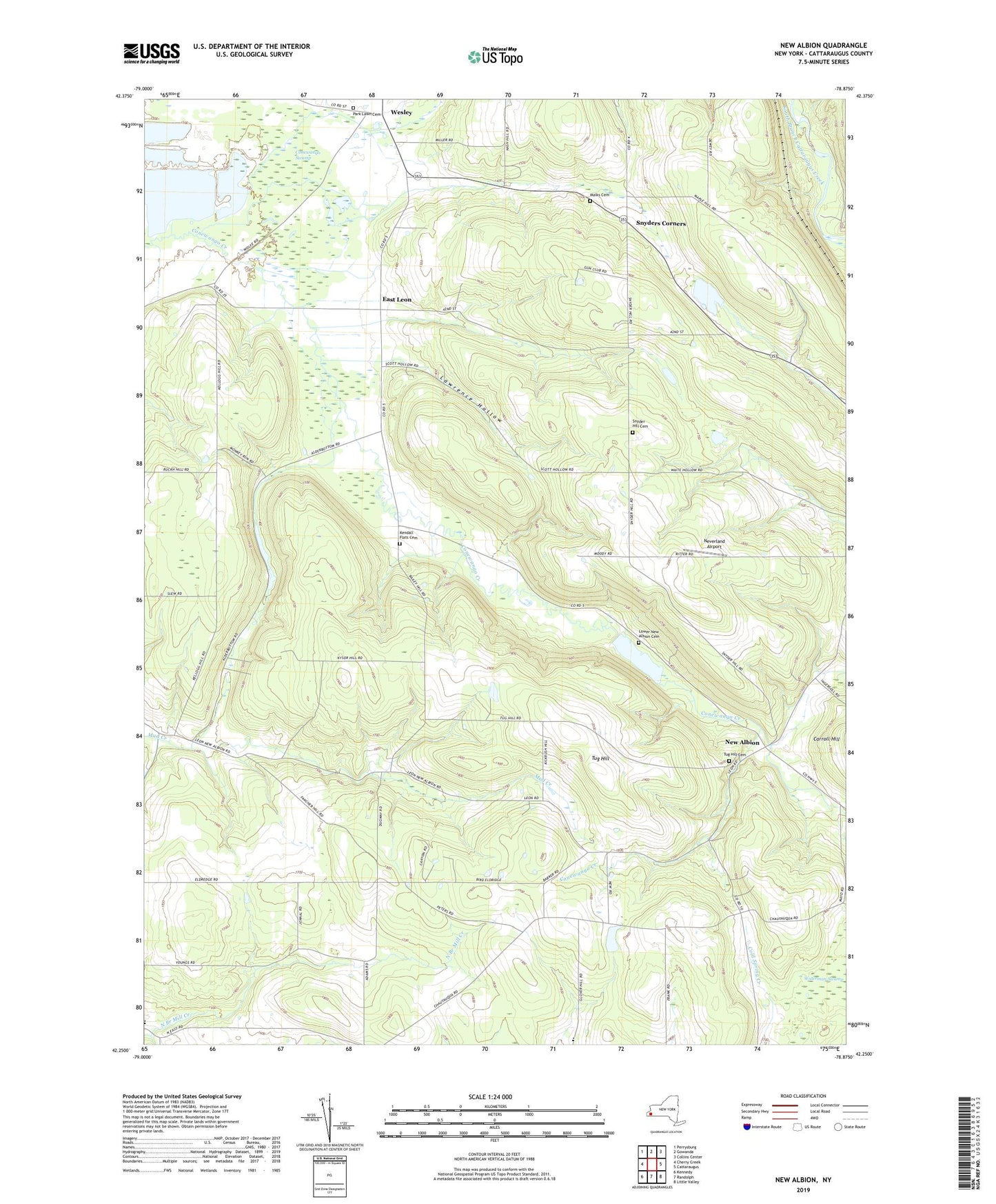
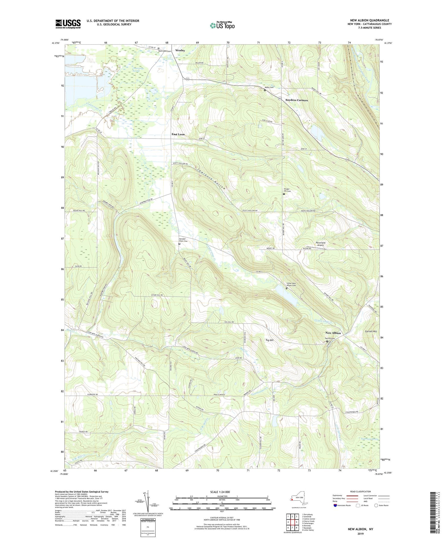
New Albion New York US Topo Map
Couldn't load pickup availability
2019 topographic map quadrangle New Albion in the state of New York. Scale: 1:24000. Based on the newly updated USGS 7.5' US Topo map series, this map is in the following counties: Cattaraugus. The map contains contour data, water features, and other items you are used to seeing on USGS maps, but also has updated roads and other features. This is the next generation of topographic maps. Printed on high-quality waterproof paper with UV fade-resistant inks.
Quads adjacent to this one:
West: Cherry Creek
Northwest: Perrysburg
North: Gowanda
Northeast: Collins Center
East: Cattaraugus
Southeast: Little Valley
South: Randolph
Southwest: Kennedy
Contains the following named places: Axville School, Conewango Swamp, East Leon, East Leon Wesleyan Church, Judd Corners, Kendall Corners, Kendall Flats Cemetery, Kysor Hill School, Lawrence Hollow, Lower New Albion Cemetery, Malks Cemetery, Mosher Hollow, Neverland Airport, New Albion, North Branch Mill Creek, Park Lawn Cemetery, Snyder Hill Cemetery, Snyder Hill School, Snyders Corners, Town Hill School, Town of New Albion, Tug Hill, Tug Hill Cemetery, Waterman Swamp, Wells Hill School, Wesley, Young School, ZIP Code: 14719