
MyTopo
Cape Hatteras North Carolina US Topo Map
Couldn't load pickup availability
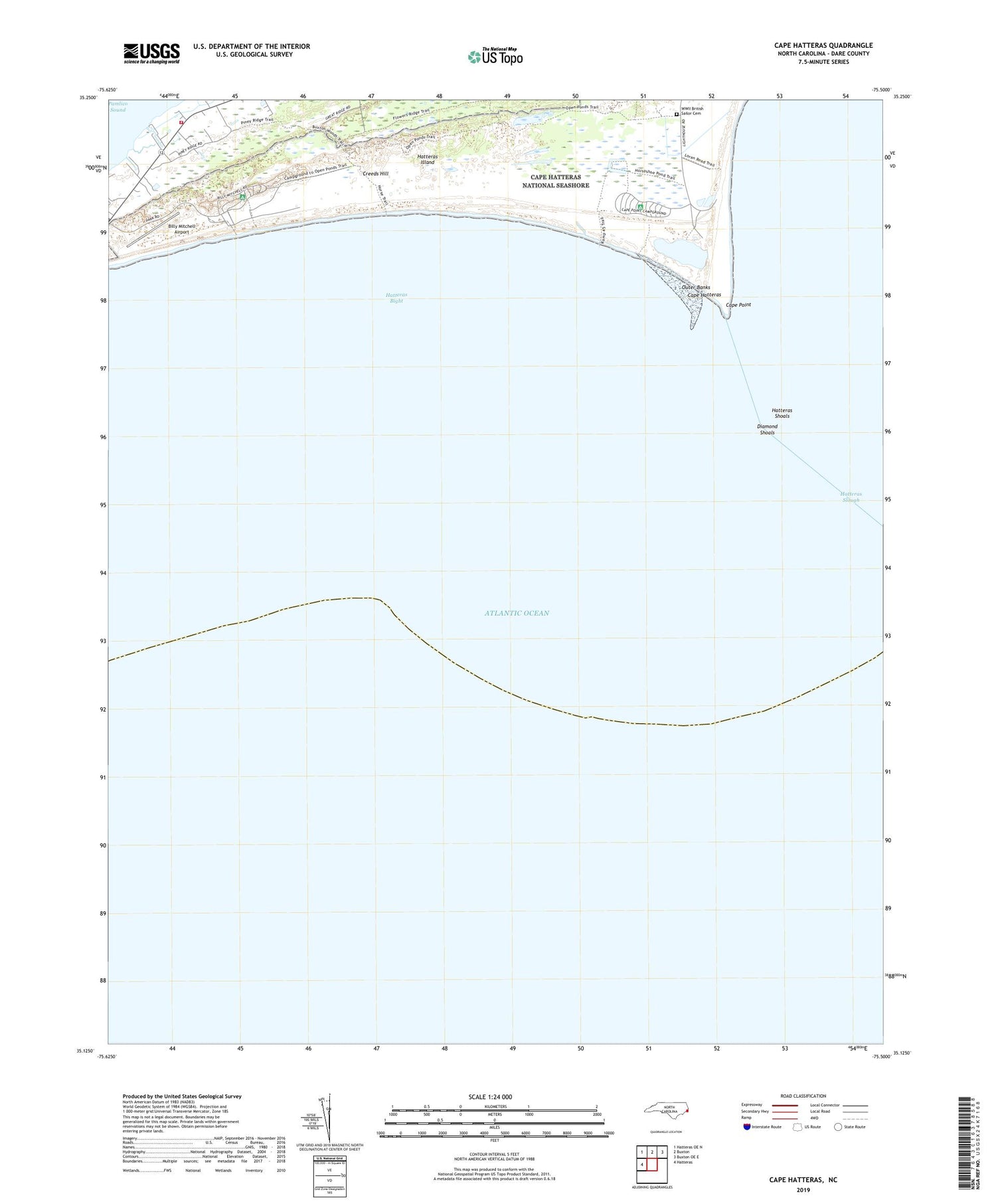
2019 topographic map quadrangle Cape Hatteras in the state of North Carolina. Scale: 1:24000. Based on the newly updated USGS 7.5' US Topo map series, this map is in the following counties: Dare. The map contains contour data, water features, and other items you are used to seeing on USGS maps, but also has updated roads and other features. This is the next generation of topographic maps. Printed on high-quality waterproof paper with UV fade-resistant inks.
Quads adjacent to this one:
West: Hatteras
Northwest: Hatteras OE N
North: Buxton
Northeast: Buxton OE E
Contains the following named places: Atlantic Ocean, Billy Mitchell Airport, Cape Hatteras, Cape Hatteras National Seashore, Cape Hatteras State Park, Cape Point, Creeds Hill, Diamond Shoals, Frisco Census Designated Place, Frisco Fire Department Station 42, Hatteras Bight, Hatteras Shoals, Hatteras Slough, Little Grove Church, Township of Hatteras, World War 2 British Sailor Cemetery, ZIP Code: 27936


