
MyTopo
Carthage North Carolina US Topo Map
Couldn't load pickup availability
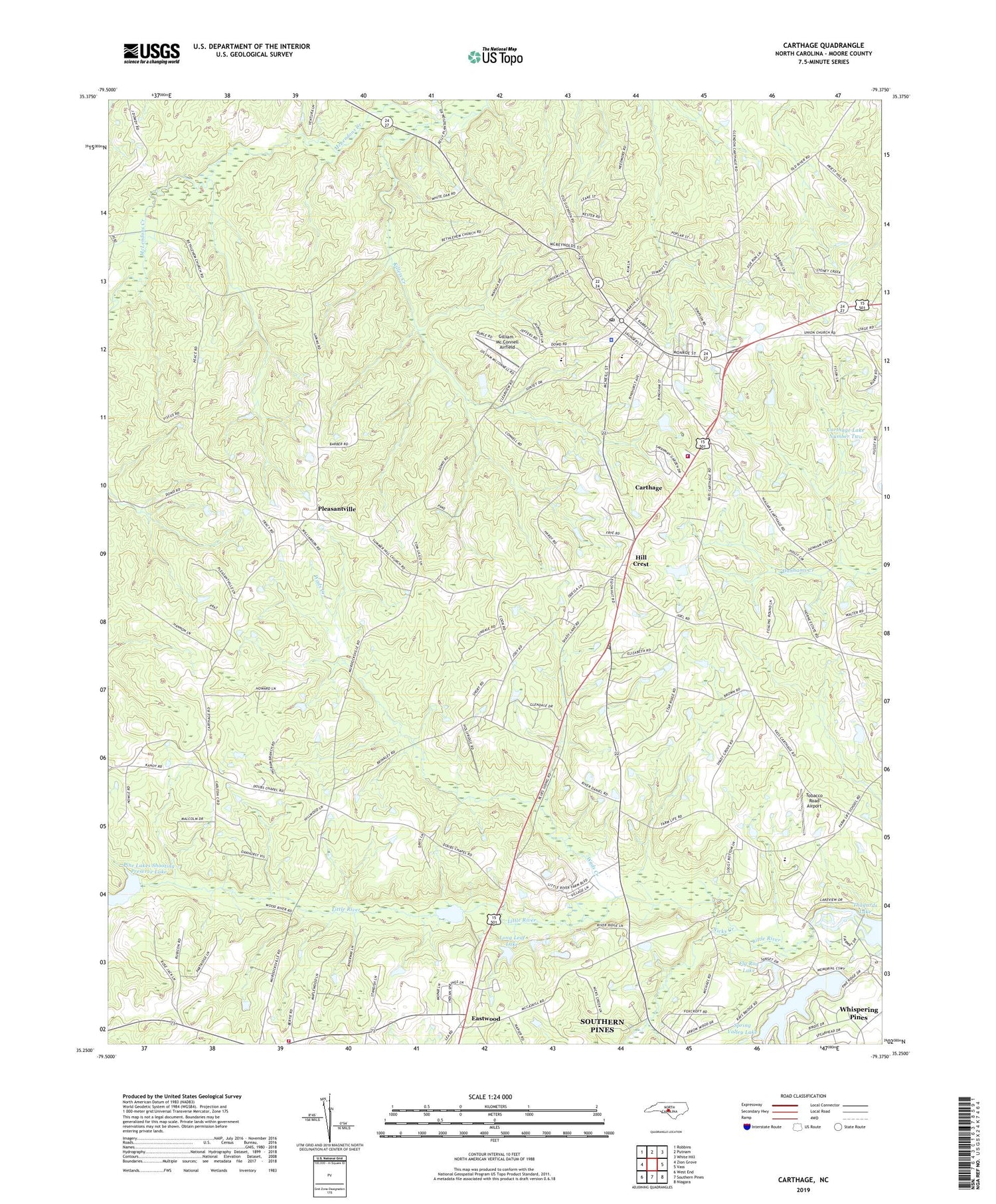
2019 topographic map quadrangle Carthage in the state of North Carolina. Scale: 1:24000. Based on the newly updated USGS 7.5' US Topo map series, this map is in the following counties: Moore. The map contains contour data, water features, and other items you are used to seeing on USGS maps, but also has updated roads and other features. This is the next generation of topographic maps. Printed on high-quality waterproof paper with UV fade-resistant inks.
Quads adjacent to this one:
West: Zion Grove
Northwest: Robbins
North: Putnam
Northeast: White Hill
East: Vass
Southeast: Niagara
South: Southern Pines
Southwest: West End
Contains the following named places: Bethlehem Church, Carthage, Carthage Elementary School, Carthage Fire Department, Carthage Lake Dam Number Two, Carthage Lake Number Two, Carthage Police Department, Carthage Post Office, Carthage Rescue Squad, Doubs Chapel, Eastwood Volunteer Fire Department, Eureka Church, Fairview Church, Farm Life School, First Presbyterian Church, Fly Rod Lake, Fly Rod Lake Dam, Gilliam - Mc Connell Airfield, Goodwin State Forest, Hill Crest, Ingram Branch Church, Killets Creek, Long Leaf Lake, Long Leaf Lake Dam, Moore County, Moore County Sheriff's Office, Mount Olive Church, Nicks Creek, Pine Lakes Shooting Preserve Lake, Pleasantville, Priest Hill Church, Saint Johns Church, Shadow Lake, Shadow Lake Dam, Spring Valley Lake, Spring Valley Lake Dam, Tobacco Road Airport, Town of Carthage, Township 1-Carthage, Village of Whispering Pines, Wads Creek, Whispering Pines Fire and Rescue Squad, ZIP Code: 28327


