MyTopo
Dawson North Dakota US Topo Map
Couldn't load pickup availability
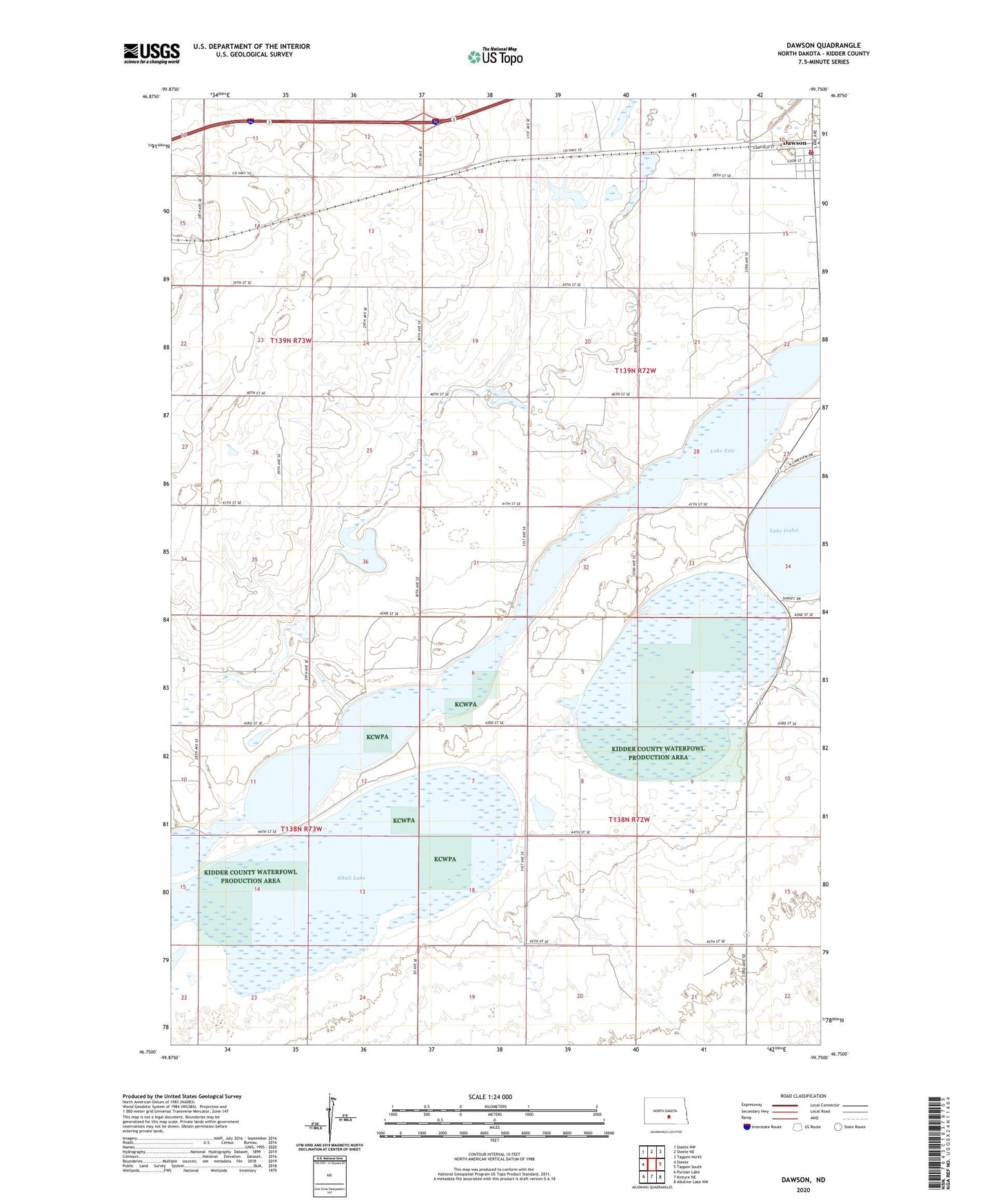
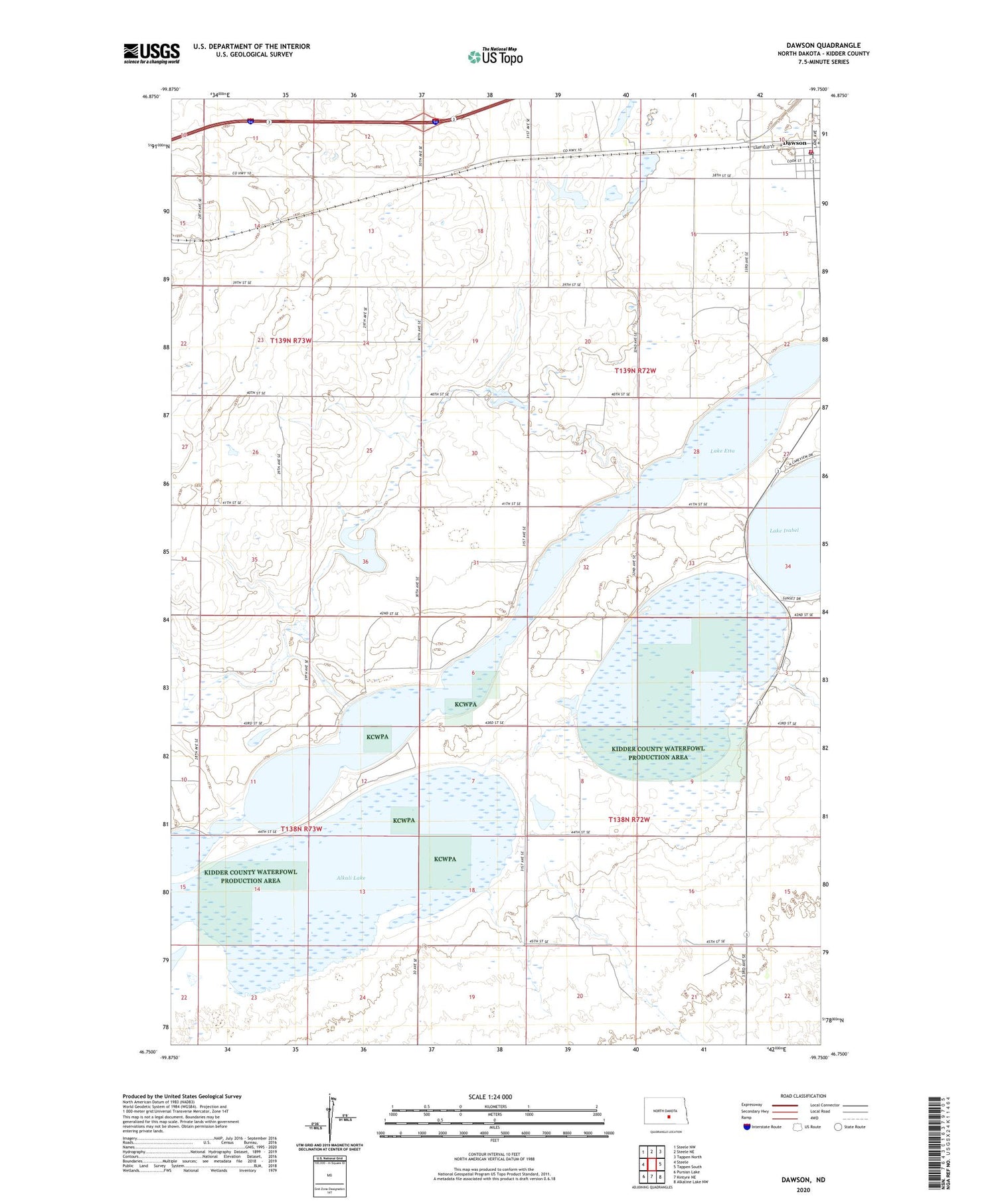
2020 topographic map quadrangle Dawson in the state of North Dakota. Scale: 1:24000. Based on the newly updated USGS 7.5' US Topo map series, this map is in the following counties: Kidder. The map contains contour data, water features, and other items you are used to seeing on USGS maps, but also has updated roads and other features. This is the next generation of topographic maps. Printed on high-quality waterproof paper with UV fade-resistant inks.
Quads adjacent to this one:
West: Steele
Northwest: Steele NW
North: Steele NE
Northeast: Tappen North
East: Tappen South
Southeast: Alkaline Lake NW
South: Kintyre NE
Southwest: Pursian Lake
Contains the following named places: Alkali Lake, City of Dawson, Dawson, Dawson Fire Protection District, Dawson Post Office, Kidder County Waterfowl Production Area, Lake Etta, Liberty School, Township of Sibley, Unorganized Territory of Liberty, Veterans Memorial Wall, ZIP Code: 58428