MyTopo
Hecla NE North Dakota US Topo Map
Couldn't load pickup availability
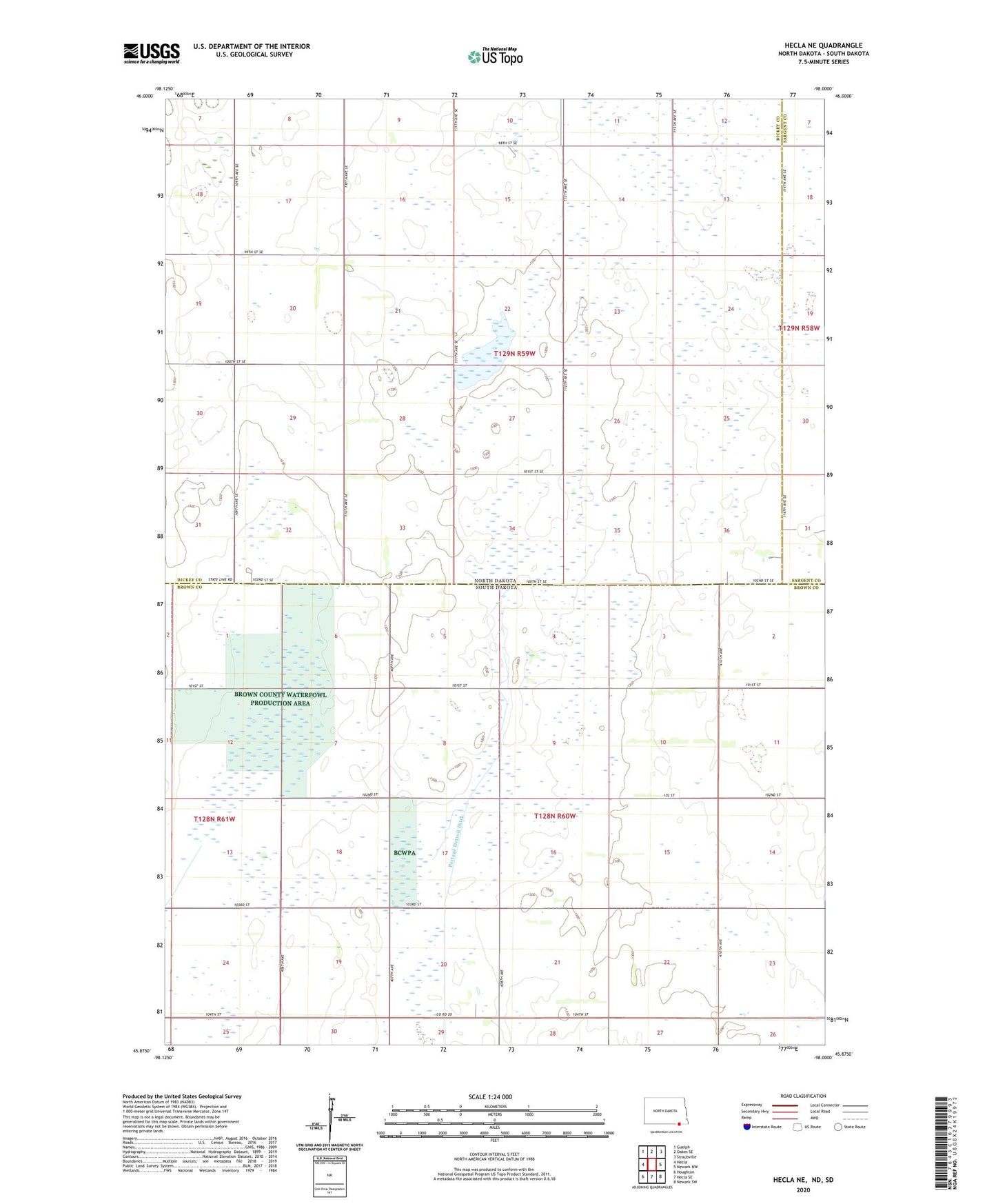
2020 topographic map quadrangle Hecla NE in the states of North Dakota, South Dakota. Scale: 1:24000. Based on the newly updated USGS 7.5' US Topo map series, this map is in the following counties: Dickey, Brown, Sargent. The map contains contour data, water features, and other items you are used to seeing on USGS maps, but also has updated roads and other features. This is the next generation of topographic maps. Printed on high-quality waterproof paper with UV fade-resistant inks.
Quads adjacent to this one:
West: Hecla
Northwest: Guelph
North: Oakes SE
Northeast: Straubville
East: Newark NW
Southeast: Newark SW
South: Hecla SE
Southwest: Houghton
Contains the following named places: Brown County Waterfowl Production Area, Eaton School Number 2, Johnson School, Pearson School, Portage Detroit Ditch, Tieeville, Tiry School, Township of Antelope, Township of Eaton, Township of Lovell, Township of Portage