MyTopo
Kramer North Dakota US Topo Map
Couldn't load pickup availability
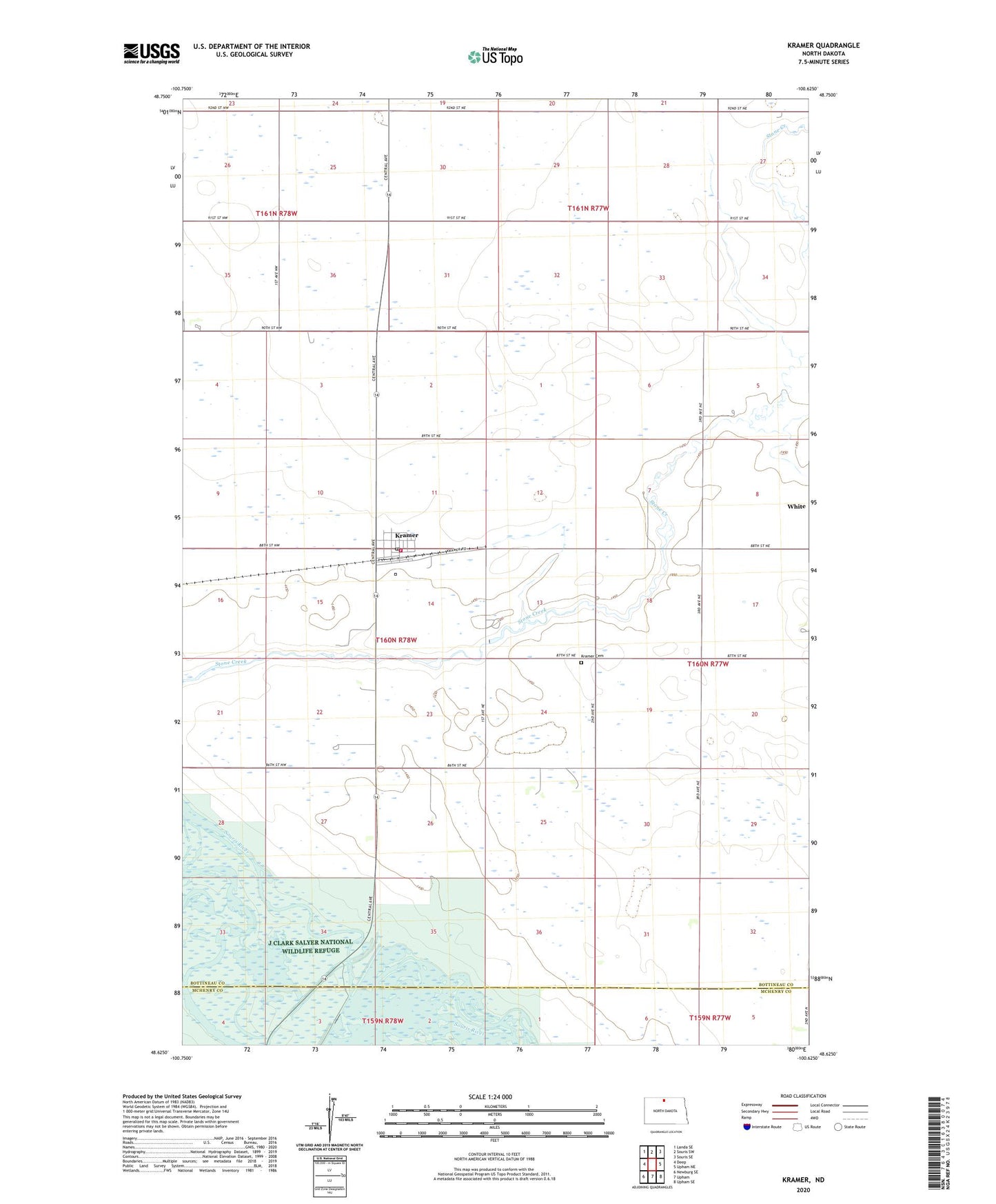
2020 topographic map quadrangle Kramer in the state of North Dakota. Scale: 1:24000. Based on the newly updated USGS 7.5' US Topo map series, this map is in the following counties: Bottineau, McHenry. The map contains contour data, water features, and other items you are used to seeing on USGS maps, but also has updated roads and other features. This is the next generation of topographic maps. Printed on high-quality waterproof paper with UV fade-resistant inks.
Quads adjacent to this one:
West: Deep
Northwest: Landa SE
North: Souris SW
Northeast: Souris SE
East: Upham NE
Southeast: Upham SE
South: Upham
Southwest: Newburg SE
Contains the following named places: City of Kramer, Dam Number 326, Kramer, Kramer Cemetery, Kramer Post Office, Kramer Volunteer Fire Department, Mouse River School Number 3, School Number 1, Thrums School Number 4, Township of Stone Creek, Unit 326 Reservoir, ZIP Code: 58748