
MyTopo
Lake Ilo North Dakota US Topo Map
Couldn't load pickup availability
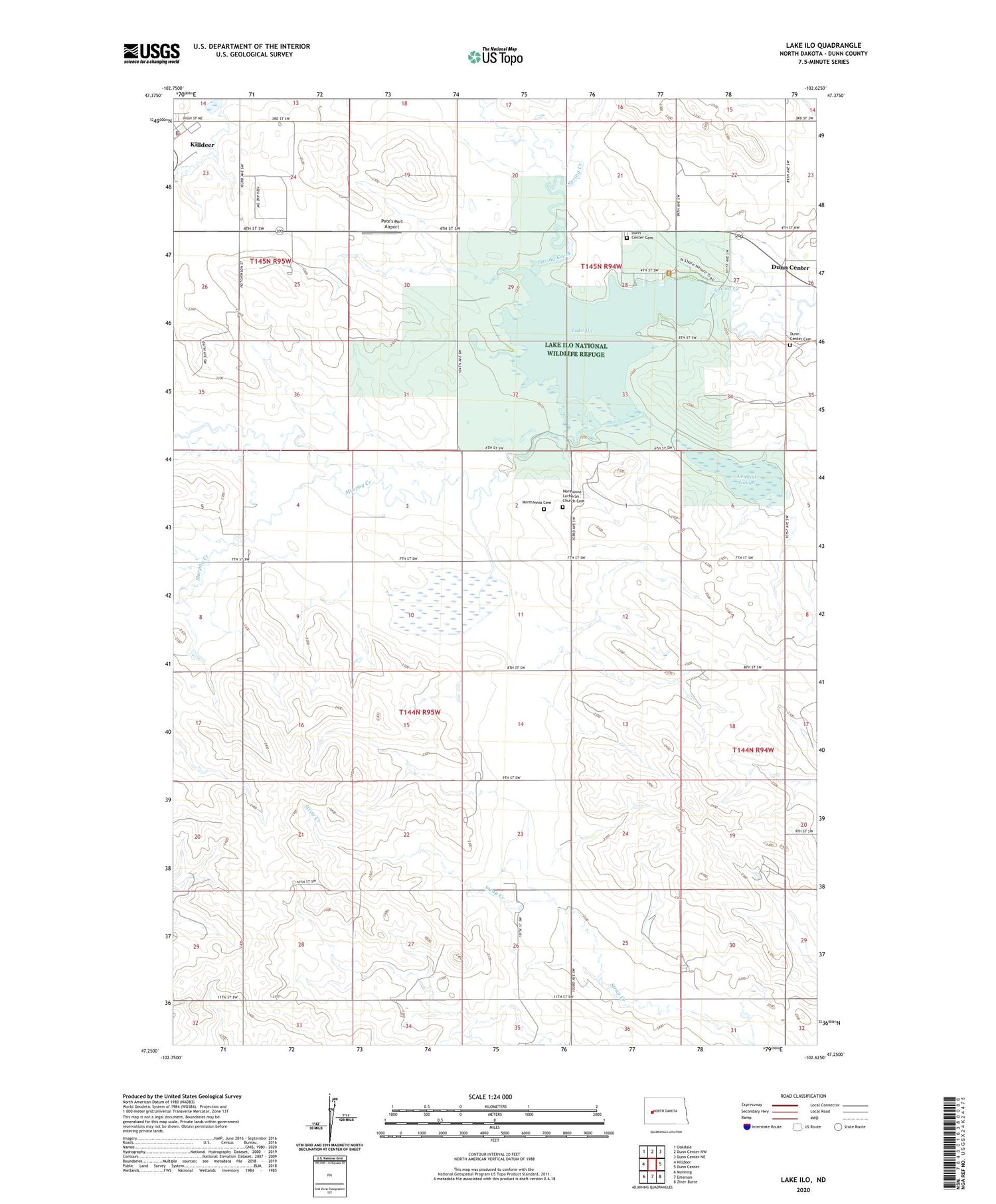
2020 topographic map quadrangle Lake Ilo in the state of North Dakota. Scale: 1:24000. Based on the newly updated USGS 7.5' US Topo map series, this map is in the following counties: Dunn. The map contains contour data, water features, and other items you are used to seeing on USGS maps, but also has updated roads and other features. This is the next generation of topographic maps. Printed on high-quality waterproof paper with UV fade-resistant inks.
Quads adjacent to this one:
West: Killdeer
Northwest: Oakdale
North: Dunn Center NW
Northeast: Dunn Center NE
East: Dunn Center
Southeast: Ziner Butte
South: Emerson
Southwest: Manning
Contains the following named places: City of Killdeer, Dunn Center Cemetery, Killdeer City Hall, Killdeer Police Department, Lake Ilo, Lake Ilo Dam, Lake Ilo National Wildlife Refuge, Le Paul Slough, Mormannia Cemetery, Murphy Creek, Normanna Lutheran Church Cemetery, Pete's Port Airport


