MyTopo
Lake Louise North Dakota US Topo Map
Couldn't load pickup availability
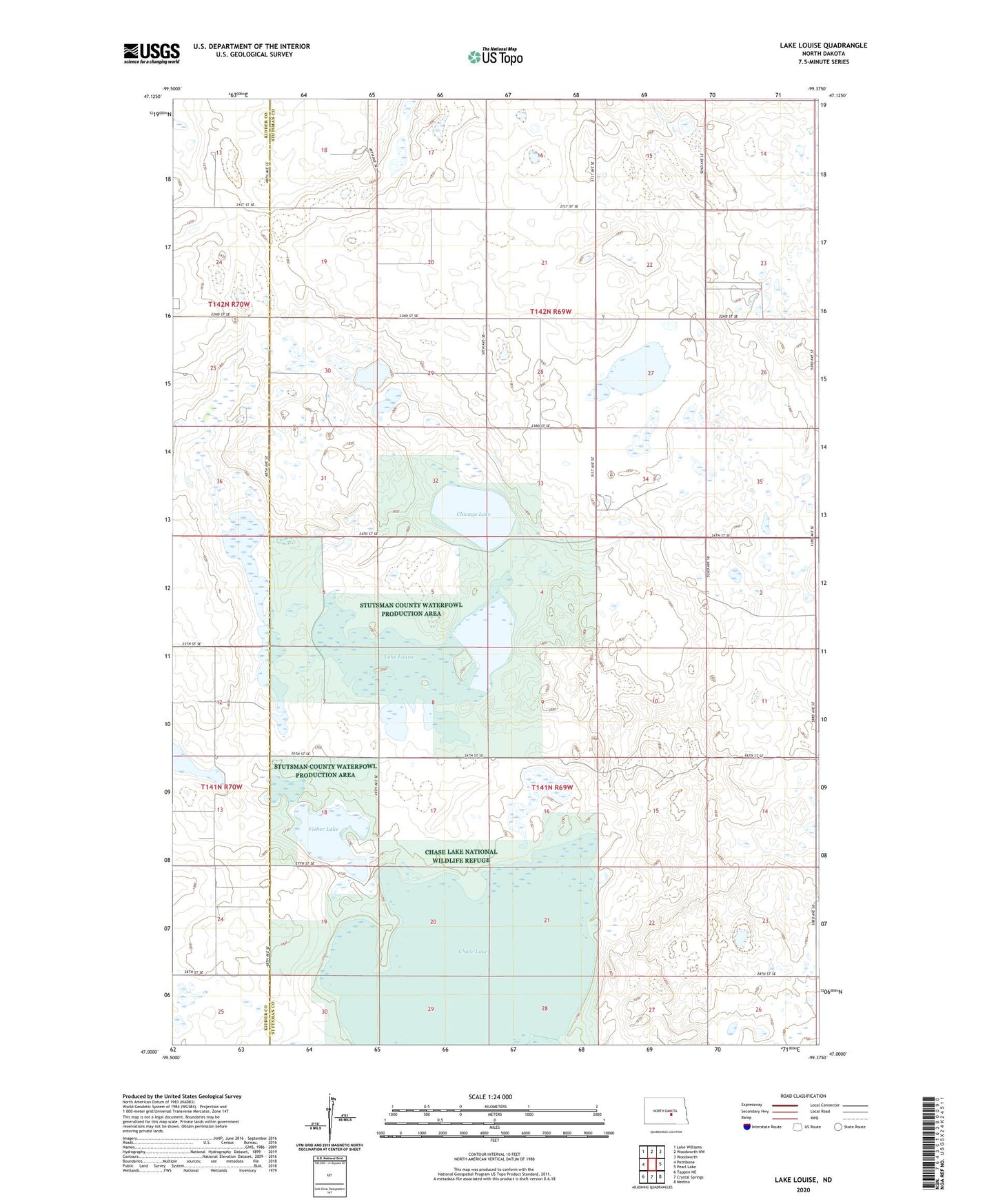
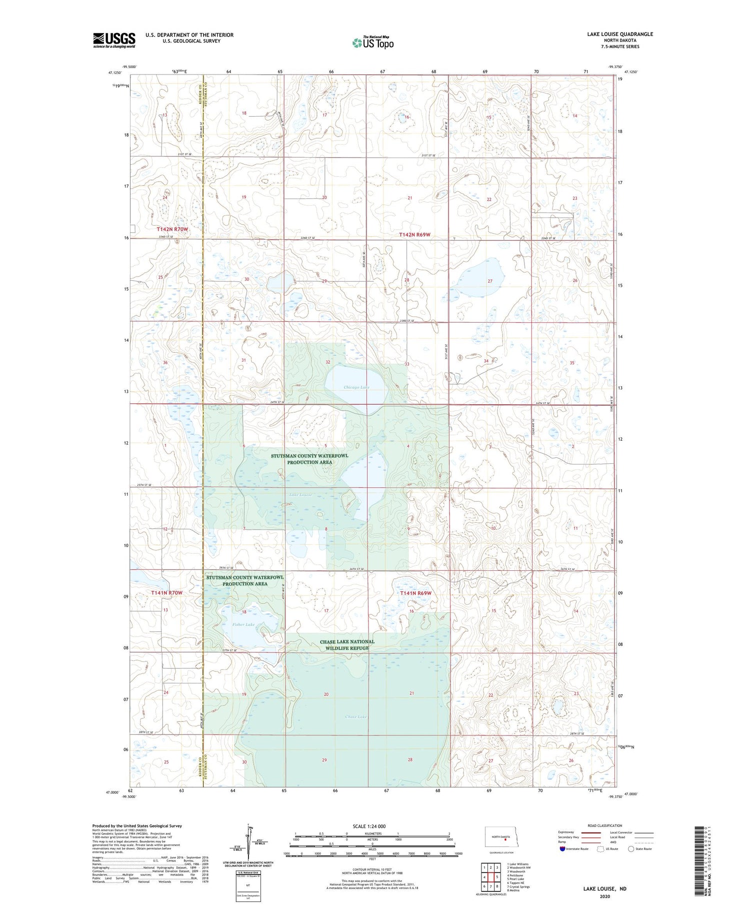
2020 topographic map quadrangle Lake Louise in the state of North Dakota. Scale: 1:24000. Based on the newly updated USGS 7.5' US Topo map series, this map is in the following counties: Stutsman, Kidder. The map contains contour data, water features, and other items you are used to seeing on USGS maps, but also has updated roads and other features. This is the next generation of topographic maps. Printed on high-quality waterproof paper with UV fade-resistant inks.
Quads adjacent to this one:
West: Pettibone
Northwest: Lake Williams
North: Woodworth NW
Northeast: Woodworth
East: Pearl Lake
Southeast: Medina
South: Crystal Springs
Southwest: Tappen NE
Contains the following named places: Chase Lake, Chase Lake National Wildlife Refuge, Chase Lake State Game Management Area, Chase Lake Wilderness, Chicago Lake, Fisher Lake, Lake Louise, Stutsman County Waterfowl Production Area, Township of Chase Lake, Township of Marstonmoor, Unorganized Territory of Chase Lake