
MyTopo
Oakwood North Dakota US Topo Map
Couldn't load pickup availability
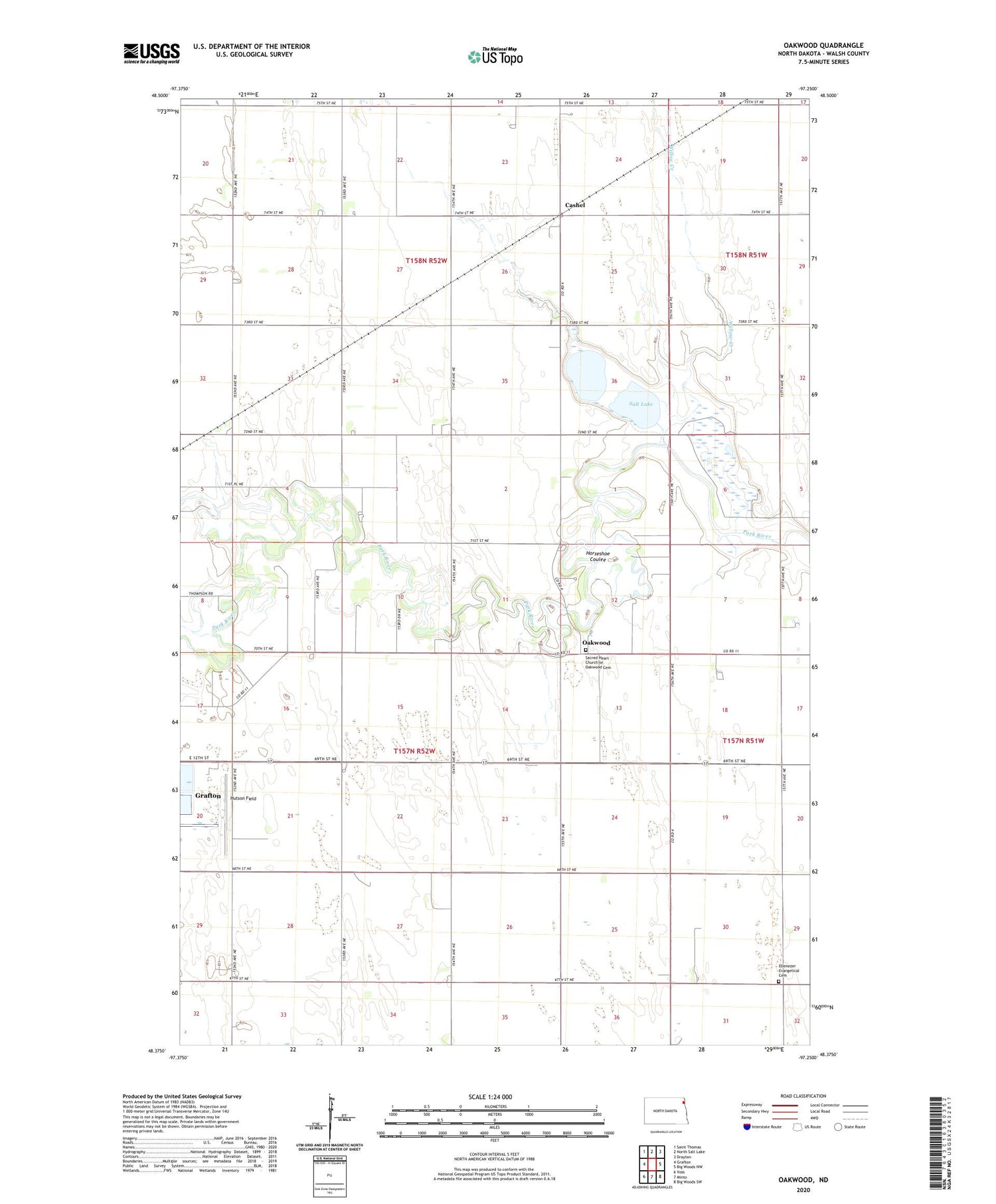
2020 topographic map quadrangle Oakwood in the state of North Dakota. Scale: 1:24000. Based on the newly updated USGS 7.5' US Topo map series, this map is in the following counties: Walsh. The map contains contour data, water features, and other items you are used to seeing on USGS maps, but also has updated roads and other features. This is the next generation of topographic maps. Printed on high-quality waterproof paper with UV fade-resistant inks.
Quads adjacent to this one:
West: Grafton
Northwest: Saint Thomas
North: North Salt Lake
Northeast: Drayton
East: Big Woods NW
Southeast: Big Woods SW
South: Minto
Southwest: Voss
Contains the following named places: Cashel, Ebenezer Evangelical Cemetery, Horseshoe Coulee, Hutson Field, Kelly's Field, Martin Town Hall, Oakwood, Sacred Heart Church of Oakwood Cemetery, Salt Lake, School Number 57, School Number 59, Township of Martin, Township of Oakwood, Willow Creek


