MyTopo
Portal North Dakota US Topo Map
Couldn't load pickup availability
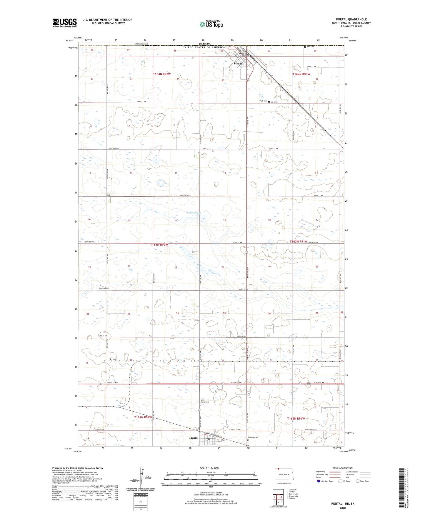
2020 topographic map quadrangle Portal in the state of North Dakota. Scale: 1:24000. Based on the newly updated USGS 7.5' US Topo map series, this map is in the following counties: Burke. The map contains contour data, water features, and other items you are used to seeing on USGS maps, but also has updated roads and other features. This is the next generation of topographic maps. Printed on high-quality waterproof paper with UV fade-resistant inks.
Quads adjacent to this one:
West: Stampede
East: Flaxton
Southeast: Woburn
South: Rennie Lake
Southwest: Beaver Lake
Contains the following named places: Bethany Cemetery, Burke Central Public School, City of Lignite, City of Portal, East Cemetery, Lignite, Lignite Community Center, Lignite Post Office, Lignite Volunteer Fire Department, Lincoln School, Little Slough, Norwegian Cemetery, Portal, Portal Ambulance Service, Portal City Hall, Portal Community Center, Portal Municipal Airport, Portal Post Office, Portal Rural Fire Department, Rival, Saint Marys Cemetery, Scontia School, Sevenmile Corner, South Cemetery, Township of Portal