MyTopo
Raub NW North Dakota US Topo Map
Couldn't load pickup availability
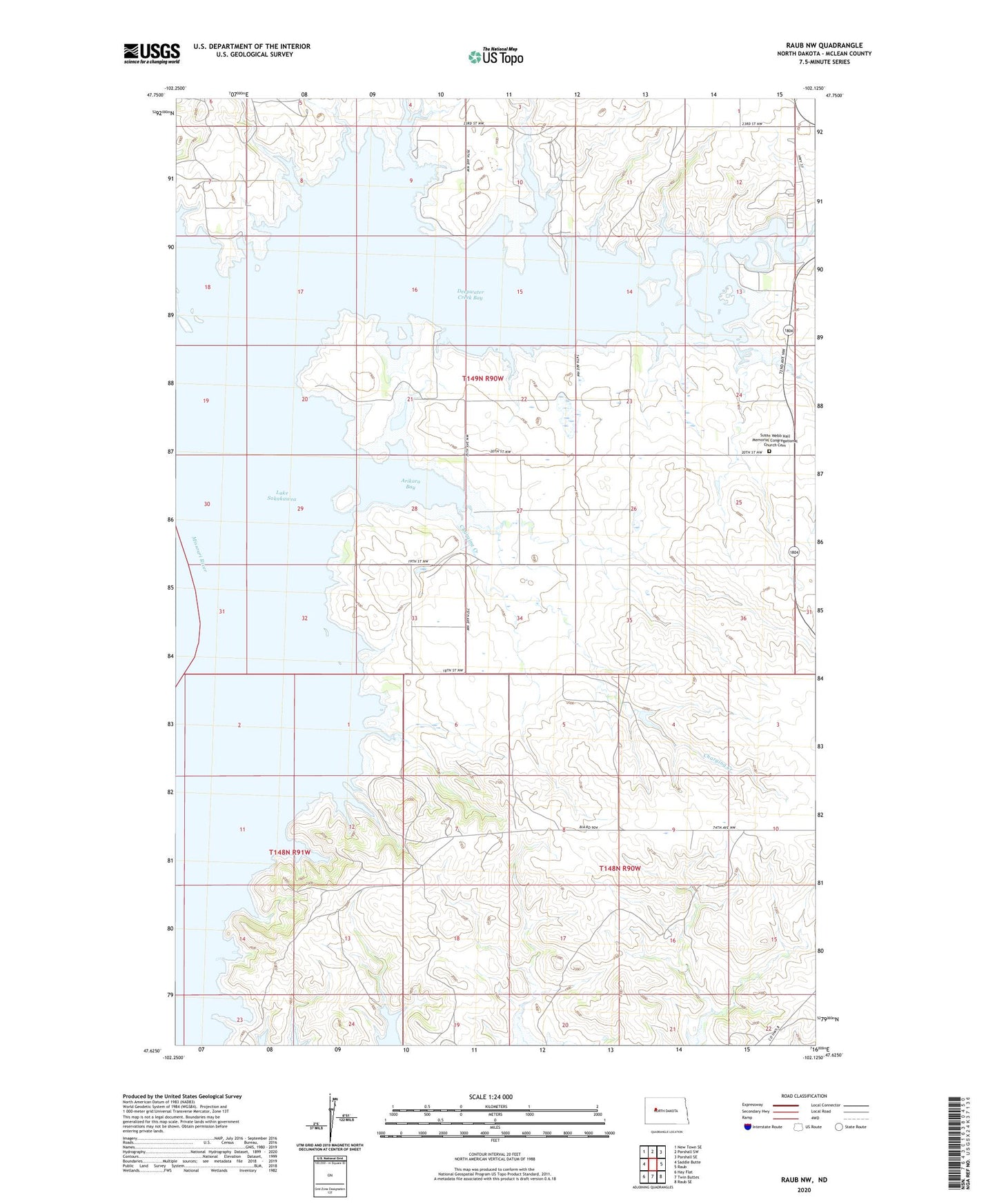
2020 topographic map quadrangle Raub NW in the state of North Dakota. Scale: 1:24000. Based on the newly updated USGS 7.5' US Topo map series, this map is in the following counties: McLean. The map contains contour data, water features, and other items you are used to seeing on USGS maps, but also has updated roads and other features. This is the next generation of topographic maps. Printed on high-quality waterproof paper with UV fade-resistant inks.
Quads adjacent to this one:
West: Saddle Butte
Northwest: New Town SE
North: Parshall SW
Northeast: Parshall SE
East: Raub
Southeast: Raub SE
South: Twin Buttes
Southwest: Hay Flat
Contains the following named places: Arikara Bay, Charging Creek, Deepwater Creek, Deepwater Creek Bay, Deepwater Creek Public Use Area, Deepwater Creek State Game Management Area, Susan Webb Hall Memorial Congregational Church Cemetery